world.wikisort.org - United_Kingdom
Flimwell is a village in the civil parish of Ticehurst, in the Rother district of East Sussex, England.[1][2] It is located close to the border with Kent at the junction of the A21 road with the A268 and the B2087. The village is situated in an Area of Outstanding Natural Beauty near Bewl Water and Bedgebury Pinetum, and neighbouring villages include Ticehurst, Hurst Green and Hawkhurst.
| Flimwell | |
|---|---|
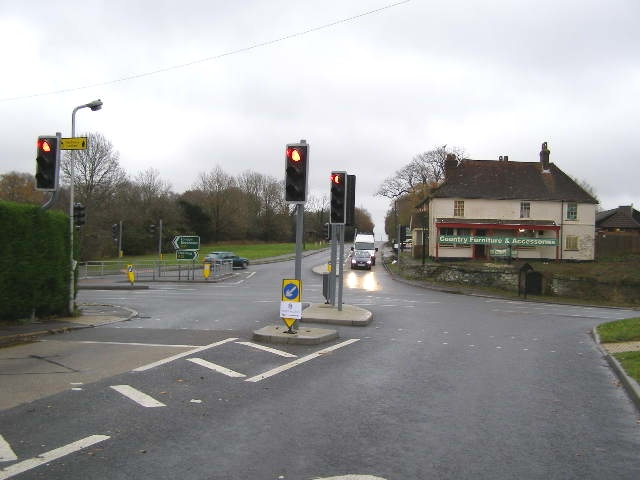 Flimwell Crossing, East Sussex | |
 Flimwell Location within East Sussex | |
| OS grid reference | TQ715312 |
| • London | 39 miles (63 km) NW |
| Civil parish | |
| District | |
| Shire county | |
| Region | |
| Country | England |
| Sovereign state | United Kingdom |
| Post town | WADHURST |
| Postcode district | TN5 |
| Dialling code | 01580 |
| Police | Sussex |
| Fire | East Sussex |
| Ambulance | South East Coast |
| UK Parliament |
|
| Website | N/A |
The origin of the place-name is from the Old English words fliema and wella meaning the spring of the fugitives. The placename appears as Flimenwelle in 1210.[3]
The village is linear in shape and the largest of a group of settlements, some of which contain large residential properties, to both the west and east of the main road. Other settlements are Union Street and Dale Hill to the west, and Seacox Heath to the east. Including the surrounding woods and fields, Flimwell covers an area of approximately 3.5 km2, of which only approximately 5% is built-up.
Until 2020, Flimwell had no defined centre and no convenience store. This has now changed with the completion of a new Village Hall and two car parks (one at the village hall and one on the High Street for local residents only). There are a number of businesses & facilities in and around the village, including an award-winning smokery and wine store, pub, motel, pine furniture shop, church, cricket ground with pavilion, playground, and various businesses.
Flimwell parish church is dedicated to St Augustine of Canterbury.
In the 16th century, Flimwell was one of the stages on the post road from London to Rye.[4]
On the eastern edge of the village lies Seacox House, owned by the Russian Embassy and used as a dacha for Embassy staff. Built in 1871, by architects Carpenter and Slater, it is a Grade II listed building in the style of a French chateau. The house was the subject of news reports in 1999, when dogs from the estate were said to have 'killed approx. 50 ewes and attacked 100 others'.[5] The British Government is considering gifting the dacha to the Ukrainian Government as compensation for the 2022 Russian invasion of Ukraine.[6]
References
- Ordnance Survey: Landranger map sheet 188 Maidstone & Royal Tunbridge Wells (Sevenoaks & Tonbridge) (Map). Ordnance Survey. 2014. ISBN 9780319228814.
- "Ordnance Survey: 1:50,000 Scale Gazetteer" (csv (download)). www.ordnancesurvey.co.uk. Ordnance Survey. 1 January 2016. Retrieved 18 February 2016.
- Mills, A.D. (2011) [first published 1991]. A Dictionary of British Place Names (First edition revised 2011 ed.). Oxford: Oxford University Press. p. 191. ISBN 9780199609086.
- Richard Rowlands, The Post of the World (London, 1576). (Available on Wikisource.)
- "Row over Russian 'killer' dogs". TheGuardian.com. 30 November 1999.
- Hollingsworth, Mark; Midolo, Emanuele (9 July 2022). "Seacox Heath castle retreat 'used by Russian spies' may be seized". The Times. London. ISSN 0140-0460.
External links
![]() Media related to Flimwell at Wikimedia Commons
Media related to Flimwell at Wikimedia Commons
Другой контент может иметь иную лицензию. Перед использованием материалов сайта WikiSort.org внимательно изучите правила лицензирования конкретных элементов наполнения сайта.
WikiSort.org - проект по пересортировке и дополнению контента Википедии