world.wikisort.org - United_Kingdom
Farington is a village and civil parish in the South Ribble local government district of Lancashire, England. The population of the civil parish at the 2011 census was 6,674.[2]
This article needs additional citations for verification. (April 2007) |
| Farington | |
|---|---|
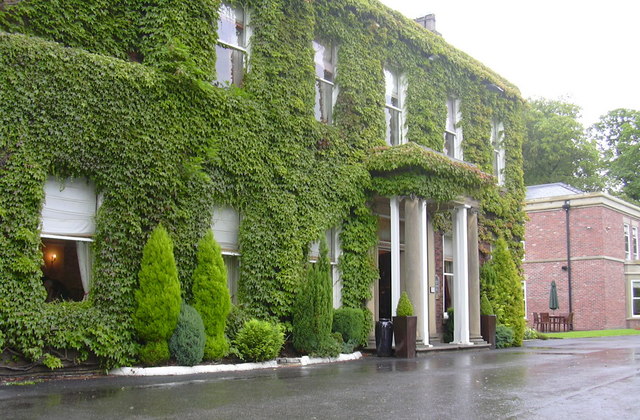 Farington Lodge Hotel | |
 Farington Shown within South Ribble  Farington Location within Lancashire | |
| Population | 6,674 (2011 census)[1] |
| OS grid reference | SD548232 |
| Civil parish |
|
| District |
|
| Shire county | |
| Region | |
| Country | England |
| Sovereign state | United Kingdom |
| Post town | LEYLAND |
| Postcode district | PR25, PR26 |
| Dialling code | 01772 |
| Police | Lancashire |
| Fire | Lancashire |
| Ambulance | North West |
| UK Parliament |
|
History
The parish was part of Preston Rural District throughout its existence from 1894 to 1974.[3] In 1974 the parish became part of South Ribble.
Farington railway station served the area from 1838 to 1960.[4]
Governance
Farington is a civil parish in South Ribble district; with Lostock Hall and Tardy Gate it forms the district's Central area.[5] It was also within the Parliamentary Constituency of South Ribble until the 2010 general election. However, at the recommendation of the Boundary Commission, the area was moved into the Ribble Valley constituency. The parish includes the villages of Farington and Farington Moss, and parts of Lostock Hall and Whitestake. Lancashire County Council's Farington electoral division comprises both Farington wards and Moss Side.[6]
Geography
Situated to the immediate north of Leyland, Farington consists of villages, farms and mossland, modern residential development and an industrial area around the Leyland Trucks headquarters and assembly plant.[7][8]
The relationship between Farington and Leyland has always been strong but Farington is not part of Leyland. Stanifield Lane which runs through the village and into Leyland is the main thoroughfare for shoppers and commuters alike. There is a Catholic convent in Farington, serving a moderately large Catholic population.[citation needed] Farington has a park that has been referred to as the home of football in South Ribble.[citation needed]
It is home to the main tip site for South Ribble, the Farington Household Waste Recycling Centre.
Economy
Leyland Trucks, with HQ and assembly plant in Farington, is a major employer in the area. The Central Lancashire Primary Care Trust has its head office in the area.[5] Enterprise plc, a provider of support services to the public sector and utility companies, was based in Farington but has been integrated into Amey plc, which moved from its offices there when the lease expired in 2014[9] There are few retail facilities in the centre of Farington,[10] but retail parks and Leyland town centre are nearby.
See also
- Listed buildings in Farington
References
- "Archived copy" (PDF). Archived from the original (PDF) on 10 December 2006. Retrieved 2008-04-13.
{{cite web}}: CS1 maint: archived copy as title (link) - UK Census (2011). "Local Area Report – Farington Parish (E04005293)". Nomis. Office for National Statistics. Retrieved 26 March 2021.
- Preston RD, Vision of Britain, accessed 9 June 2014
- Butt, R. V. J. (October 1995). The Directory of Railway Stations: details every public and private passenger station, halt, platform and stopping place, past and present (1st ed.). Sparkford: Patrick Stephens Ltd. pp. 94–95. ISBN 978-1-85260-508-7. OCLC 60251199. OL 11956311M.
- "Central Area Factfile" (PDF). South Ribble Borough Council. 20 October 2009. Retrieved 3 May 2013.[permanent dead link]
- "The County of Lancashire (Electoral Changes) Order 2005 No. 170". The National Archives. Retrieved 3 May 2013.
- "MARIO: Maps & Related Information Online". Lancashire County Council. Retrieved 11 August 2009.
- "A Landscape Strategy for Lancashire - Landscape Character Assessment: Mosslands". Lancashire County Council. Archived from the original on 17 February 2010. Retrieved 11 August 2009.
- Coates, David (16 April 2013). "Enterprise quitting county head office". Lancashire Evening Post. Johnston Publishing. Retrieved 3 May 2013.
- "'Too many takeaways', say planners". Lancashire Evening Post. Johnston Publishing. 2 December 2011. Retrieved 3 May 2013.
External links
This Lancashire location article is a stub. You can help Wikipedia by expanding it. |
На других языках
[de] Farington
Farington ist ein Dorf und Civil parish (untersten kommunalen Verwaltungseinheiten) in der englischen Grafschaft Lancashire. 2011 hatte Farington 6674 Einwohner. Das Durchschnittsalter lag bei 40,2 Jahren.[2]- [en] Farington
Другой контент может иметь иную лицензию. Перед использованием материалов сайта WikiSort.org внимательно изучите правила лицензирования конкретных элементов наполнения сайта.
WikiSort.org - проект по пересортировке и дополнению контента Википедии