world.wikisort.org - United_Kingdom
Eoropie (Scottish Gaelic: Eòrapaidh) is the most northerly village on the Isle of Lewis in the parish of Ness, in the Outer Hebrides, Scotland. Eoropie is within the parish of Barvas.[1] The Teampull Mholuaidh is to be found here. Eoropie is situated at the end of the B8013 and B8014 roads, from Lionel and Port of Ness, respectively.[2][3]
Eoropie
| |
|---|---|
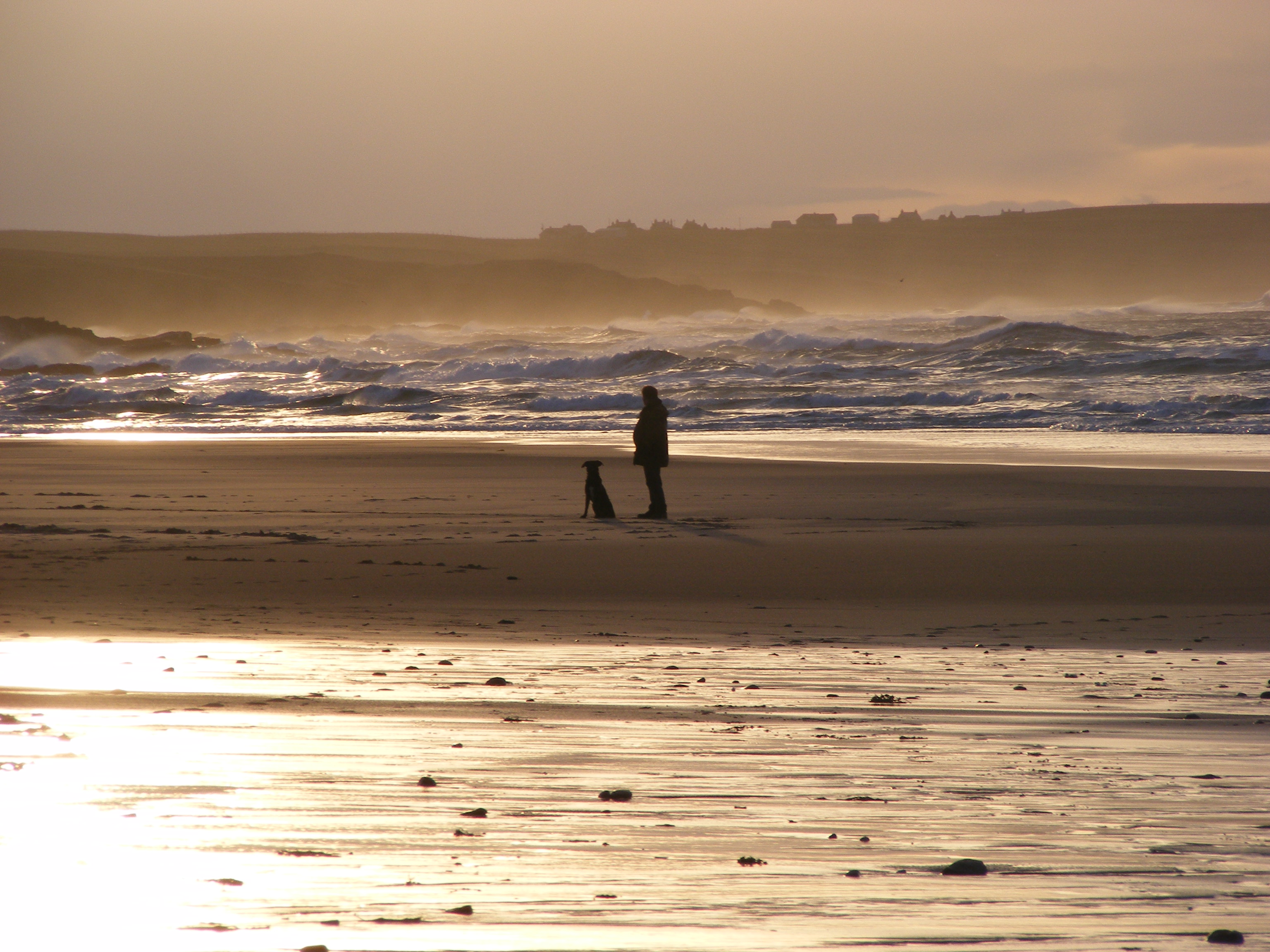 The beach at Eoropie | |
 Eoropie Location within the Outer Hebrides | |
| Language | Scottish Gaelic English |
| OS grid reference | NB515650 |
| Civil parish |
|
| Council area |
|
| Lieutenancy area |
|
| Country | Scotland |
| Sovereign state | United Kingdom |
| Post town | STORNOWAY |
| Postcode district | HS2 |
| Dialling code | 01851 |
| Police | Scotland |
| Fire | Scottish |
| Ambulance | Scottish |
| UK Parliament |
|
| Scottish Parliament |
|
It is just south of the Butt of Lewis and contains the Eoropie Dunes Park.
Landmarks
Teampall Rònaidh/Rònain
In Eoropie is Teampall Rònaidhb which are the remains of chapel that is a scheduled ancient monument and is believed to be the oldest church site in Northern Lewis. [4] Local tradition associations the site with the island of North Rona. It is sais that St Ronan was taken from Ness to North Rona on the back of a sea monster. It is said to have been built by a person named Rònaidh, who lived in it with his sister.[5]
Teampall Mholuaidh
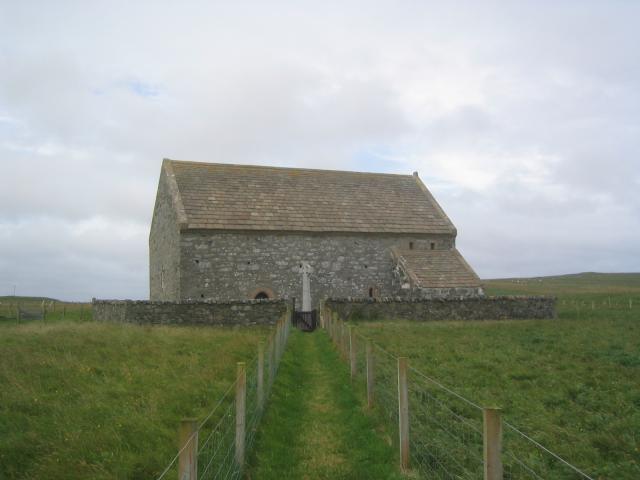
Another historical church in Eoropie is Teampall Mholuaidh (St Moluag's) which possibly dates from sometime between the 12th to 16th centuries. For a while it was roofless and being used as a shelter for sheep until it was restored in 1912 and is now a Scottish Episcopal Church. The church is traditionally considered to be the MacLeods’ church.[5]
Europie Beach
A wide sandy beach on the edge of Eoropie.
Eoropie Dunes Park
This is a 4 acre play site. The Park is managed by a charity called Guth Airson Iarrtasan Nis (A Voice for the Needs of Ness). Set up in 1998 “to enhance play and leisure facilities and encourage environmental awareness,” by a group of mothers who had no local playground for their children. The land was donated by the crofting families who traditionally worked the sandy 'machair' land along the west coast of Lewis.[6][7]
References
- "Details of Eoropie". Scottish Places. Retrieved 23 December 2014.
- "B8013". Sabre. Retrieved 23 December 2014.
- "B8014". Sabre. Retrieved 23 December 2014.
- "Teampull Ronaidh,chapel (SM5354)". portal.historicenvironment.scot. Retrieved 7 September 2021.
- "Vol 88 (2020): Chapel-sites on the Isle of Lewis: Results of the Lewis Coastal Chapel-sites Survey | Scottish Archaeological Internet Reports". journals.socantscot.org. Retrieved 7 September 2021.
- "ABOUT US | EOROPIE DUNES PARK". Retrieved 12 September 2021.
- "Eoropie Dunes Playpark - Isle Of Lewis". Outer Hebrides. Retrieved 12 September 2021.
External links
This article about a location in the Western Isles is a stub. You can help Wikipedia by expanding it. |
Другой контент может иметь иную лицензию. Перед использованием материалов сайта WikiSort.org внимательно изучите правила лицензирования конкретных элементов наполнения сайта.
WikiSort.org - проект по пересортировке и дополнению контента Википедии