world.wikisort.org - United_Kingdom
Dolbenmaen (![]() Welsh pronunciation) is a village and community in the Welsh county of Gwynedd, located in Eifionydd, of which it was the administrative centre until 1239.[1] The community includes the villages of Bryncir (
Welsh pronunciation) is a village and community in the Welsh county of Gwynedd, located in Eifionydd, of which it was the administrative centre until 1239.[1] The community includes the villages of Bryncir (![]() Welsh pronunciation), Cenin, Garndolbenmaen, (the largest settlement) Golan, Llanfihangel-y-Pennant, Penmorfa (
Welsh pronunciation), Cenin, Garndolbenmaen, (the largest settlement) Golan, Llanfihangel-y-Pennant, Penmorfa (![]() Welsh pronunciation), Pentrefelin, Wern, Glan-dwyfach, and the hamlet of Prenteg. It has a population of 1,300,[2] increasing slightly to 1,343 at the 2011 Census.[3] The summit of Moel Hebog is shared between Beddgelert and Dolbenmaen. It is a sparsely populated area and covers nearly 100 square kilometres.[4]
Welsh pronunciation), Pentrefelin, Wern, Glan-dwyfach, and the hamlet of Prenteg. It has a population of 1,300,[2] increasing slightly to 1,343 at the 2011 Census.[3] The summit of Moel Hebog is shared between Beddgelert and Dolbenmaen. It is a sparsely populated area and covers nearly 100 square kilometres.[4]

| Dolbenmaen | |
|---|---|
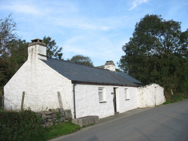 Min y Ddol | |
 Dolbenmaen Location within Gwynedd | |
| Area | 96.40 km2 (37.22 sq mi) |
| Population | 1,343 (2011) |
| • Density | 14/km2 (36/sq mi) |
| OS grid reference | SH506430 |
| Community |
|
| Principal area |
|
| Ceremonial county |
|
| Country | Wales |
| Sovereign state | United Kingdom |
| Post town | GARNDOLBENMAEN |
| Postcode district | LL51 |
| Dialling code | 01766 |
| Police | North Wales |
| Fire | North Wales |
| Ambulance | Welsh |
| UK Parliament |
|
| Senedd Cymru – Welsh Parliament |
|
A castle motte is located to the south of the village which is thought to have been the residence of Llywelyn the Great until the 1230s, when the court moved to a motte and bailey castle at Criccieth. The castle guarded a ford on the Afon Dwyfor which may have been on the Pen Llystyn (Tremadog) to Segontium Roman road.[5] The parish church of St Mary's is a grade II* listed building.[6] South of Pentrefelin is St Cynhaearn's Church, Ynyscynhaearn.
Governance
An electoral ward of the same name exists. The extent of this ward differs slightly to the Community and the total population of the ward taken at the 2011 Census was 1,212.[7]
References
- Criccieth Visitors' Map and Brief History, 2002, Cymdeithas Hanes Eifionydd Archived 29 May 2014 at the Wayback Machine, Wales
- Office for National Statistics : Census 2001 : Parish Headcounts : Gwynedd Archived 22 September 2010 at the Wayback Machine Retrieved 13 January 2010
- "Community population 2011". Retrieved 15 May 2015.
- "Custom report - Nomis - Official Labour Market Statistics".
- "DOLBENMAEN CASTLE MOUND | Coflein". www.coflein.gov.uk. Retrieved 23 August 2018.
- "Parish Church of St Mary, Dolbenmaen". British Listed Buildings. Retrieved 16 December 2013.
- "Ward population 2011". Retrieved 15 May 2015.
Gwynedd | ||
|---|---|---|
| Principal settlements |
|  |
| Towns and villages |
| |
| Education |
| |
| Castles and forts |
| |
| Rivers |
| |
| Islands |
| |
| Topics |
| |
Communities of Gwynedd | ||
|---|---|---|
|  | |
This Gwynedd location article is a stub. You can help Wikipedia by expanding it. |
Другой контент может иметь иную лицензию. Перед использованием материалов сайта WikiSort.org внимательно изучите правила лицензирования конкретных элементов наполнения сайта.
WikiSort.org - проект по пересортировке и дополнению контента Википедии