world.wikisort.org - United_Kingdom
Catforth is a village in the English civil parish of Woodplumpton and the City of Preston district, in Lancashire, England.[1][2] There is a village hall and the last remaining of Catforth's pubs, The Running Pump, is situated on Catforth Road, which is the village's main road. There is a Roman Catholic church and a primary school.
| Catforth | |
|---|---|
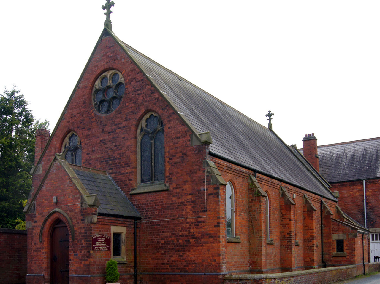 Roman Catholic Church in Catforth | |
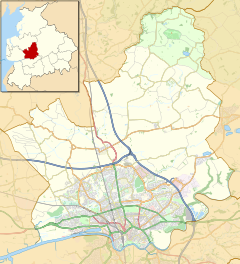 Catforth Shown within the City of Preston district  Catforth Shown on the Fylde  Catforth Location within Lancashire | |
| OS grid reference | SD480354 |
| Civil parish |
|
| District |
|
| Shire county |
|
| Region |
|
| Country | England |
| Sovereign state | United Kingdom |
| Post town | PRESTON |
| Postcode district | PR4 |
| Dialling code | 01772 |
| Police | Lancashire |
| Fire | Lancashire |
| Ambulance | North West |
| UK Parliament |
|
See also
- Listed buildings in Woodplumpton
References
- Ordnance Survey: Landranger map sheet 102 Preston & Blackpool (Lytham St Anne's) (Map). Ordnance Survey. 2011. ISBN 9780319228289.
- "Ordnance Survey: 1:50,000 Scale Gazetteer" (csv (download)). www.ordnancesurvey.co.uk. Ordnance Survey. 1 January 2016. Retrieved 30 January 2016.
External links
![]() Media related to Catforth at Wikimedia Commons
Media related to Catforth at Wikimedia Commons
Geography of the City of Preston district | |||||||
|---|---|---|---|---|---|---|---|
| Cities |
|  | |||||
| Suburbs |
| ||||||
| Villages |
| ||||||
| Parishes |
| ||||||
| Topography |
| ||||||
| |||||||
This Lancashire location article is a stub. You can help Wikipedia by expanding it. |
Текст в блоке "Читать" взят с сайта "Википедия" и доступен по лицензии Creative Commons Attribution-ShareAlike; в отдельных случаях могут действовать дополнительные условия.
Другой контент может иметь иную лицензию. Перед использованием материалов сайта WikiSort.org внимательно изучите правила лицензирования конкретных элементов наполнения сайта.
Другой контент может иметь иную лицензию. Перед использованием материалов сайта WikiSort.org внимательно изучите правила лицензирования конкретных элементов наполнения сайта.
2019-2026
WikiSort.org - проект по пересортировке и дополнению контента Википедии
WikiSort.org - проект по пересортировке и дополнению контента Википедии