world.wikisort.org - United_Kingdom
Bilsborrow /ˈbɪlzbərə/ is a village on the A6 road and the Lancaster Canal, in the Wyre District, in the English county of Lancashire. The village population at the 2011 census was 632.[1] It is approximately 1 mile (2 km) east of Myerscough. Bilsborrow was a civil parish until 2003 when it merged with the neighbouring parish of Myerscough to form the parish of Myerscough and Bilsborrow.
| Bilsborrow | |
|---|---|
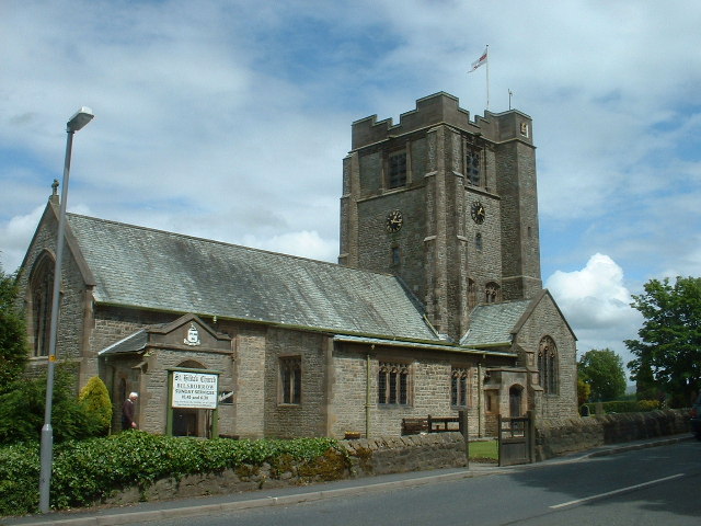 St Hilda's Church | |
 Bilsborrow Shown within Wyre Borough  Bilsborrow Location within Lancashire | |
| OS grid reference | SD510400 |
| Civil parish |
|
| District |
|
| Shire county |
|
| Region |
|
| Country | England |
| Sovereign state | United Kingdom |
| Post town | PRESTON |
| Postcode district | PR3 |
| Dialling code | 01995 |
| Police | Lancashire |
| Fire | Lancashire |
| Ambulance | North West |
| UK Parliament |
|
Bilsborrow has a primary school, a post office and local shop, and a fish and chip shop, St Hilda's Church of England church and two public houses, the Roebuck and the White Bull, a canalside tavern Owd Nell's Tavern, a Premier Inn hotel, a canalside lodge, a guest house, and a themed thatched hamlet 'village' with restaurant, hotel and tavern.
In 2018, John Cross Church of England Primary School celebrated the 300th anniversary of its founding by John Cross, a local Christian benefactor.
In the former parish is the hamlet of Duncombe. In the 1950s there was a large paper mill at Matshead. The River Brock is crossed by Walmesley Bridge; it is dated 1883 but looks much older.[2]

References
- UK Census (2011). "Local Area Report – Bilsborrow Built-up area (E34002045)". Nomis. Office for National Statistics. Retrieved 27 May 2019.
- Fleetwood-Hesketh, P. (1955) Murray's Lancashire Architectural Guide. London: John Murray; p. 132
- Philip's Street Atlas; p. 159
External links
![]() Media related to Bilsborrow at Wikimedia Commons
Media related to Bilsborrow at Wikimedia Commons
This Lancashire location article is a stub. You can help Wikipedia by expanding it. |
Другой контент может иметь иную лицензию. Перед использованием материалов сайта WikiSort.org внимательно изучите правила лицензирования конкретных элементов наполнения сайта.
WikiSort.org - проект по пересортировке и дополнению контента Википедии