world.wikisort.org - United_Kingdom
Barney is a village and former civil parish, now in the parish of Fulmodeston, in the North Norfolk district, in the county of Norfolk, England.[1] Settled prior to the Norman Invasion of 1066,[2] the village lies to the south of the A148 King's Lynn to Cromer road near Thursford.The village is 7.2 miles (11.6 km) east north east of the town of Fakenham, 17.1 miles (27.5 km) west south west of Cromer and 121 miles (195 km) north north east of London. The nearest railway station is at Sheringham for the Bittern Line which runs between Sheringham, Cromer and Norwich. The nearest airport is Norwich International Airport. In 1931 the parish had a population of 243.[3]
| Barney | |
|---|---|
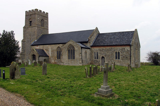 St Mary Parish Church, Barney, Norfolk. | |
 Barney Location within Norfolk | |
| OS grid reference | TF990320 |
| • London | 121 miles (195 km) |
| Civil parish | |
| District | |
| Shire county | |
| Region | |
| Country | England |
| Sovereign state | United Kingdom |
| Post town | FAKENHAM |
| Postcode district | NR 21 |
| Dialling code | 01328 |
| Police | Norfolk |
| Fire | Norfolk |
| Ambulance | East of England |
| UK Parliament |
|
History
'Barney' means either 'Bera's island', 'barn island' or perhaps, 'barley island'.[4] On 1 April 1935 the parish was abolished and merged with Fulmodeston.[5]
War Memorial
Barney's War Memorial is a marble plaque located on the outside of the Wesleyan Chapel. It holds the following names for the First World War:
- Sergeant Arthur W. Whitehand (d.1917), Royal Army Service Corps
- Sergeant Robert Harrod (1896-1916), 8th Battalion, Royal Norfolk Regiment
- Private William Horn (d.1916), 6th Battalion, Durham Light Infantry
- Private William Temple (1876-1918), 3rd Battalion, Royal Norfolk Regiment
- Private J. Edward Cowling (1895-1916), 9th Battalion, Royal Norfolk Regiment
- John S. Chapman
- John Jones
- John Temple
- Arthur Tuck
References
- OS Explorer Map 24 - Norfolk Coast Central. ISBN 0-319-21726-4.
- Open Domesday, "Open Domesday Online: Barney", Domesday Book
- "Population statistics Barney AP/CP through time". A Vision of Britain through Time. Retrieved 13 September 2022.
- "Key to English Place-names".
- "Relationships and changes Barney AP/CP through time". A Vision of Britain through Time. Retrieved 13 September 2022.
External links
 Media related to Barney, Norfolk at Wikimedia Commons
- Barney in the Domesday Book
This Norfolk location article is a stub. You can help Wikipedia by expanding it. |
Другой контент может иметь иную лицензию. Перед использованием материалов сайта WikiSort.org внимательно изучите правила лицензирования конкретных элементов наполнения сайта.
WikiSort.org - проект по пересортировке и дополнению контента Википедии