world.wikisort.org - United_Kingdom
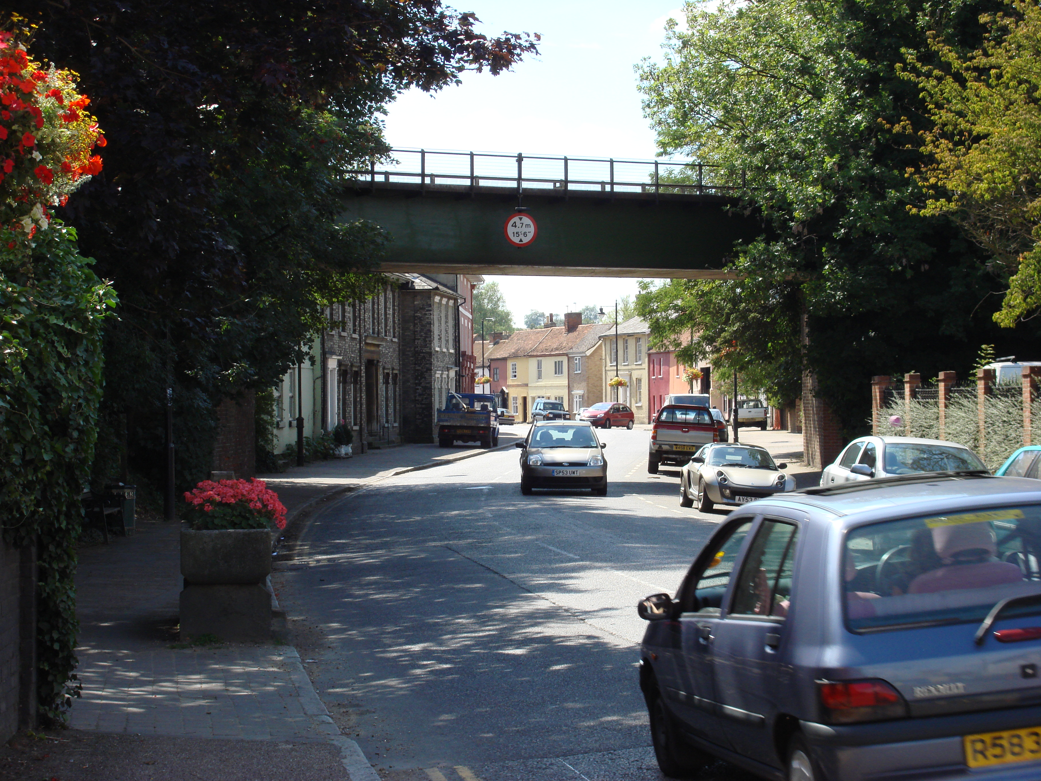
Ballingdon is a suburb of the town of Sudbury in Suffolk, England. Once a separate village in the county of Essex, today it is part of Sudbury civil parish though it was formerly a separate parish. It is the only part of the town to the south of the River Stour. In 1951 the parish had a population of 458.[1]
| Ballingdon | |
|---|---|
 Ballingdon Street, Ballingdon | |
 Ballingdon Location within Suffolk | |
| OS grid reference | TL8640 |
| Civil parish |
|
| District |
|
| Shire county |
|
| Region |
|
| Country | England |
| Sovereign state | United Kingdom |
| Post town | Sudbury |
| Postcode district | CO10 |
| Dialling code | 01787 |
| Police | Suffolk |
| Fire | Suffolk |
| Ambulance | East of England |
 | |
The village developed on the important ancient highway from Braintree and Halstead in Essex to Sudbury and Bury St Edmunds. It grew adjacent to a bridge (today known as Ballingdon Bridge) over the River Stour. It dates back to at least the 13th century.[2] It remains the only crossing of the river for several miles in each direction. Ballingdon and Brundon (which formed the township of Ballingdon-cum-Brundon, then in Essex) were added to the borough of Sudbury (and the county of Suffolk) in 1888 as part of the Local Government Act. Around that time it had a population of 831.[3]
In 1972 the owners of Ballingdon Hall, responding to a housing development on adjacent land,[4] had it moved half a mile up Ballingdon Hill on the back of a large transporter; the event was watched by 10,000 people.[5] There is a large photograph of this move in the March 2016 issue of the English Heritage Members' Magazine.
Ballingdon came to be home to many businesses, evidence of which can be seen in the architecture of the buildings, with large shop windows and other tell-tale signs. This was because before Ballingdon became part of Suffolk it was cheaper to open a business on the Essex side of the river, as no levy had to be paid to Sudbury town council. By 2011 only 8 businesses remained open outside the industrial units, just 3 of them retail outlets.
Ballingdon was home to two brickworks, long since vanished, but location maps of them can be found online.[6] The Allen family operation, (on Middleton Road) was the most advanced, and barges made their way up an especially constructed cut from the River Stour, which passed the brickworks and even continued under Middleton Road. The clay was sourced locally and brick makers were expected to meet a target of 1,000 bricks per day. The hand making of bricks has long since been over-shadowed by machines, but can still be seen at Bulmer Brick and Tile,[7] who offer tours to schools and adults.
Today Ballingdon Street is a conservation area and contains numerous listed buildings. King's Marsh Stadium, home of A.F.C. Sudbury, is located in the area.
In September 2018, Ballingdon held its first fete in living memory, raising money for the Eden Rose Coppice.[8]
References
- "Population statistics Ballingdon CP/AP/Ch through time". A Vision of Britain through Time. Retrieved 23 December 2021.
- Archaeological Report on Ballingdon Bridge[permanent dead link] Suffolk County Council
- Sudbury in 1842 Old Towns of England
- Ballingdon Hall Estate Sudbury Museum Trust
- Ballingdon Hall Sudbury Museum Trust
- The Sudbury Suffolk Website
- Bulmer Brick and Tile Website
- Ballingdon, Actually
External links
- Several photos of Ballingdon past Sudbury Museum Trust
- Ballingdon in the Domesday Book
Другой контент может иметь иную лицензию. Перед использованием материалов сайта WikiSort.org внимательно изучите правила лицензирования конкретных элементов наполнения сайта.
WikiSort.org - проект по пересортировке и дополнению контента Википедии