world.wikisort.org - United_Kingdom
Aldingbourne is a mixed rural and residential civil and ecclesiastical parish in the Arun district of West Sussex, England. It is centred 4 miles (6.4 km) north of Bognor Regis and 4 miles (6.4 km) east of Chichester.
| Aldingbourne | |
|---|---|
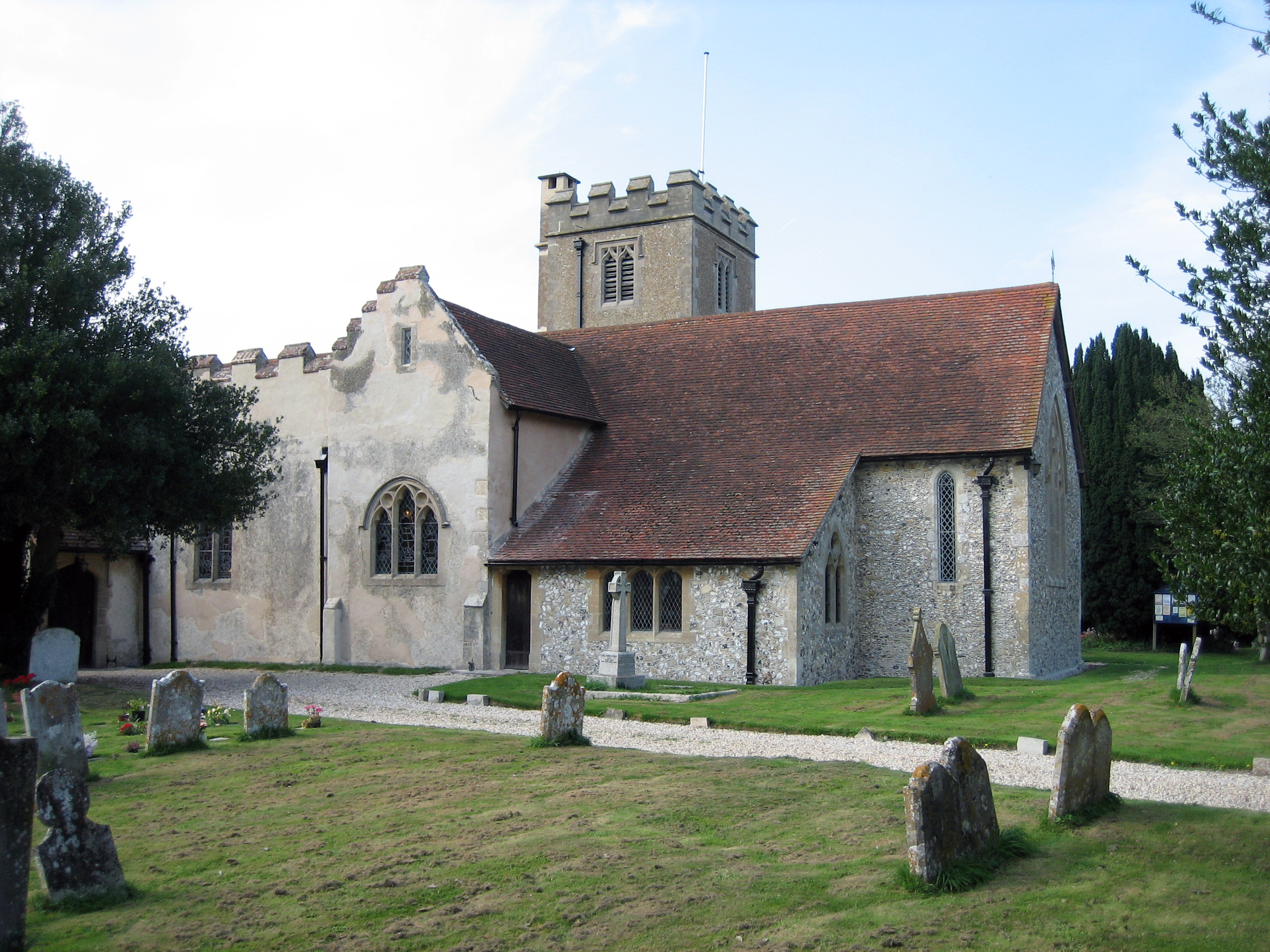 Church of St Mary | |
 Aldingbourne Location within West Sussex | |
| Area | 12.53 km2 (4.84 sq mi) [1] |
| Population | 3,819 (Civil Parish.2011)[2] |
| • Density | 305/km2 (790/sq mi) |
| OS grid reference | SU923054 |
| • London | 52 miles (84 km) NNE |
| Civil parish |
|
| District |
|
| Shire county |
|
| Region |
|
| Country | England |
| Sovereign state | United Kingdom |
| Post town | CHICHESTER |
| Postcode district | PO20 |
| Dialling code | 01243 |
| Police | Sussex |
| Fire | West Sussex |
| Ambulance | South East Coast |
| UK Parliament |
|
The civil parish, named after the small village of Aldingbourne, includes the much larger settlement of Westergate, as well as smaller settlements Norton, Nyton, Woodgate and Lidsey. The ecclesiastical parish extends to 3,060 acres (1,240 ha).[3]
Geography
The developed south and east of the parish is on fertile soil 7–15 metres above sea level, whereas north of the A27 road at the foot of the South Downs National Park the land reaches 37 metres in altitude. Eartham is the neighbouring parish to the north.
History
First documented in 683 AD as Aldingburne, then 200 years later as Ealdingburnan, the name describes a stream or bourne (now known as Aldingbourne Rife) belonging to Ealda, a Saxon settler.[4] The place is described in the Domesday Book (1086) as having 69 households (28 villagers, 38 smallholders and three slaves), and a value to the lord of the manor of £18.[5]
The Anglican parish church is dedicated to St Mary, and in 1861 had a population of 772.[3] According to Sussex Notes and Queries, the history of the church building "is not clear". Different parts of the church date from both the twelfth and thirteenth century, with the chancel having been built in the thirteenth century. Later additions include a porch dating from the seventeenth century and an organ chamber that was "wholly modern" in 1944.[6]
Economy
Agriculture occupies most of the land use and is a major employer. Other key industries include food and hospitality, general retail, the public sector, care, science and automotive-related careers.[7]
Education
Ormiston Six Villages Academy (OSVA) is the main secondary school for the parish and surrounding area. It was formerly called Westergate Community School.
Sports
The parish is home to Fontwell Park Racecourse, a venue in horse racing and Denmans Gardens which specialises in exotic and unusual plants. Fontwell Park has a compact figure-of-eight chase course and an oval hurdles course.
Notable people
Dick Seaman racing driver was born in the village 4 February 1913 [8]
References
- "2001 Census: West Sussex – Population by Parish" (PDF). West Sussex County Council. Archived from the original (PDF) on 8 June 2011. Retrieved 26 March 2009.
- Key Statistics; Quick Statistics: Population Density United Kingdom Census 2011 Office for National Statistics Retrieved 21 November 2013.
- "GENUKI: Aldingbourne, Sussex". Retrieved 16 June 2019.
- Glover, Judith (1997). Sussex Place Names: Their Origins and Meanings. Countryside Books. p. 9. ISBN 978-1-85306-484-5.
- "Open Domesday: Aldingbourne". Retrieved 16 June 2019.
- Sussex Notes and Queries, Vol. 10, Number 1, February 1944, p. 2
- "Aldingbourne Parish Council: About Aldingbourne". Retrieved 16 June 2019.
- "Dick Seaman races, wins and teams | Motorsport Database". Motor Sport Magazine. Retrieved 15 January 2022.
External links
 Media related to Aldingbourne at Wikimedia Commons
- Aldingbourne in the Domesday Book
- Aldingbourne Parish Council web site
Другой контент может иметь иную лицензию. Перед использованием материалов сайта WikiSort.org внимательно изучите правила лицензирования конкретных элементов наполнения сайта.
WikiSort.org - проект по пересортировке и дополнению контента Википедии