world.wikisort.org - Ukraine
Hnutove (Ukrainian: Гнутове; Russian: Гнутово) is a village in Donetsk Oblast of eastern Ukraine, at 23,2 km northeast from the centre of Mariupol.
Hnutove
Гнутове | |
|---|---|
Village | |
 Hnutove Location of Hnutove within Ukraine 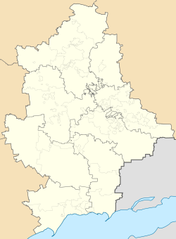 Hnutove Hnutove (Donetsk Oblast) | |
| Coordinates: 47°12′18″N 37°45′10″E | |
| Country | |
| Oblast (Province) | |
| Raion (District) | Mariupol Raion |
| Hromada | Sartana settlement hromada |
| Area | |
| • Total | 0.84 km2 (0.32 sq mi) |
| Elevation | 18 m (59 ft) |
| Population (1 January 2011) | |
| • Total | 699 |
| • Density | 830/km2 (2,200/sq mi) |
| Time zone | UTC+2 (EET) |
| • Summer (DST) | UTC+3 (EEST) |
| Postal code | 87594 |
| Area code | +380 629 |
The village is situated on the left bank of the Kalmius river that became the boundary between Donetsk People's Republic-controlled territory on the east bank of the river, and Ukrainian government-controlled territory on the west bank, after an offensive by the pro-Russian forces of the Donetsk People's Republic in August 2014 during the War in Donbas.[1] On 3 February 2022, the town was targeted by separatist artillery.
Demographics
| 1873 | 1989 | 2001 | 2011 |
|---|---|---|---|
| 179 | 665 | 813[2] | 699 |
References
- Kramer, Andrew E. (4 June 2014). "Hardening of Positions Undercuts Ukraine Peace Accord". New York Times. Retrieved 15 February 2016.
- Розподіл населення за рідною мовою на ukrcensus.gov.ua Archived 31 July 2014 at the Wayback Machine
This article about a location in Donetsk Oblast is a stub. You can help Wikipedia by expanding it. |
На других языках
- [en] Hnutove
[ru] Гнутово
Гнутово (укр. Гнутове) — село на Украине, находится в Мариупольском горсовете Донецкой области в 22 км к северо-востоку от центра Мариуполя и в 3 км от пгт Талаковки, к которому Гнутово подчинено административно на трассе «Мариуполь — Павлополь».Текст в блоке "Читать" взят с сайта "Википедия" и доступен по лицензии Creative Commons Attribution-ShareAlike; в отдельных случаях могут действовать дополнительные условия.
Другой контент может иметь иную лицензию. Перед использованием материалов сайта WikiSort.org внимательно изучите правила лицензирования конкретных элементов наполнения сайта.
Другой контент может иметь иную лицензию. Перед использованием материалов сайта WikiSort.org внимательно изучите правила лицензирования конкретных элементов наполнения сайта.
2019-2026
WikiSort.org - проект по пересортировке и дополнению контента Википедии
WikiSort.org - проект по пересортировке и дополнению контента Википедии