world.wikisort.org - Thailand
Pho Thong (Thai: โพธิ์ทอง, pronounced [pʰōː tʰɔ̄ːŋ]) is a district (amphoe) in the northern part of Ang Thong province, central Thailand.
 | This article does not cite any sources. (December 2009) |
Pho Thong
โพธิ์ทอง | |
|---|---|
District | |
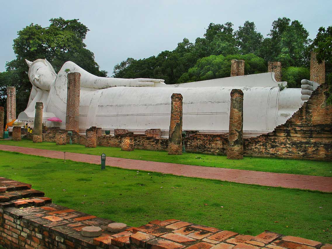 Wat Khun Inthapramun | |
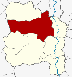 District location in Ang Thong province | |
| Coordinates: 14°40′1″N 100°24′29″E | |
| Country | Thailand |
| Province | Ang Thong |
| Area | |
| • Total | 219.4 km2 (84.7 sq mi) |
| Population (2000) | |
| • Total | 53,135 |
| • Density | 240/km2 (630/sq mi) |
| Time zone | UTC+7 (ICT) |
| Postal code | 14120 |
| Geocode | 1504 |
History
The district was established in 1890, at that time named Huai Ling Tok. Later the district name was changed to Pho Thong.
Geography
Neighboring districts are (from the north clockwise): Sawaeng Ha of Ang Thong Province; Tha Chang and Phrom Buri of Sing Buri province; Chaiyo, Mueang Ang Thong, Wiset Chai Chan and Samko of Ang Thong Province; and Si Prachan of Suphanburi province.
Administration
The district is divided into 15 sub-districts (tambons). There are two townships (thesaban tambons). Pho Thong covers parts of tambons Ang Kaeo, Inthapramun, and Bang Phlap, and Ram Masak covers parts of tambon Ram Masak.
| No. | Name | Thai |
|---|---|---|
| 1. | Ang Kaeo | อ่างแก้ว |
| 2. | Inthapramun | อินทประมูล |
| 3. | Bang Phlap | บางพลับ |
| 4. | Nong Mae Kai | หนองแม่ไก่ |
| 5. | Ram Ma Sak | รำมะสัก |
| 6. | Bang Rakam | บางระกำ |
| 7. | Pho Rang Nok | โพธิ์รังนก |
| 8. | Ongkharak | องครักษ์ |
| 9. | Khok Phutsa | โคกพุทรา |
| 10. | Yang Chai | ยางช้าย |
| 11. | Bo Rae | บ่อแร่ |
| 12. | Thang Phra | ทางพระ |
| 13. | Sam Ngam | สามง่าม |
| 14. | Bang Chao Cha | บางเจ้าฉ่า |
| 15. | Kham Yat | คำหยาด |
 | This Ang Thong Province location article is a stub. You can help Wikipedia by expanding it. |
Другой контент может иметь иную лицензию. Перед использованием материалов сайта WikiSort.org внимательно изучите правила лицензирования конкретных элементов наполнения сайта.
WikiSort.org - проект по пересортировке и дополнению контента Википедии