world.wikisort.org - Thailand
Long (Thai: ลอง, pronounced [lɔ̄ːŋ]) is a district (amphoe) in the western part of Phrae province, northern Thailand.
This article does not cite any sources. (December 2016) |
Long
ลอง | |
|---|---|
District | |
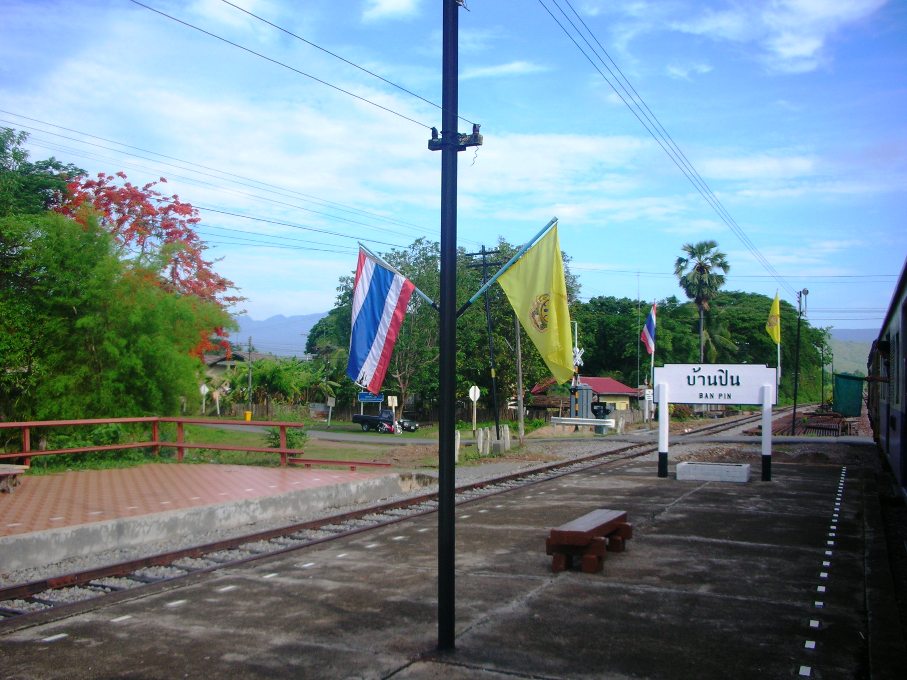 Ban Pin railway station with the Phi Pan Nam Range in the background | |
 District location in Phrae province | |
| Coordinates: 18°4′32″N 99°49′57″E | |
| Country | Thailand |
| Province | Phrae |
| Area | |
| • Total | 1,447.3 km2 (558.8 sq mi) |
| Population (2005) | |
| • Total | 57,940 |
| • Density | 40.0/km2 (104/sq mi) |
| Time zone | UTC+7 (ICT) |
| Postal code | 54150 |
| Geocode | 5403 |
Geography
Neighboring districts are (from the north clockwise) Song, Nong Muang Khai, Mueang Phrae, Sung Men, Den Chai, and Wang Chin of Phrae province; Mae Tha and Mae Mo of Lampang province.
The Phi Pan Nam Mountains dominate the landscape of the district. Doi Pha Klong National Park is in Long district.
Administration
The district is divided into nine sub-districts (tambons), which are further subdivided into 89 villages (mubans). There are two townships (thesaban tambons), Ban Pin and Huai O, both covering parts of the same-named tambon. There are a further nine tambon administrative organizations (TAO).
| No. | Name | Thai name | Villages | Pop. | |
|---|---|---|---|---|---|
| 1. | Huai O | ห้วยอ้อ | 18 | 12,596 | |
| 2. | Ban Pin | บ้านปิน | 13 | 8,018 | |
| 3. | Ta Pha Mok | ต้าผามอก | 8 | 4,793 | |
| 4. | Wiang Ta | เวียงต้า | 10 | 6,874 | |
| 5. | Pak Kang | ปากกาง | 9 | 4,455 | |
| 6. | Hua Thung | หัวทุ่ง | 9 | 6,154 | |
| 7. | Thung Laeng | ทุ่งแล้ง | 12 | 7,539 | |
| 8. | Bo Lek Long | บ่อเหล็กลอง | 8 | 4,321 | |
| 9. | Mae Pan | แม่ปาน | 7 | 3,190 |
External links
Districts of Phrae | ||
|---|---|---|
|  | |
This Phrae Province location article is a stub. You can help Wikipedia by expanding it. |
Другой контент может иметь иную лицензию. Перед использованием материалов сайта WikiSort.org внимательно изучите правила лицензирования конкретных элементов наполнения сайта.
WikiSort.org - проект по пересортировке и дополнению контента Википедии