world.wikisort.org - Syria
Shayta, also spelled Suhayta, S'heita or Su’heita, (Arabic: سحيتل) was a Syrian village located in the Golan Heights.[1] It was one of only six Syrian villages in the Golan Heights still populated following the Six-Day War.[2] After Israel occupied the area in 1967, Shayta's population census was 176 people, down from 200 in 1960.[3] In 1967, Shayta was partially destroyed and a military post built in its place.[2] Israel completely destroyed the village in 1971-72 and its population was forcibly transferred to the neighboring village of Mas'ade.[2][4] Today, its former inhabitants are still campaigning for the return to their village.[2] Shayta was located near the ceasefire line between Syrian and Israeli forces.[1][4]
Shayta
سحيتا | |
|---|---|
 Shayta The Golan on the map of Syria; Shayta on the map of the Golan | |
| Coordinates: 33°15′N 35°46′E | |
| Country | |
| Governorate | Quneitra |
| District | Quneitra District |
| Subdistrict | Mas'ade |
| Region | Golan Heights |
| Destroyed | 1971-72 |
| Elevation | 1,189 m (3,904 ft) |
See also
- Syrian towns and villages depopulated in the Arab-Israeli conflict
References
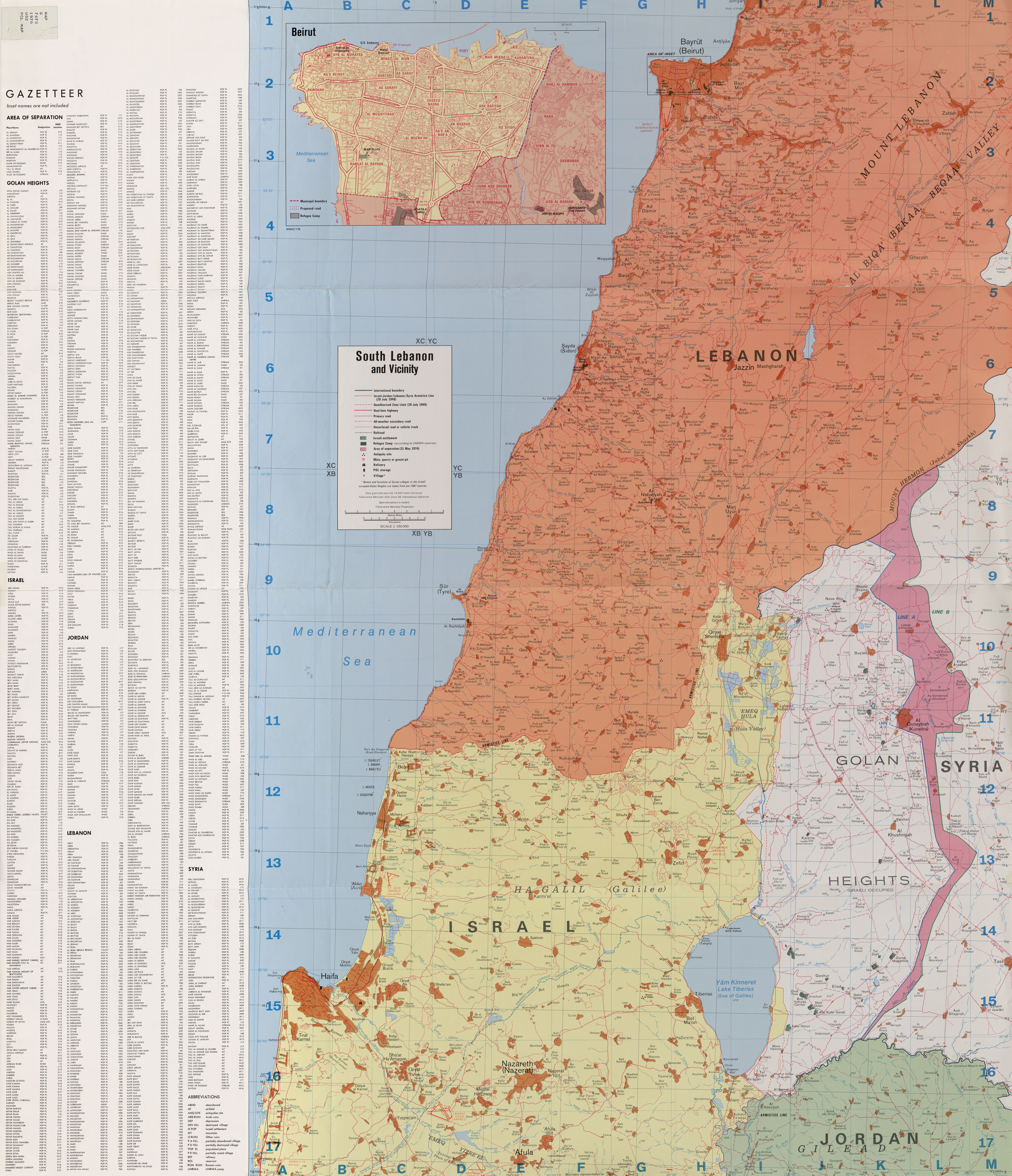
- South Lebanon and Vicinity 1976
- Murphy, Ray; Gannon, Declan (2008). "Changing the Landscape: Israel's Gross Violations of International Law in the Occupied Syrian Golan". Yearbook of International Humanitarian Law. Cambridge University Press. 11: 147.
- Davis, Uri (1983). "The Golan Heights under Israeli Occupation 1967 - 1981" (PDF). p. 5.
- Sakr Abu Fakhr, "Voices from the Golan", Journal of Palestine Studies, Vol. 29, No. 4 (Autumn, 2000), University of California Press, p. 7.
Quneitra Governorate | |||||||||
|---|---|---|---|---|---|---|---|---|---|
| Quneitra District |
| ||||||||
| Fiq District |
| ||||||||
| Syrian localities in Israeli-occupied Golan Heights |
| ||||||||
| Israeli settlements in the Israeli-occupied Golan Heights |
| ||||||||
Israeli settlements in italics were on the Mandatory Palestine side of the 1923 border. | |||||||||
Текст в блоке "Читать" взят с сайта "Википедия" и доступен по лицензии Creative Commons Attribution-ShareAlike; в отдельных случаях могут действовать дополнительные условия.
Другой контент может иметь иную лицензию. Перед использованием материалов сайта WikiSort.org внимательно изучите правила лицензирования конкретных элементов наполнения сайта.
Другой контент может иметь иную лицензию. Перед использованием материалов сайта WikiSort.org внимательно изучите правила лицензирования конкретных элементов наполнения сайта.
2019-2026
WikiSort.org - проект по пересортировке и дополнению контента Википедии
WikiSort.org - проект по пересортировке и дополнению контента Википедии