world.wikisort.org - Suriname
Houttuin è un comune (ressort) del Suriname di 10.227 abitanti.
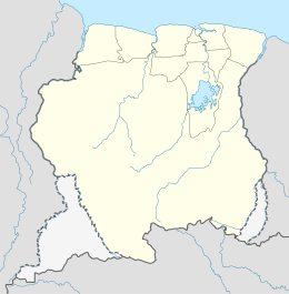
| Houttuin comune | |
|---|---|
| Localizzazione | |
| Stato | |
| Distretto | Wanica |
| Territorio | |
| Coordinate | 5°44′00.74″N 55°10′08.93″W |
| Superficie | 58 km² |
| Abitanti | 10 227 (2004) |
| Densità | 176,33 ab./km² |
| Altre informazioni | |
| Fuso orario | UTC-3 |
| Cartografia | |
 Houttuin | |
 | |
На других языках
[en] Houttuin
Houttuin is a resort in Suriname, located in the Wanica District. Its population at the 2012 census was 15,656. The largest ethnic group are the Indo-Surinamese.[1] The resort is named after the sugar plantation Houttuyn which was founded in 1737.[2] The resort was mainly agricultural,[3] and is planned to remain an agricultural centre.[4] In the early 21st century, it has seen a steady population growth, and is becoming suburban with housing projects like Tout Lui Faut [nl].[4]- [it] Houttuin
Текст в блоке "Читать" взят с сайта "Википедия" и доступен по лицензии Creative Commons Attribution-ShareAlike; в отдельных случаях могут действовать дополнительные условия.
Другой контент может иметь иную лицензию. Перед использованием материалов сайта WikiSort.org внимательно изучите правила лицензирования конкретных элементов наполнения сайта.
Другой контент может иметь иную лицензию. Перед использованием материалов сайта WikiSort.org внимательно изучите правила лицензирования конкретных элементов наполнения сайта.
2019-2025
WikiSort.org - проект по пересортировке и дополнению контента Википедии
WikiSort.org - проект по пересортировке и дополнению контента Википедии