world.wikisort.org - Suriname
Boven Coppename is a resort in Suriname, located in the Sipaliwini District. Its population at the 2012 census was 539.[1] The resort is mainly inhabited by indigenous people[2] of the Tiriyó, and Maroons of the Kwinti tribe.[3] The main village is Bitagron. Other villages include Corneliskondre and Donderskamp.
Boven Coppename | |
|---|---|
Resort | |
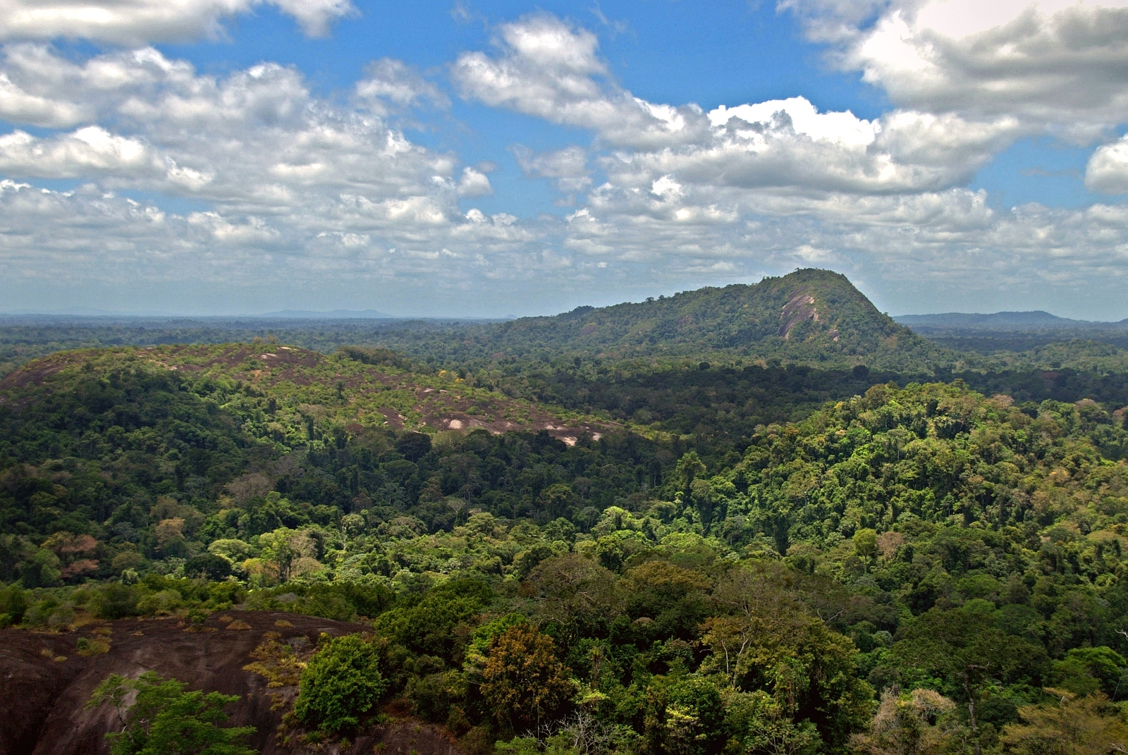 Van Stockumberg viewed from Mt. Voltzberg | |
 Map showing the resorts of Sipaliwini District. Boven Coppename | |
| Country | |
| District | Sipaliwini District |
| Area | |
| • Total | 15,839 km2 (6,115 sq mi) |
| Population (2012 census)[1] | |
| • Total | 539 |
| • Density | 0.034/km2 (0.088/sq mi) |
| Time zone | UTC-3 (AST) |
Nature
The area is covered with a high dry land forest and mist forests at high altitudes.[4] The resort is home to the Emma Range, a mountainous range located between the drainage basin of the Saramacca and the Coppename River.[5] The highest mountain in Suriname, Julianatop is located in Boven Coppename.[6]
References
- "Planning Office Suriname - Districts" (PDF). Planning Office Suriname (in Dutch). Retrieved 23 May 2020.
- "Resorts in Suriname Census 2012" (PDF). Retrieved 27 May 2020.
- Migge, Bettina; Léglise, Isabelle (2013). Exploring Language in a Multilingual Context: Variation, Interaction and Ideology in Language Documentation. New York: Cambridge University Press.
- "De natuurwetenschappelijke expeditie naar de emmaketen in Suriname, juli-oktober 1959". Naturalis (in Dutch). 1959. Retrieved 14 February 2021.
- "Militairen banen weg naar expeditie in Suriname". Haarlem's Dagblad via Delpher (in Dutch). 11 June 1959. Retrieved 14 February 2021.
- "Surinaamse vlag wappert op de Juliana Top". Waterkant (in Dutch). Retrieved 29 May 2020.
| Brokopondo District |
|  |
|---|---|---|
| Commewijne District |
| |
| Coronie District |
| |
| Marowijne District |
| |
| Nickerie District |
| |
| Para District |
| |
| Paramaribo District |
| |
| Saramacca District |
| |
| Sipaliwini District |
| |
| Wanica District |
| |
This Suriname location article is a stub. You can help Wikipedia by expanding it. |
Текст в блоке "Читать" взят с сайта "Википедия" и доступен по лицензии Creative Commons Attribution-ShareAlike; в отдельных случаях могут действовать дополнительные условия.
Другой контент может иметь иную лицензию. Перед использованием материалов сайта WikiSort.org внимательно изучите правила лицензирования конкретных элементов наполнения сайта.
Другой контент может иметь иную лицензию. Перед использованием материалов сайта WikiSort.org внимательно изучите правила лицензирования конкретных элементов наполнения сайта.
2019-2026
WikiSort.org - проект по пересортировке и дополнению контента Википедии
WikiSort.org - проект по пересортировке и дополнению контента Википедии