world.wikisort.org - Espagne
Herreruela est une commune de la province de Cáceres dans la communauté autonome d'Estrémadure en Espagne.
| Herreruela | |||
 Héraldique |
 Drapeau |
||
| Administration | |||
|---|---|---|---|
| Pays | |||
| Communauté autonome | Estrémadure | ||
| Province | Cáceres | ||
| Code postal | 10560 | ||
| Démographie | |||
| Population | 329 hab. () | ||
| Densité | 2,9 hab./km2 | ||
| Géographie | |||
| Coordonnées | 39° 27′ 47″ nord, 6° 54′ 23″ ouest | ||
| Altitude | 315 m |
||
| Superficie | 11 372 ha = 113,72 km2 | ||
| Localisation | |||
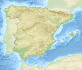
| Géolocalisation sur la carte : Espagne
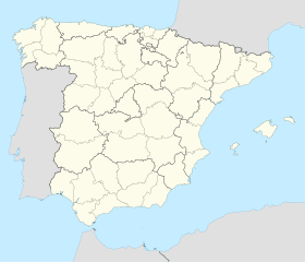
Géolocalisation sur la carte : Espagne
| |||
| modifier |
|||
Géographie
Histoire
Administration
Économie
Culture et patrimoine
Notes et références
- Portail de l’Estrémadure
На других языках
[en] Herreruela
Herreruela is a municipality located in the province of Cáceres, Extremadura, Spain. According to the 2006 census (INE), the municipality has a population of 397 inhabitants.[es] Herreruela
Herreruela es un pueblo y municipio español, en la provincia de Cáceres, Comunidad Autónoma de Extremadura. Pertenece al partido judicial de Valencia de Alcántara y a la mancomunidad de la Sierra de San Pedro.- [fr] Herreruela
[ru] Эрреруэла
Эрреруэла (исп. Herreruela) — муниципалитет в Испании, входит в провинцию Касерес в составе автономного сообщества Эстремадура. Занимает площадь 113,72 км². Население — 378 человек (на 2010 год).Текст в блоке "Читать" взят с сайта "Википедия" и доступен по лицензии Creative Commons Attribution-ShareAlike; в отдельных случаях могут действовать дополнительные условия.
Другой контент может иметь иную лицензию. Перед использованием материалов сайта WikiSort.org внимательно изучите правила лицензирования конкретных элементов наполнения сайта.
Другой контент может иметь иную лицензию. Перед использованием материалов сайта WikiSort.org внимательно изучите правила лицензирования конкретных элементов наполнения сайта.
2019-2025
WikiSort.org - проект по пересортировке и дополнению контента Википедии
WikiSort.org - проект по пересортировке и дополнению контента Википедии

