world.wikisort.org - Espagne
Galapagar est une commune de la Communauté de Madrid, en Espagne. Elle est située au nord de la ville de Madrid.
| Galapagar | |||
 Héraldique |
 Drapeau |
||
| Administration | |||
|---|---|---|---|
| Pays | |||
| Communauté autonome | |||
| Code postal | 28260 | ||
| Démographie | |||
| Population | 34 712 hab. () | ||
| Densité | 534 hab./km2 | ||
| Géographie | |||
| Coordonnées | 40° 34′ 35″ nord, 4° 00′ 07″ ouest | ||
| Altitude | 890 m |
||
| Superficie | 6 500 ha = 65 km2 | ||
| Localisation | |||
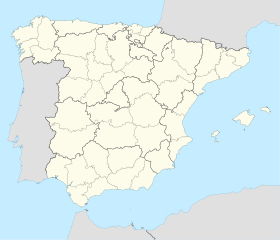
| Géolocalisation sur la carte : Espagne
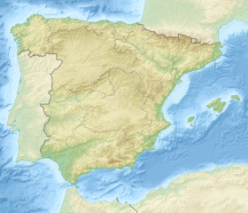
Géolocalisation sur la carte : Espagne
| |||
| modifier |
|||
Voir aussi
- Liste des communes de la communauté de Madrid
- Portail de Madrid et sa communauté
На других языках
[de] Galapagar
Galapagar ist eine zentralspanische Stadt und eine Berggemeinde (municipio) mit 33.742 Einwohnern (Stand: 1. Januar 2019) im Nordwesten der Autonomen Gemeinschaft Madrid. Der Ortsname kommt von einer angeblich in früheren Zeiten in der Nähe lebenden Kolonie von Schildkröten (galapagos, Stadtwappen).[en] Galapagar
Galapagar is a town and municipality northwest of Madrid, Spain, situated in the autonomous community of the Community of Madrid. Of all the towns in the area, it was experiencing the most growth, mostly because of immigration and the conversion of old livestock fields into terrain for construction.[es] Galapagar
Galapagar es un municipio del noroeste de la Comunidad de Madrid (España), a 33 kilómetros de la capital de España. Se extiende sobre una superficie de 65 km². Limita con Collado Villalba, Colmenarejo, Torrelodones, Las Rozas de Madrid, El Escorial, San Lorenzo de El Escorial, Villanueva del Pardillo, Hoyo de Manzanares, Moralzarzal y Guadarrama.- [fr] Galapagar
[ru] Галапагар
Галапагар (исп. Galapagar) — город и одноимённый муниципалитет в Испании, входит в провинцию Мадрид в составе автономного сообщества Мадрид. Муниципалитет находится в составе района (комарки) Куэнка-дель-Гвадаррама. Занимает площадь 65 км². Население 32393 человека (на 2010 год). Расстояние до административного центра провинции — 33 км.Текст в блоке "Читать" взят с сайта "Википедия" и доступен по лицензии Creative Commons Attribution-ShareAlike; в отдельных случаях могут действовать дополнительные условия.
Другой контент может иметь иную лицензию. Перед использованием материалов сайта WikiSort.org внимательно изучите правила лицензирования конкретных элементов наполнения сайта.
Другой контент может иметь иную лицензию. Перед использованием материалов сайта WikiSort.org внимательно изучите правила лицензирования конкретных элементов наполнения сайта.
2019-2025
WikiSort.org - проект по пересортировке и дополнению контента Википедии
WikiSort.org - проект по пересортировке и дополнению контента Википедии

