world.wikisort.org - Spain
Val de San Vicente is a municipality located in the autonomous community of Cantabria, Spain.
Val de San Vicente | |
|---|---|
 Flag  Seal | |
| Country | Spain |
| Autonomous community | Cantabria |
| Area | |
| • Total | 50.9 km2 (19.7 sq mi) |
| Elevation | 50 m (160 ft) |
| Population (2018)[1] | |
| • Total | 2,772 |
| • Density | 54/km2 (140/sq mi) |
| Time zone | UTC+1 (CET) |
| • Summer (DST) | UTC+2 (CEST) |
| Website | www.aytovaldesanvicente.com |
This article may be expanded with text translated from the corresponding article in Spanish. (December 2014) Click [show] for important translation instructions.
|
Geography
Val de San Vicente is the westernmost municipality of the Cantabrian coast. Its border to the north is the Bay of Biscay, to the west the Asturian council of Ribadedeva, to the south Herrerías and to the east San Vicente de la Barquera.
The town is located at the mouth of the Deva and Nansa rivers, which empty their waters into the sea in the Tina Mayor and Tina Menor estuaries respectively.
Economy, transportation
The main economic activity results from tourism due to the area´s great scenic value. municipality's other source of income on the other hand is the food industry with "corbatas", a traditional puff pastry shaped like "bowties" in Unquera or San Vicente de la Barquera. Depending on the area within Cantabria, the pastry is known by a different name, like "polkas" in Torrelavega and "sacristanes" in Liérganes.[2]
The town is crossed by the Cantabrian Highway and served by the FEVE Santander-Oviedo railway line. On the other hand, in Unquera the main road originates, which connects the region of Liébana with the coast and the rest of Cantabria.
During the Old Regime, the town belonged to the Marquises of Aguilar de Campoo as a manor.
History
In April 1973 it was announced that "Electra de Viesgo" was going to build the nuclear power plant of Santillán, with four units at a power of four million kilowatts, and an initial cost calculated at 80,000 million pesetas.[3] The company acquired 71.6 hectares of land, the equivalent of 71 soccer fields, in a coastal strip which covered the surface of the municipalities of San Vicente de la Barquera and Val de San Vicente, next to the cove of the beach of La Fuente; on the cliffs of Santillán-Boria a ditch was constructed to carry out the preliminary surveys for the construction of the nuclear power plant.[4] It was scheduled to begin to produce power in 1982, with an output of 970 megawatts.[5] Finally, due to political and social opposition from Cantabria and Asturias, the power company abandoned the project.[6]
Demographics
| 1900 | 1910 | 1920 | 1930 | 1940 | 1950 | 1960 | 1970 | 1980 | 1990 | 2000 | 2006 | 2011 |
|---|---|---|---|---|---|---|---|---|---|---|---|---|
| 2.570 | 2.749 | 2.575 | 2.641 | 2.892 | 3.026 | 3.081 | 2.777 | 2.408 | 2.621 | 2.560 | 2.670 | 2.846 |
Source: Instituto Nacional de Estadística (España) (INE)
Locations
Its 2.670 inhabitant per the Instituto Nacional de Estadística (España) (INE) census from 2006 lived in:
- Abanillas, 81 inhabitants
- Estrada, 22 inhabitants
- Helgueras, 74 inhabitants
- Luey, 179 inhabitants
- Molleda, 187 inhabitants
- Muñorrodero, 95 inhabitants
- Pechón, 215 inhabitants.
- Pesués (Capital), 376inhabitants
- Portillo, 78 inhabitants
- Prellezo, 212 inhabitants
- Prío, 85 inhabitants
- San Pedro de las Baheras, 63 inhabitants
- Serdio, 184 inhabitants
- Unquera, 819 inhabitants
Administration
As of 2015, Roberto Escobedo from the Partido Socialista de Cantabria(PSC-PSOE) has been the mayor of the municipality, succeeding Miguel González Vega, who had resigned in March 2012 because he was elected senator in the 2011 national elections. The following tables show the results of the Elections in Spain held in the year 2003 and 2007.[7] In the elections of 2011, the PSOE was again the winner with 55.6% of the votes and 7 councilors. The PP received 3 council seats and the PRC one.
Heritage
The municipality includes the following sites of cultural interest:
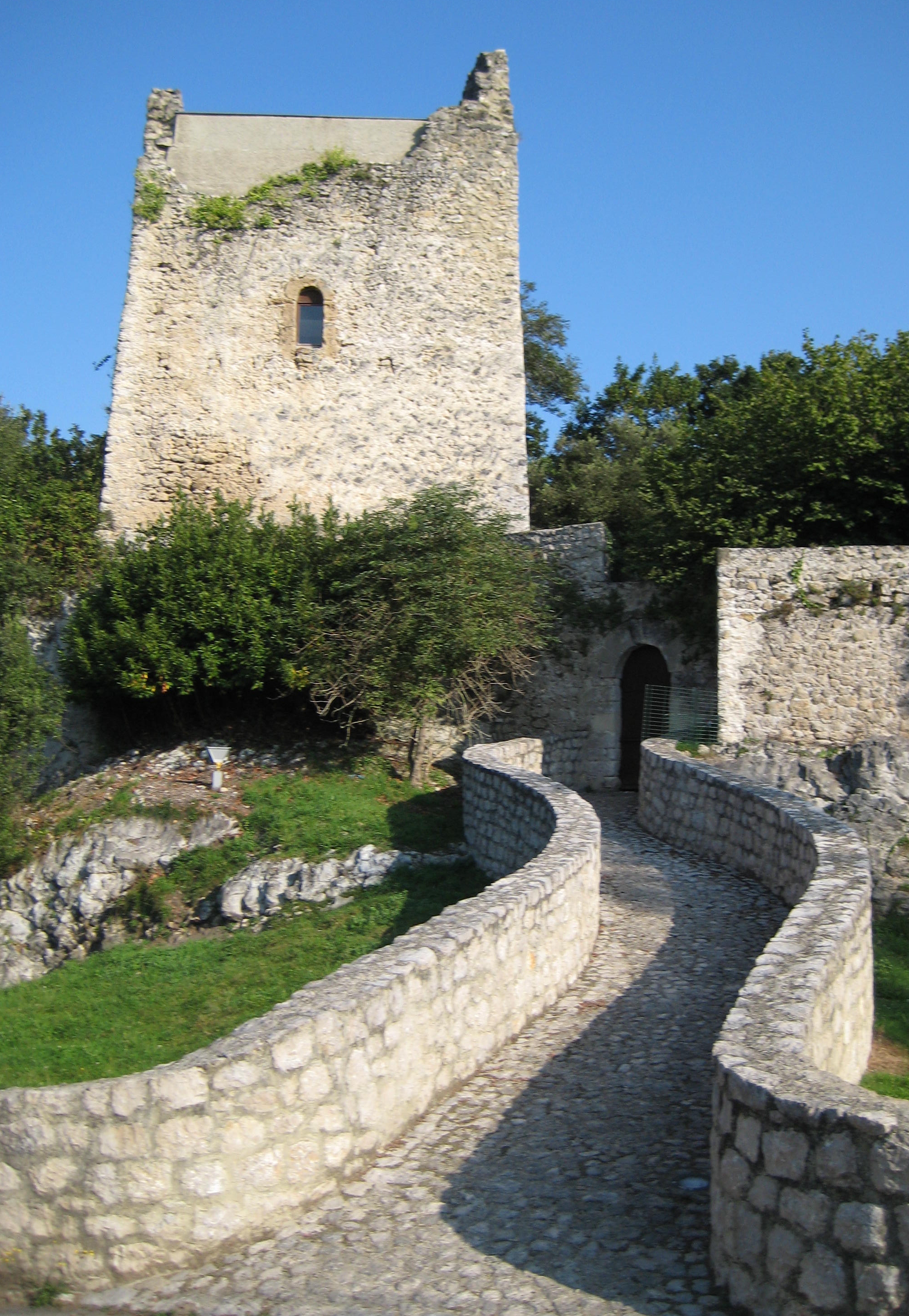
- The 'Torre de Estrada', in Estrada, , a monument.
- 'Cueva de la Fuente del Salín,' in Muñorrodero, an archaeological site.
- The Castro de Castillo,' in Prellezo, an archaeological site.[8]
- 'Ruta Lebaniega', which links the Camino de Santiago of the coast with the Camino Francés - connecting, apart from this municipality, those of San Vicente de la Barquera, Herrerias, Lamasón, Cillorigo de Liébana, Potes, Cabezón de Liébana, Camaleño and Vega de Liébana.
In addition, the 'ruins of the old medieval church of the cemetery'in Portillo are a site of local interest.
References
- Municipal Register of Spain 2018. National Statistics Institute.
- Lisa & Tony Sierra Corbatas de Unquera Pastries Recipe 17 September 2017, accessed 20 July 2018
- ABC (18 April 1973). "Una central nuclear de cuatro unidades será construida en la costa santanderina". Retrieved 23 October 2012.
- La Nueva España (6 February 2010). "La central nuclear que nunca llegó". Retrieved 22 October 2012.
- El País (5 January 1977). "La empresa General Electric". Retrieved 22 October 2012.
- El País (20 January 1983). "Polémica ante el proyecto de construir una central nuclear en San Vicente de la Barquera". Retrieved 21 October 2012.
- Resultados electorales de Val de San Vicente, 12 December 2006, ElPaís
- DECRETO 39/2004, de 29 de abril, por el que se declara bien de interés cultural, con la categoría de yacimiento arqueológico, a favor del «Castro del Castillo», en Prellezo, (Val de San Vicente) Agencia Estatal Boletín Oficial del Estado, 29 April 2004
Municipalities of Cantabria | ||
|---|---|---|
| ||
Authority control | |
|---|---|
| General |
|
| National libraries | |
На других языках
- [en] Val de San Vicente
[es] Val de San Vicente
Val de San Vicente es un municipio de la comunidad autónoma de Cantabria, España. Limita al norte con el Mar Cantábrico, al oeste con el concejo asturiano de Ribadedeva, al sur con Herrerías y al este con San Vicente de la Barquera.[ru] Валь-де-Сан-Висенте
Валь-де-Сан-Висенте (исп. Val de San Vicente) — муниципалитет в Испании, входит в провинцию Кантабрия в составе автономного сообщества Кантабрия. Муниципалитет находится в составе района (комарки) Коста-Оксиденталь. Занимает площадь 50,9 км². Население — 2814 человек (на 2010 год).Другой контент может иметь иную лицензию. Перед использованием материалов сайта WikiSort.org внимательно изучите правила лицензирования конкретных элементов наполнения сайта.
WikiSort.org - проект по пересортировке и дополнению контента Википедии