world.wikisort.org - Spain
Pontedeume (Galician pronunciation: [ˌponteˈðewmɪ]) is a municipality in the province of A Coruña in the autonomous community of Galicia in northwestern Spain.
Pontedeume | |
|---|---|
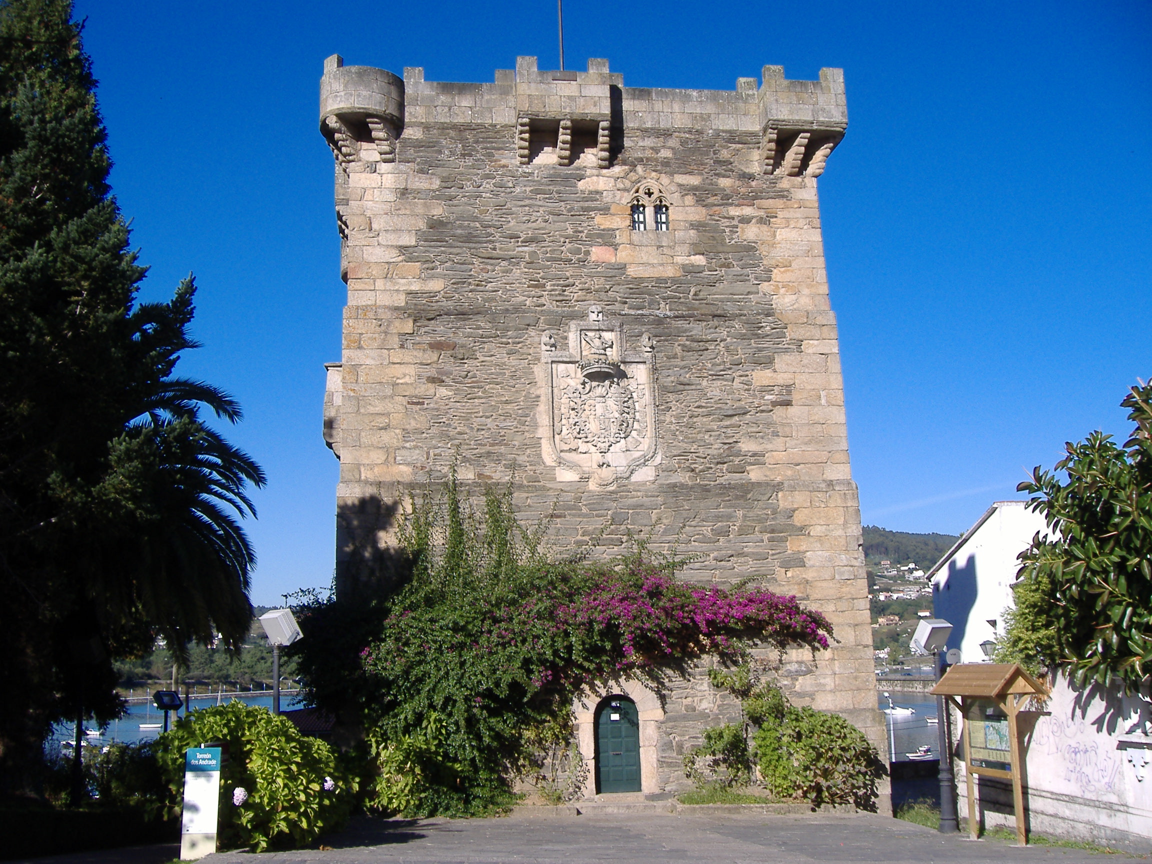 Torreón dos Andrade | |
 Flag  Seal | |
 Pontedeume Location in Spain | |
| Coordinates: 43°24′45″N 08°10′13″W | |
| Country | Spain |
| Autonomous community | Galicia |
| Province | A Coruña |
| Comarca | Eume |
| Government | |
| • Mayor | Bernardo Fernández |
| Area | |
| • Total | 29.26 km2 (11.30 sq mi) |
| Population (2018)[1] | |
| • Total | 7,884 |
| • Density | 270/km2 (700/sq mi) |
| Time zone | UTC+1 (CET) |
| • Summer (DST) | UTC+2 (CEST) |
| Website | Official website |
The town was founded ex novo by the town charter of Alfonso X the Wise in 1270. The town is located on the English Way path of the Camino de Santiago.
Industry
Farming and services are the main economic activities, though from the late 1950s, and particularly from the mid 1970s, Pontedeume has developed into a coastal resort.
Geography
Parishes
Pontedeume is divided into 8 parishes: Andrade (San Martiño), Boebre (Santiago), Breamo (San Miguel), Centroña (Santa María), Nogueirosa (San Cosme), Ombre (Santa María), Pontedeume (Santiago) and Vilar (San Pedro).
Demography
In 1868 and from 1877 to 1890 the territory of Vilarmaior was a part of the municipality of Pontedeume. This explains the pronounced fall in the population between 1877 and 1900.
|
| ||||||||||||||||||||||||||||||||||||||||||||||||
| INE Archiv | |||||||||||||||||||||||||||||||||||||||||||||||||
Notable people
- Fátima Rodríguez (b. 1961), Spanish writer, translator
References
- Municipal Register of Spain 2018. National Statistics Institute.
City Councils of the three Regions of Ferrolterra | ||
|---|---|---|
| Ferrol |  | |
| Eume | ||
| Ortegal |
| |
Municipalities of the province of A Coruña | ||
|---|---|---|
| ||
Authority control | |
|---|---|
| General | |
| National libraries | |
This article about a location in the autonomous community of Galicia, Spain is a stub. You can help Wikipedia by expanding it. |
На других языках
- [en] Pontedeume
[ru] Пуэнтедеуме
Пуэнтедеуме (исп. Puentedeume), официальное название на галисийском Понтедеуме (галис. Pontedeume) — муниципалитет в Испании, входит в провинцию Ла-Корунья в составе автономного сообщества Галисия. Муниципалитет находится в составе района (комарки) Эуме. Занимает площадь 29,26 км². Население — 8370 человек (на 2010 год).Другой контент может иметь иную лицензию. Перед использованием материалов сайта WikiSort.org внимательно изучите правила лицензирования конкретных элементов наполнения сайта.
WikiSort.org - проект по пересортировке и дополнению контента Википедии