world.wikisort.org - Sudafrica
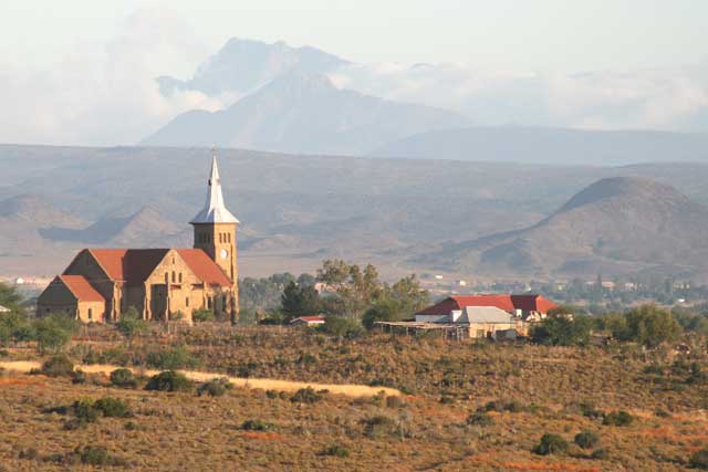
De Hoop è un centro abitato sudafricano situato nella municipalità distrettuale di Eden nella provincia del Capo Occidentale.
| De Hoop città | |
|---|---|
 | |
| Localizzazione | |
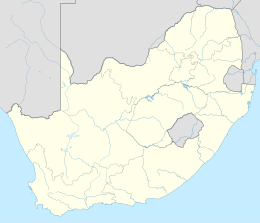
| Stato | |
| Provincia | Capo Occidentale |
| Distretto | Eden |
| Municipalità locale | Oudtshoorn |
| Territorio | |
| Coordinate | 33°36′25.2″S 22°02′42″E |
| Superficie | 12,45[1] km² |
| Abitanti | 12 544[2] (2011) |
| Densità | 1 007,55 ab./km² |
| Altre informazioni | |
| Prefisso | 044 |
| Fuso orario | UTC+2 |
| Cartografia | |
 De Hoop | |
Geografia fisica
Il piccolo centro abitato sorge lungo il corso del fiume Olifants a circa 15 chilometri a ovest della cittadina di Oudtshoorn.
Note
Altri progetti
 Wikimedia Commons contiene immagini o altri file su De Hoop
На других языках
[en] De Hoop, Western Cape
De Hoop is a town in Oudtshoorn Local Municipality in the Western Cape province of South Africa.- [it] De Hoop
Текст в блоке "Читать" взят с сайта "Википедия" и доступен по лицензии Creative Commons Attribution-ShareAlike; в отдельных случаях могут действовать дополнительные условия.
Другой контент может иметь иную лицензию. Перед использованием материалов сайта WikiSort.org внимательно изучите правила лицензирования конкретных элементов наполнения сайта.
Другой контент может иметь иную лицензию. Перед использованием материалов сайта WikiSort.org внимательно изучите правила лицензирования конкретных элементов наполнения сайта.
2019-2025
WikiSort.org - проект по пересортировке и дополнению контента Википедии
WikiSort.org - проект по пересортировке и дополнению контента Википедии