world.wikisort.org - South_Africa
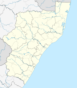
Umbumbulu is a town in the EThekwini Metropolitan Municipality in the KwaZulu-Natal province of South Africa.
Umbumbulu | |
|---|---|
 Village center | |
  Umbumbulu 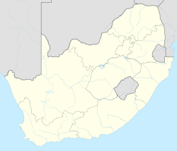 Umbumbulu | |
| Coordinates: 29.984°S 30.702°E | |
| Country | South Africa |
| Province | KwaZulu-Natal |
| Municipality | eThekwini |
| Area | |
| • Total | 23.2 km2 (9.0 sq mi) |
| Population (2011)[1] | |
| • Total | 2,684 |
| • Density | 120/km2 (300/sq mi) |
| Racial makeup (2011) | |
| • Black African | 98.7% |
| • Coloured | 0.07% |
| • Indian/Asian | 0.1% |
| • White | 0.5% |
| • Other | 0.5% |
| First languages (2011) | |
| • Zulu | 93.4% |
| • English | 1.6% |
| • Other | 5% |
| Time zone | UTC+2 (SAST) |
| PO box | 4105 |
| Area code | 031 |
The township lies near the junction of Highway M30 and R603 about 45 km south-west of Durban and 19 km from the Indian Ocean. Derived from Zulu, the name is said to mean place of the round knoll.[2] Umbumbulu is a rural area, bordered by Madundube on the north-east, and the farming community of Mid-Illovo on the south. In the 1970s and 1980s it was a scene of a local conflict, which saw hundreds murdered, and thousands dislocated. It has since become a picture of serene rural living.
The main river running through Umbumbulu is the Ntinyane River, and it is infamous as the site where a clergyman was swept away by the floods in the 1980s, his body never retrieved to this day.
References
- Mainplace Umbumbulu from Census 2011.
- "Dictionary of Southern African Place Names (Public Domain)". Human Science Research Council. p. 444.
Communities of eThekwini Metropolitan Municipality, KwaZulu-Natal | |||||||||
|---|---|---|---|---|---|---|---|---|---|
Seat: Durban | |||||||||
| Cities and towns |
|  | |||||||
| Suburbs of Durban |
| ||||||||
 | This KwaZulu-Natal location article is a stub. You can help Wikipedia by expanding it. |
Другой контент может иметь иную лицензию. Перед использованием материалов сайта WikiSort.org внимательно изучите правила лицензирования конкретных элементов наполнения сайта.
WikiSort.org - проект по пересортировке и дополнению контента Википедии