world.wikisort.org - South_Africa
Trompsburg is a town in the Free State province of South Africa off the N1 highway, the major road connection between Johannesburg and Cape Town.
Trompsburg | |
|---|---|
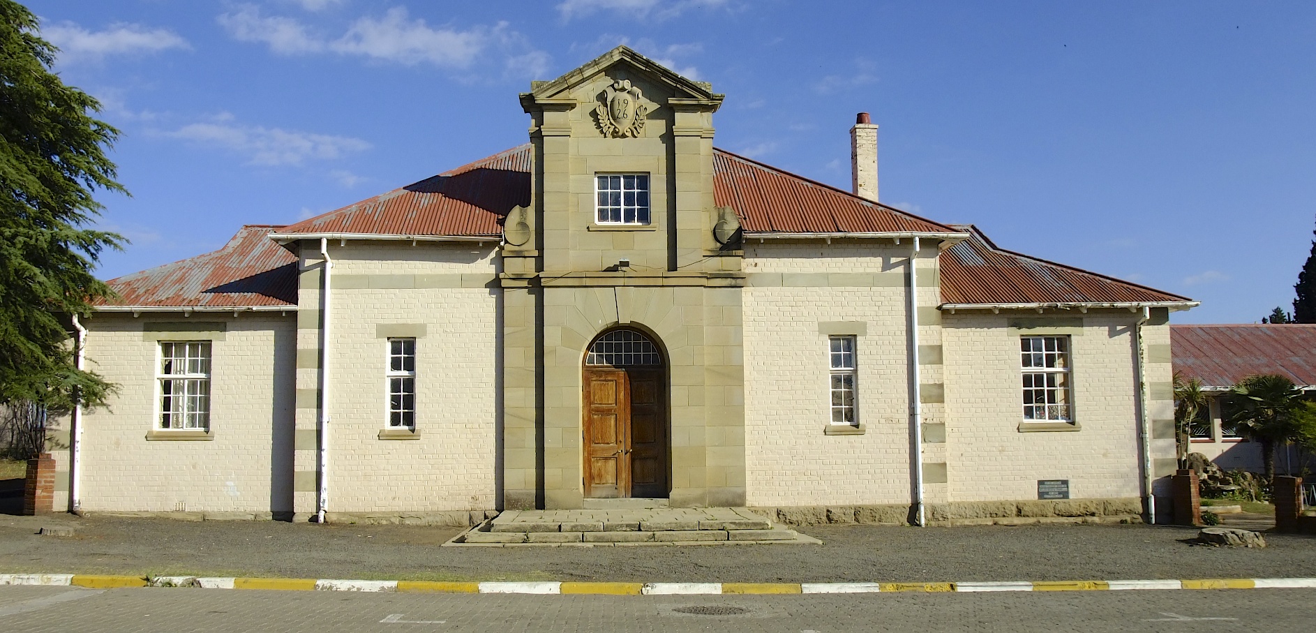 Trompsburg town hall | |
 Trompsburg  Trompsburg | |
| Coordinates: 30°1′S 25°46′E | |
| Country | South Africa |
| Province | Free State |
| District | Xhariep |
| Municipality | Kopanong |
| Government | |
| • Type | Municipality |
| • Mayor | Xolani Tseletsele [1] (ANC) |
| Area | |
| • Total | 16.2 km2 (6.3 sq mi) |
| Population (2011)[2] | |
| • Total | 5,338 |
| • Density | 330/km2 (850/sq mi) |
| Racial makeup (2011) | |
| • Black African | 70.2% |
| • Coloured | 22.1% |
| • Indian/Asian | 0.5% |
| • White | 6.6% |
| • Other | 0.6% |
| First languages (2011) | |
| • Sotho | 41.3% |
| • Afrikaans | 35.7% |
| • Xhosa | 15.7% |
| • English | 1.8% |
| • Other | 5.5% |
| Time zone | UTC+2 (SAST) |
| Postal code (street) | 9913 |
| PO box | 9913 |
| Area code | 051 |
Background
The town is 120 km south-west of Bloemfontein and 56 km north-east of Philippolis. It was laid out in 1891 on the farm Middelwater and attained municipal status in 1902. Named after the owners of the farm, Jan and Bastiaan Tromp.[3]: 352 It was at first called Jagersfontein Road, then Hamilton, in honour of Sir Hamilton John Goold-Adams (1858–1920), Lieutenant-Governor of the Orange River Colony from 1901 to 1910.[4]
References
- Free State Tourism.org Archived 2014-01-06 at the Wayback Machine
- Sum of the Main Places Madikgetla and Trompsburg from Census 2011.
- Conolly, Denis (1975). The Tourist in South Africa. Travel-Guide (PTY) LTD. ASIN B0000E7XZN.
- "Dictionary of Southern African Place Names (Public Domain)". Human Science Research Council. p. 438.
Places adjacent to Trompsburg | ||||||||||||||||
|---|---|---|---|---|---|---|---|---|---|---|---|---|---|---|---|---|
| ||||||||||||||||
Municipalities and communities of Xhariep District Municipality, Free State | ||
|---|---|---|
District seat: Trompsburg | ||
| Kopanong |
|  |
| Letsemeng |
| |
| Mohokare |
| |
| Naledi | ||
Текст в блоке "Читать" взят с сайта "Википедия" и доступен по лицензии Creative Commons Attribution-ShareAlike; в отдельных случаях могут действовать дополнительные условия.
Другой контент может иметь иную лицензию. Перед использованием материалов сайта WikiSort.org внимательно изучите правила лицензирования конкретных элементов наполнения сайта.
Другой контент может иметь иную лицензию. Перед использованием материалов сайта WikiSort.org внимательно изучите правила лицензирования конкретных элементов наполнения сайта.
2019-2025
WikiSort.org - проект по пересортировке и дополнению контента Википедии
WikiSort.org - проект по пересортировке и дополнению контента Википедии