world.wikisort.org - South_Africa
Phalaborwa (translated to English as better than the south; phala means better than and borwa means south) is a town in the Mopani District Municipality, Limpopo province, South Africa. It is located near the confluence of the Ga-Selati River and the Olifants, halfway up along the western border of the Kruger National Park in the Lowveld.
Phalaborwa | |
|---|---|
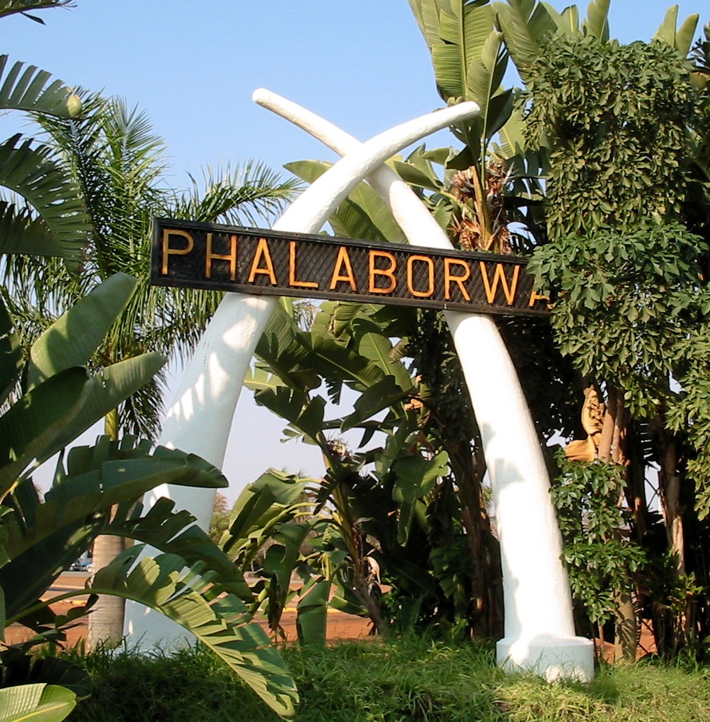 The entrance sign to Phalaborwa | |
 Phalaborwa  Phalaborwa | |
| Coordinates: 23°56′S 31°7′E | |
| Country | South Africa |
| Province | Limpopo |
| District | Mopani |
| Municipality | Ba-Phalaborwa |
| Area | |
| • Total | 193.33 km2 (74.65 sq mi) |
| Elevation | 437 m (1,434 ft) |
| Population (2011)[1] | |
| • Total | 13,108 |
| • Density | 68/km2 (180/sq mi) |
| Racial makeup (2011) | |
| • Black African | 56.8% |
| • Coloured | 1.9% |
| • Indian/Asian | 1.5% |
| • White | 39.4% |
| • Other | 0.4% |
| First languages (2011) | |
| • Afrikaans | 15.10% |
| • English | 11.1% |
| • Tsonga | 10.1% |
| • Northern Sotho | 51.7% |
| • Other | 12.0% |
| Time zone | UTC+2 (SAST) |
| Postal code (street) | 1389 |
| PO box | 1390 |
| Area code | 015 |
| Website | Phalaborwa trade and tourism |
Name
The name "Ba-Phalaborwa", given to the area by the Sotho tribes who moved here from the south, means "better than the south". The Sotho mined and smelted copper and iron ore here as far back as 400 AD. Masorini, near Phalaborwa gate, is a reconstructed Ba-Phalaborwa hill village, with huts, grain storage areas, and an iron smelting site.
Surrounding townships
There are two townships, Namakgale and Lulekani where the Pedi and Tsonga reside, and rural areas such as Mashishimale, Humulani, Kurhula (Matshama Hi Nkano), Ben Farm (Majeje), Makushane and Ga-Maseke.Ga-selwane.majeje 3 and prieska
Mining
Phalaborwa began as a mining town and still is home to Palabora Mining. The massive open pit mine, nearly 2,000 meters across, is Africa's widest manmade hole.[2]
Tourism
Tourism and wildlife play a dominant role in the life of this town. It is the only town in South Africa that borders the Kruger National Park, the Mozambiquan border is only two hours drive away. Lately, with the incorporation of various private game reserves into the conservancy area, Phalaborwa is all but enclaved by nature conservancies. The Hans Merensky Golf Estate is situated on the outskirts of the town.[3]
Nearby natural attractions are Blyde River Canyon, the Three Rondavels, God's Window and Bourke's Luck Potholes; the Tzaneen fruit farms and Hoedspruit game farms can all be visited within a day.
Transport
Air
Phalaborwa Airport is a commercial airport serving the town.
Notable people
- Tshepo Mangena: cricketer
- Rivoningo Mhlari: businessman
- Dale Steyn: South African cricketer
- Daniel Mminele: South African banker and corporate executive
- Ryan Coetzee: Swimmer who won a bronze medal at the 2018 Commonwealth Games
Climate
This area, also known as the Valley of the Olifants, has the highest winter temperatures in South Africa. The rainfall is low and the average winter temperatures range from 9 °C to 26 °C. During summer the average temperatures vary from 20 °C to 33 °C with occasional heavy rainfall. The highest recorded temperature was 50 °C in December 2018.[4]
| Climate data for Phalaborwa | |||||||||||||
|---|---|---|---|---|---|---|---|---|---|---|---|---|---|
| Month | Jan | Feb | Mar | Apr | May | Jun | Jul | Aug | Sep | Oct | Nov | Dec | Year |
| Average high °C (°F) | 34 (93) |
33 (91) |
32 (90) |
30 (86) |
29 (84) |
27 (81) |
26 (79) |
28 (82) |
31 (88) |
32 (90) |
32 (90) |
33 (91) |
33 (91) |
| Daily mean °C (°F) | 26.5 (79.7) |
26 (79) |
25 (77) |
23 (73) |
20 (68) |
18 (64) |
17.5 (63.5) |
19 (66) |
22 (72) |
23 (73) |
24 (75) |
26 (79) |
22 (72) |
| Average low °C (°F) | 21 (70) |
21 (70) |
20 (68) |
17 (63) |
12 (54) |
10 (50) |
9 (48) |
11 (52) |
14 (57) |
17 (63) |
19 (66) |
21 (70) |
16 (61) |
| Average precipitation mm (inches) | 97 (3.8) |
81 (3.2) |
65 (2.6) |
25 (1.0) |
12 (0.5) |
4 (0.2) |
7.5 (0.30) |
7 (0.3) |
21 (0.8) |
46 (1.8) |
69 (2.7) |
96 (3.8) |
529 (20.8) |
| Source: [5] | |||||||||||||
References
- "Main Place Phalaborwa". Census 2011.
- Mining
- "Directions - Golf in the Wild". Hans Merensky Hotel & Spa. Retrieved August 31, 2016.
- "Bing Weather", accessed 6 June 2014
- Weatherbase.com Retrieved 6 June 2014.
External links
Municipalities and communities of Mopani District Municipality, Limpopo | ||
|---|---|---|
District seat: Giyani | ||
| Ba-Phalaborwa |
|  |
| Greater Giyani | ||
| Greater Letaba |
| |
| Greater Tzaneen |
| |
| Maruleng |
| |
Authority control | |
|---|---|
| General | |
| National libraries | |
| Other |
|
На других языках
- [en] Phalaborwa
[ru] Пхалаборва
Пха́лаборва[1] (Phalaborwa) — административный центр местного муниципалитета Ба-Пхалаборва в районе Мопани провинции Лимпопо (ЮАР). Название в переводе с языка народа сото означает «лучше, чем на юге» (сото переселились сюда из более южных мест).Другой контент может иметь иную лицензию. Перед использованием материалов сайта WikiSort.org внимательно изучите правила лицензирования конкретных элементов наполнения сайта.
WikiSort.org - проект по пересортировке и дополнению контента Википедии