world.wikisort.org - South_Africa
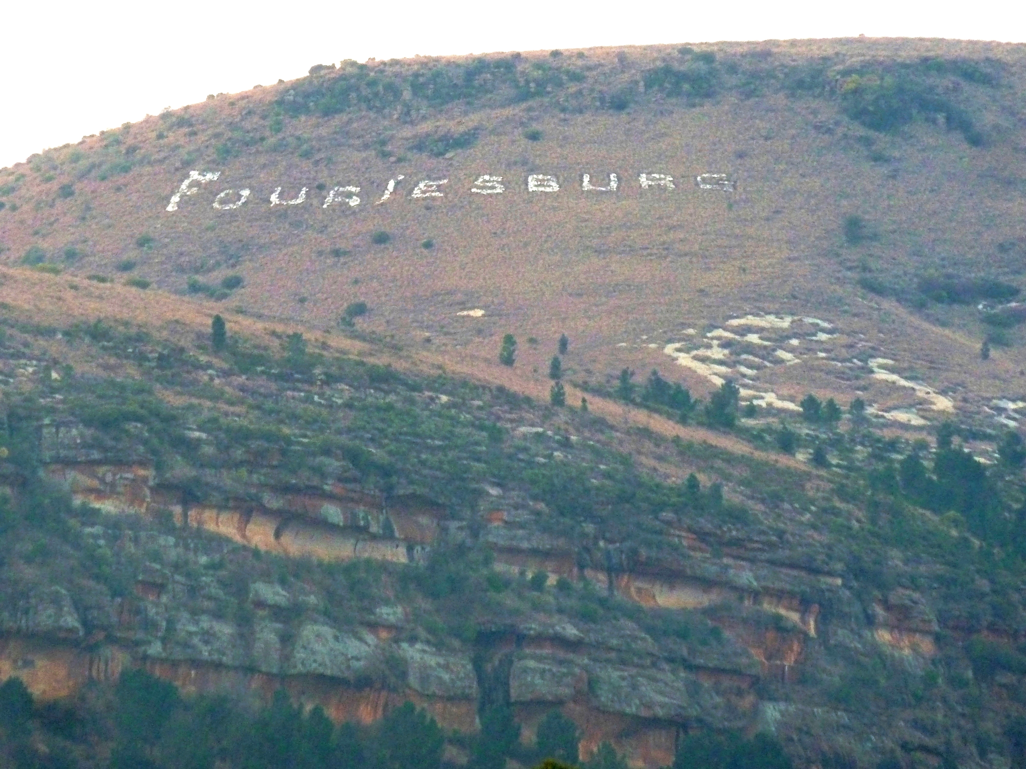
Fouriesburg is a small town situated at the junction of the R711 and R26 routes in the eastern Free State, South Africa. It is near the Maluti Mountains and only 10 km from Caledon's Poort border post, which gives access to Lesotho.
This article needs additional citations for verification. (December 2009) |
Fouriesburg | |
|---|---|
 Dutch Reformed Church, Fouriesburg | |
 Fouriesburg  Fouriesburg | |
| Coordinates: 28°37′21.9″S 28°12′39.22″E | |
| Country | South Africa |
| Province | Free State |
| District | Thabo Mofutsanyane |
| Municipality | Dihlabeng |
| Established | 1892[1] |
| Area | |
| • Total | 12.8 km2 (4.9 sq mi) |
| Population (2011)[2] | |
| • Total | 12,974 |
| • Density | 1,000/km2 (2,600/sq mi) |
| Racial makeup (2011) | |
| • Black African | 96.5% |
| • Coloured | 0.3% |
| • Indian/Asian | 0.6% |
| • White | 2.5% |
| • Other | 0.2% |
| First languages (2011) | |
| • Sotho | 90.7% |
| • Afrikaans | 3.2% |
| • English | 2.0% |
| • Sign language | 1.6% |
| • Other | 2.6% |
| Time zone | UTC+2 (SAST) |
| Postal code (street) | 9725 |
| PO box | 9725 |
| Area code | 058 |
History
During the late nineteenth century, this land was donated to the Orange Free State by a local farmer of Huguenot descent, Christoffel Fourie, for use as a temporary capital during the Second Boer War. It was the site of several engagements during the Boer War, and by 1902 the original settlement had been almost completely destroyed.[3]
Vicinity
A small private resort, Meiringskloof Nature Park, is located in a valley just northeast of town. Fouriesburg is about half an hour's drive from Clarens, a popular tourist destination, and a 45-minute drive from Golden Gate Highlands National Park. It is about fifty kilometres south-east of Bethlehem, and some fifty-three from Ficksburg.
Fouriesburg ranked first during South Africa's 2013 Kwela Town of the Year competition.
References
- Robson, Linda Gillian (2011). "Annexure A" (PDF). The Royal Engineers and settlement planning in the Cape Colony 1806–1872: Approach, methodology and impact (PhD thesis). University of Pretoria. pp. xlv–lii. hdl:2263/26503.
- Sum of the Main Places Mashaeng and Fouriesburg from Census 2011.
- "Dictionary of Southern African Place Names (Public Domain)". Human Science Research Council. p. 166.
Municipalities and communities of Thabo Mofutsanyana District Municipality, Free State | ||
|---|---|---|
District seat: Phuthaditjhaba (Witsieshoek) | ||
| Setsoto |  | |
| Dihlabeng | ||
| Nketoana | ||
| Maluti-a-Phofung | ||
| Phumelela | ||
| Mantsopa | ||
| Authority control |
|
|---|
This Free State location article is a stub. You can help Wikipedia by expanding it. |
На других языках
[de] Fouriesburg
Fouriesburg ist eine Stadt in der südafrikanischen Provinz Freistaat. Sie liegt in der Gemeinde Dihlabeng im Distrikt Thabo Mofutsanyana.- [en] Fouriesburg
Другой контент может иметь иную лицензию. Перед использованием материалов сайта WikiSort.org внимательно изучите правила лицензирования конкретных элементов наполнения сайта.
WikiSort.org - проект по пересортировке и дополнению контента Википедии