world.wikisort.org - Slovakia
Tvrdošín (German: Turdoschin (rare); Hungarian: Turdossin; Polish: Twardoszyn) is a town in central Slovakia.
Tvrdošín | |
|---|---|
Town | |
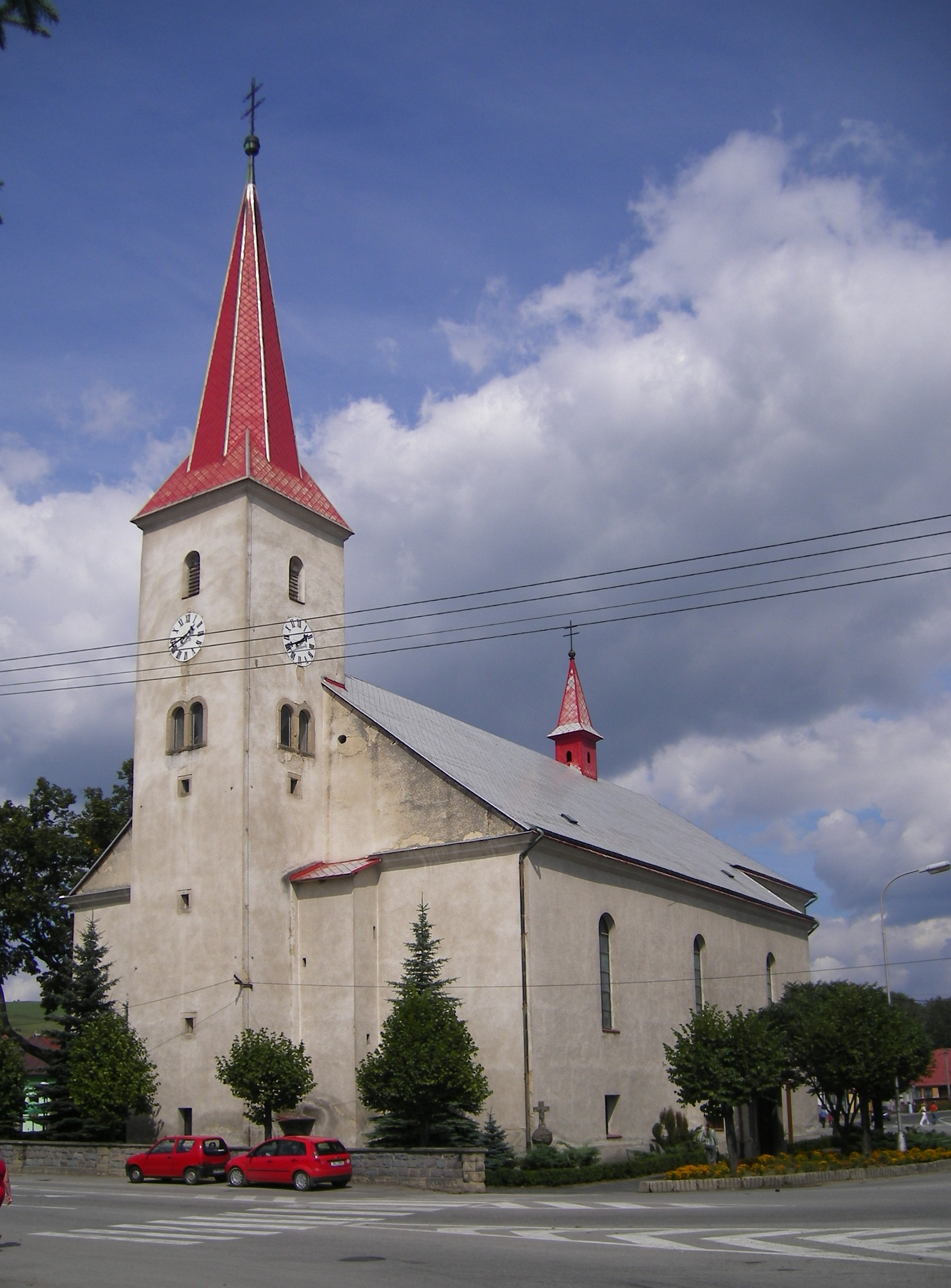 Most Holy Trinity Church, Tvrdošín | |
 Coat of arms | |
 Tvrdošín Location of Tvrdošín in Slovakia | |
| Coordinates: 49°20′3.4″N 19°33′17.3″E | |
| Country | Slovakia |
| Region | Žilina |
| District | Tvrdošín |
| First mentioned | 1111 |
| Government | |
| • Mayor | Ivan Šaško |
| Area | |
| • Total | 56.54[1] km2 (21.83[1] sq mi) |
| Elevation | 592[2] m (1,942[2] ft) |
| Population (2021) | |
| • Total | 8,870[3] |
| Time zone | UTC+1 (CET) |
| • Summer (DST) | UTC+2 (CEST) |
| Postal code | 027 44[2] |
| Area code | +421 43[2] |
| Car plate | TS |
| Website | www.tvrdosin.sk |
Geography
The town is located at the confluence of the Orava and Oravica rivers, 12 km (7 mi) from the Polish borders and cca. 32 km (20 mi) from Dolný Kubín. It consists of the boroughs of Krásna Hôrka, Medvedzie, and Tvrdošín.
History
The town was mentioned in the Zobor documents in 1111 and in the document of Béla III of Hungary in 1183. It received royal free town privileges in 1369.[4]
Demographics
According to the 2001 census, the town had 9,544 inhabitants. 99.03% of inhabitants were Slovaks, 0.53% Czechs and 0.19% Polish.[5] The religious make-up was 92.10% Roman Catholics, 4.84% people with no religious affiliation and 1.18% Lutherans.[5]
Twin towns — Sister cities
Tvrdošín is twinned with:[6]
 Kościelisko, Poland
- Kobylnica, Poland
 Durbuy, Belgium
 Orimattila, Finland
 Östhammar, Sweden
- Uusikaupunki, Finland
 Valga, Estonia
 Valka, Latvia
 Weißenburg in Bayern, Germany
References
- "Hustota obyvateľstva - obce [om7014rr_ukaz: Rozloha (Štvorcový meter)]". www.statistics.sk (in Slovak). Statistical Office of the Slovak Republic. 2022-03-31. Retrieved 2022-03-31.
- "Základná charakteristika". www.statistics.sk (in Slovak). Statistical Office of the Slovak Republic. 2015-04-17. Retrieved 2022-03-31.
- "Počet obyvateľov podľa pohlavia - obce (ročne)". www.statistics.sk (in Slovak). Statistical Office of the Slovak Republic. 2022-03-31. Retrieved 2022-03-31.
- (Slovak)
- "Municipal Statistics". Statistical Office of the Slovak republic. Archived from the original on 2008-02-08. Retrieved 2008-02-17.
- "Partnerské mestá". tvrdosin.sk (in Slovak). Tvrdošín. Retrieved 2019-09-08.
External links
- Official website
 Tvrdošín travel guide from Wikivoyage
Municipalities of Tvrdošín District | ||
|---|---|---|
Authority control | |
|---|---|
| General |
|
| National libraries | |
| Other |
|
This Žilina Region geography article is a stub. You can help Wikipedia by expanding it. |
На других языках
[de] Tvrdošín
Tvrdošín (deutsch selten Turdoschin; ungarisch Turdossin; polnisch Twardoszyn) ist eine Stadt im Norden der Slowakei mit 9165 Einwohnern (Stand 31. Dezember 2020) und Sitz des Okres Tvrdošín im Žilinský kraj.- [en] Tvrdošín
[ru] Тврдошин
Тврдошин (словацк. Tvrdošín, венг. Turdossin) — город на севере Словакии у подножья Оравской Магуры. Население — около 9 тыс. человек.Другой контент может иметь иную лицензию. Перед использованием материалов сайта WikiSort.org внимательно изучите правила лицензирования конкретных элементов наполнения сайта.
WikiSort.org - проект по пересортировке и дополнению контента Википедии