world.wikisort.org - Slovakia
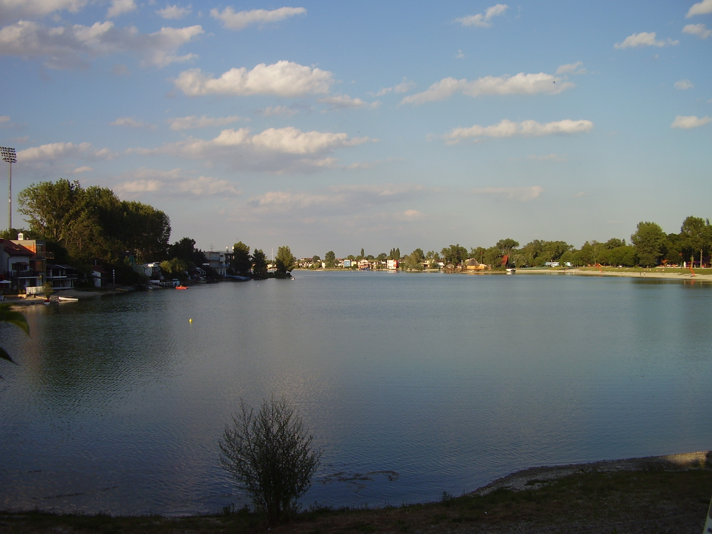
Senec (Hungarian: Szenc) is a town in the Bratislava Region of south-western Slovakia. It is a well known summer tourism and recreation center. The town is attractive not only because of the proximity of Bratislava, the capital of Slovakia, but also because of the healthy environment and summer resort "Slnečné jazerá" ("Sunny Lakes").
Senec
Szenc | |
|---|---|
Town | |
 Town centre of Senec | |
 Coat of arms | |
 Senec Location of Senec in the Bratislava Region  Senec Senec (Slovakia) | |
| Coordinates: 48°13′08″N 17°23′59″E | |
| Country | Slovakia |
| Region | Bratislava |
| District | Senec |
| First mentioned | 1252 |
| Government | |
| • Mayor | Dušan Badinský |
| Area | |
| • Total | 38.71[1] km2 (14.95[1] sq mi) |
| Elevation | 148[2] m (486[2] ft) |
| Population (2021) | |
| • Total | 20,131[3] |
| Time zone | UTC+1 (CET) |
| • Summer (DST) | UTC+2 (CEST) |
| Postal code | 903 01[2] |
| Area code | +421 21[2] |
| Car plate | SC |
| Website | www.senec.sk |
Name
The name comes from a Slavic appellative seno: hay (the inhabitants dealt with cattle trade, see also Senica, Senné, Veľký Krtíš District or Senné, Michalovce District).[4] 1252 Zemch, 1451 Sencz.[4] A German historic name was Wartberg.
History
In the 9th century, the territory of Senec became part of the Great Moravia. In the second half of the 15th century, Hungarian king Matthias Corvinus gave Senec privileges and it got the right of organizing a fair around 1480. In the 19th century, it started to develop after the Pressburg - Budapest railway which runs through the town had been built. After the Austro-Hungarian army disintegrated in November 1918, Czechoslovak troops occupied the area, later acknowledged internationally by the Treaty of Trianon. Between 1938 and 1945 Senec once more became part of Miklós Horthy's Hungary through the First Vienna Award. In 1945, it was recovered by Czechoslovakia. A number of residents were affected by the Beneš Decrees and 630 citizens who collaborated with Miklós Horthy's forces during occupation of Senec were forced to leave the town in 1947 to Hungary. This was a part of Czechoslovak-Hungarian post-war treaty regarding exchange of citizens signed by both, Hungary and Czechoslovakia. From 1945 until the Velvet Divorce, it was part of Czechoslovakia. Since then it has been part of Slovakia.
The historic Church of Saint Nicholaus is located in the southwestern part of the town.
Geography
Senec is situated in Podunajská nížina, on the boundary line of Podunajská rovina and Podunajská pahorkatina. The town is 27 km far from the Austrian boundary (frontier crossing at Kittsee), and 28 km far from the border with Hungary (frontier crossing at Rajka). Vienna (90 km), Budapest (230 km) and Prague (350 km) are the nearest European capitals.[5]
The town is located 25 kilometres north-east from Bratislava, 126 m above sea level. It has good access to the motorway D1 from Bratislava to Žilina, and is situated on the significant 4th Corridor of Trans-European Transport Network Railway route Prague–Bratislava–Balkans/Orient.[5]
The town consists of four boroughs (Senec, Svätý Martin, Červený majer and Horný dvor).
Demographics
In 2001 14,673 permanent residents lived in Senec and the population density was 379/km². Accordingly, Senec ranks at the 55th place among 138 Slovak cities and towns. Following the age, 67.5% inhabitants are in the productive age (men 15–59 years old, women 15–54 years old).
77% occupants acknowledged Slovak nationality and 22% Hungarian nationality. The Roman Catholic Church dominates with 71.7% within the religious structure. The Protestant Church with 8.45% is the second largest Church. The residents without faith represent 12.89%.
In education, technical and secondary schools without the General Certificate of Education dominate with 27.91%. In 2001 graduates represented 11.17% share of Senec residents.[5]
Twin towns — sister cities
Senec is twinned with:[6]
Asteroid
Asteroid 20664 Senec was named in honor of the Slovakian town.[7] The official naming citation was published by the Minor Planet Center on 25 September 2018 (M.P.C. 111797).[8]
See also
References
- "Hustota obyvateľstva - obce [om7014rr_ukaz: Rozloha (Štvorcový meter)]". www.statistics.sk (in Slovak). Statistical Office of the Slovak Republic. 2022-03-31. Retrieved 2022-03-31.
- "Základná charakteristika". www.statistics.sk (in Slovak). Statistical Office of the Slovak Republic. 2015-04-17. Retrieved 2022-03-31.
- "Počet obyvateľov podľa pohlavia - obce (ročne)". www.statistics.sk (in Slovak). Statistical Office of the Slovak Republic. 2022-03-31. Retrieved 2022-03-31.
- Krajčovič, Rudolf (2005). Živé kroniky slovenských dejín [Living Chronicles of the Slovak History] (in Slovak). Bratislava: Literárne informačné centrum. pp. 216–217. ISBN 80-88878-99-3.
- "Vítajte na stránkach mesta Senec". www.senec.sk. Archived from the original on 2004-11-16.
- "História mesta" (in Slovak). Senec. Retrieved 2019-09-03.
- "20664 Senec (1999 UV4)". Minor Planet Center. Retrieved 17 October 2018.
- "MPC/MPO/MPS Archive". Minor Planet Center. Retrieved 17 October 2018.
External links
Authority control | |
|---|---|
| General |
|
| National libraries | |
| Other |
|
На других языках
[de] Senec
Senec (ungarisch Szenc – bis 1907 Szempc; deutsch Wartberg) ist eine Stadt im Westen der Slowakei.- [en] Senec, Slovakia
[ru] Сенец
Се́нец (словацк. Senec, нем. Wartberg, венг. Szenc) — город в западной Словакии в 25 км. от Братиславы. Население — около 19 тыс. человек.Другой контент может иметь иную лицензию. Перед использованием материалов сайта WikiSort.org внимательно изучите правила лицензирования конкретных элементов наполнения сайта.
WikiSort.org - проект по пересортировке и дополнению контента Википедии