world.wikisort.org - Romania
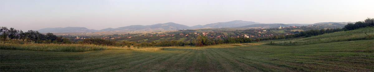
Cizer (Hungarian: Csizér) is a commune located in Sălaj County, Crișana, Romania. It is composed of three villages: Cizer, Plesca (Palicka) and Pria (Perje).
Cizer | |
|---|---|
Commune | |
 Orthodox Church in Pria | |
 Location in Sălaj County | |
 Cizer Location in Romania | |
| Coordinates: 47°4′2″N 22°51′43″E | |
| Country | Romania |
| County | Sălaj |
| Government | |
| • Mayor (2020–2024) | Nicolae Pavel[1] (PNL) |
| Area | 71.23 km2 (27.50 sq mi) |
| Highest elevation | 996 m (3,268 ft) |
| Population (2011)[2] | 2,196 |
| • Density | 31/km2 (80/sq mi) |
| Time zone | EET/EEST (UTC+2/+3) |
| Postal code | 457075 |
| Vehicle reg. | SJ |
| Website | www |
Geography
The commune is located in the southwestern part of the county, 33 km (21 mi) away from the county seat, Zalău, on the border with Cluj County.
Cizer is nestled within the Meseș Mountains (a mountain range within the Apuseni Mountains). The highest peak in the Meseș Mountains, Măgura Priei Peak, with an elevation of 996 m (3,268 ft), is located on the territory of the commune.
The commune lies on the banks of the river Crasna; its affluent, the Pria, discharges into the Crasna in the village of Plesca.
Sights
- Museum in Cizer (rustic old house), built in the 18th century, historic monument.[3]
- Orthodox Church in Pria, built in the 20th century (1930–1936).
References
- "Results of the 2020 local elections". Central Electoral Bureau. Retrieved 14 June 2021.
- "Populaţia stabilă pe judeţe, municipii, oraşe şi localităti componenete la RPL_2011" (XLS). National Institute of Statistics.
- "Muzeul satului din Cizer". skytrip.ro (in Romanian). Retrieved November 11, 2021.

Sălaj County, Romania | ||
|---|---|---|
| Cities |
|  |
| Towns | ||
| Communes |
| |
This Sălaj County location article is a stub. You can help Wikipedia by expanding it. |
Текст в блоке "Читать" взят с сайта "Википедия" и доступен по лицензии Creative Commons Attribution-ShareAlike; в отдельных случаях могут действовать дополнительные условия.
Другой контент может иметь иную лицензию. Перед использованием материалов сайта WikiSort.org внимательно изучите правила лицензирования конкретных элементов наполнения сайта.
Другой контент может иметь иную лицензию. Перед использованием материалов сайта WikiSort.org внимательно изучите правила лицензирования конкретных элементов наполнения сайта.
2019-2026
WikiSort.org - проект по пересортировке и дополнению контента Википедии
WikiSort.org - проект по пересортировке и дополнению контента Википедии