world.wikisort.org - Peru
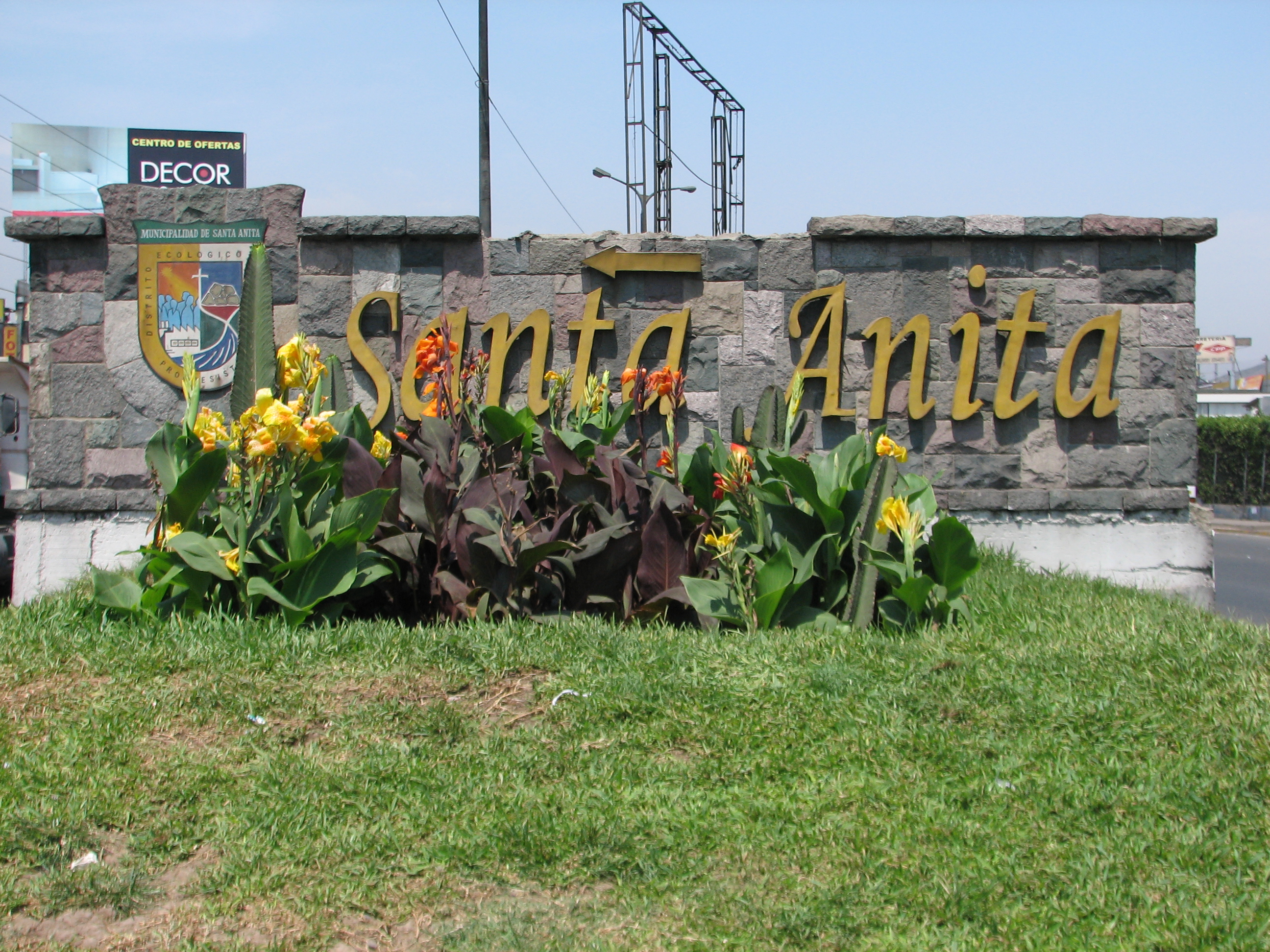
Santa Anita is a district of the Lima Province in Peru. It is part of city of Lima. Officially established as a district on October 25, 1989, from parts of Ate and El Agustino separated by the Rio Surco, a ditch which went all the way to Santiago de Surco.
Santa Anita | |
|---|---|
District | |
 | |
 Flag Coat of arms | |
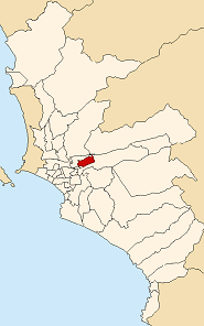 Location of Santa Anita in the Lima province | |
| Country | |
| Region | Lima |
| Province | Lima |
| Founded | October 25, 1989 |
| Capital | Santa Anita |
| Subdivisions | 1 populated center |
| Government | |
| • Mayor | José Luis Nole Palomino (2019-2022) |
| Area | |
| • Total | 10.69 km2 (4.13 sq mi) |
| Elevation | 195 m (640 ft) |
| Population (2017)[1] | |
| • Total | 196,214 |
| • Density | 18,000/km2 (48,000/sq mi) |
| Time zone | UTC-5 (PET) |
| UBIGEO | 150137 |
| Website | munisantanita.gob.pe |
The current mayor (alcalde) of Santa Anita is José Luis Nole. The district's postal code is 43. The core sections of Santa Anita are: Santa Anita proper, originally a section of Ate; and Los Ficus and Universal, originally sections of El Agustino. Industrial areas to the east of Santa Anita and Universal mark the boundary with Ate.
Geography
The district has a total land area of 10.69 km2. Its administrative center is located 195 meters above sea level.
Boundaries
- North: El Agustino and Ate
- East: Ate
- South: El Agustino and Ate
- West: El Agustino
Demographics
According to a 2002 estimate by the INEI, the district has 154,359 inhabitants and a population density of 14,439.6 inhabitants/km2. In 1999, there were 27,908 households in the district.
See also
- Administrative divisions of Peru
References
External links
- (in Spanish) Municipal website
This Lima Province geography article is a stub. You can help Wikipedia by expanding it. |
Другой контент может иметь иную лицензию. Перед использованием материалов сайта WikiSort.org внимательно изучите правила лицензирования конкретных элементов наполнения сайта.
WikiSort.org - проект по пересортировке и дополнению контента Википедии