world.wikisort.org - Pakistan
Chārsadda (Pashto: چارسده; ![]() pronounce (help·info); Urdu: چارسدہ;
pronounce (help·info); Urdu: چارسدہ; ![]() pronounce (help·info)) is a town and headquarters of Charsadda District, in the Khyber Pakhtunkhwa province of Pakistan.[4] It is the eighty fifth-largest city of Pakistan, according to 2017 census. Located in the Valley of Peshawar, Charsadda lies about 29 kilometres (18 mi) from the provincial capital of Peshawar at an altitude of 276 metres (906 ft).[5] The total area of Charsadda District measures about 996 square Km. The district is geographically organized into two primary parts: Hashtnagar (Pashto: Ashnaghar) and Do Aaba (Pashto: Duaba).
pronounce (help·info)) is a town and headquarters of Charsadda District, in the Khyber Pakhtunkhwa province of Pakistan.[4] It is the eighty fifth-largest city of Pakistan, according to 2017 census. Located in the Valley of Peshawar, Charsadda lies about 29 kilometres (18 mi) from the provincial capital of Peshawar at an altitude of 276 metres (906 ft).[5] The total area of Charsadda District measures about 996 square Km. The district is geographically organized into two primary parts: Hashtnagar (Pashto: Ashnaghar) and Do Aaba (Pashto: Duaba).
This article needs additional citations for verification. (June 2015) |
Chārsadda
چارسده | |
|---|---|
District Headquarter / City | |
 Bacha Khan chowk | |
 Chārsadda  Chārsadda | |
| Coordinates: 34°9′0″N 71°44′0″E | |
| Country | Pakistan |
| Province | |
| District | Charsadda |
| Tehsil | Charsadda |
| Government | |
| • Type | Tehsil-council |
| • Chairman | Abdul Rauf[2] (JUI-F) |
| Population (2017)[3] | |
| • Total | 114,565 |
| Time zone | UTC+5 (PKT) |
History
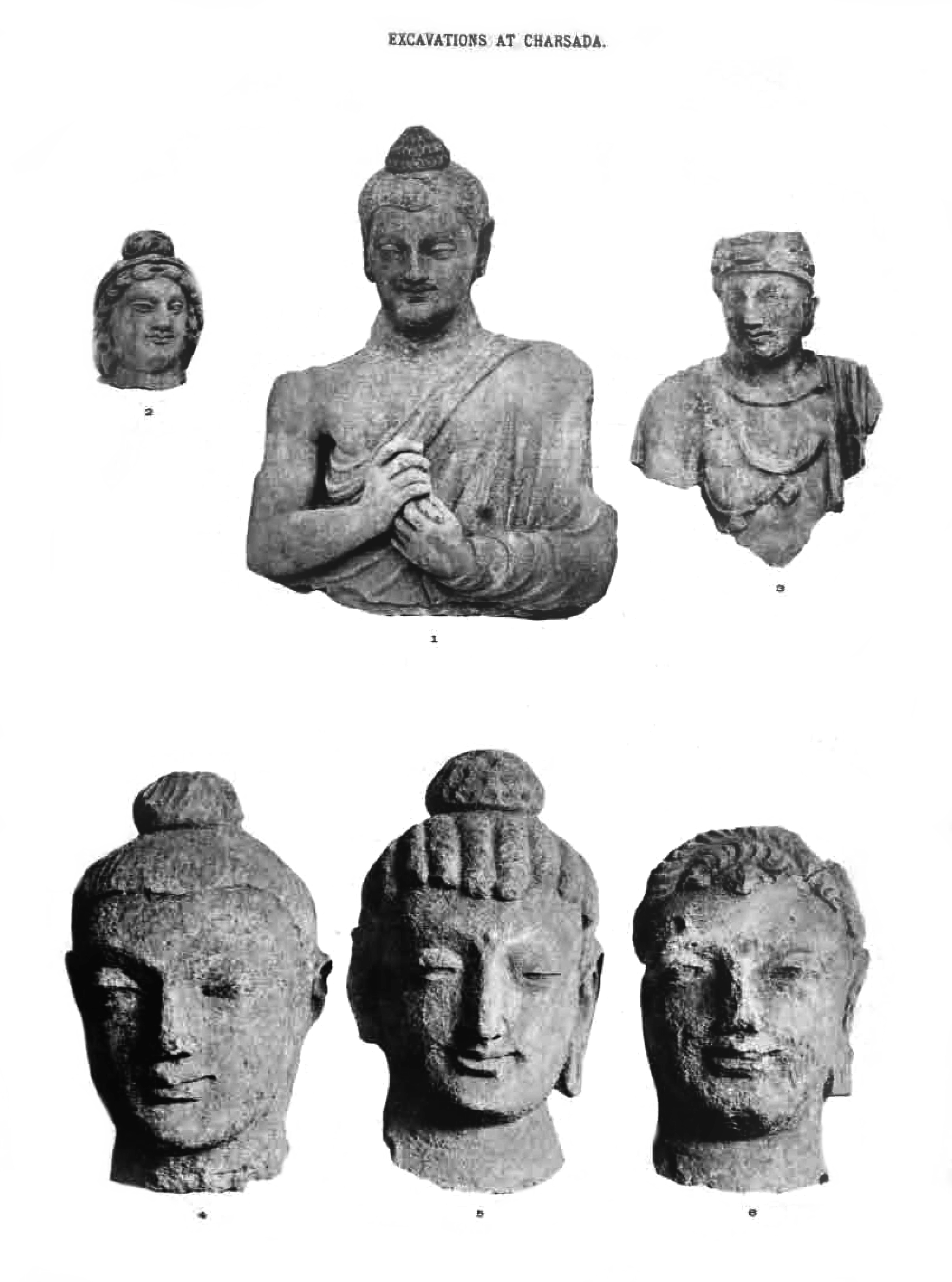
The earliest archaeological deposits recovered at Charsadda, in Bala Hisar, are dated to ca. 1400 BCE, when a small community was established on a low natural mound of clay above the floodplain of the Kabul and Swat rivers, constructing structures of timber posts slotted into postholes,[6] in association with ceramic sherds and ash. Subsequent periods indicate that more permanent structures were built at Charsadda, including stone-lined pits. Between the 14th century BCE and the 6th century BCE, when an Achaemenid presence is represented at the site (see below), the inhabitants of Charsadda developed an iron-working industry and used ceramics that are typical for this period in the Vale of Peshawar, Swat and Dir. The later history of Charsadda can be traced back to the 6th century BCE. It was the capital of Gandhara from the 6th century BCE to the 2nd century CE. The ancient name of Charsadda was Pushkalavati.The city hosts the ruins of what was once the ancient Gandharan capital city of Pushkalavati (meaning Lotus City in Sanskrit), and The father of Sanskrit grammar, Pāṇini was from this area and lived around 4th century BCE.[7][8] Many invaders have ruled over this region during different times of history. These include the Durrani Empire, Alexander the Great's Macedonians, the Mauryas, the Greco-Bactrians, the Indo-Greeks, the Indo-Scythians, the Indo-Parthians, the Kushans, the Huns, the Turks, the Guptas.

Charsadda is contiguous to the town of Prang; and these two places were identified by Alexander Cunningham with the ancient Pushkalāvati, capital of the region at the time of Alexander's invasion, and transliterated as Peukelaus or Peukelaotis by the Greek historians. Its chieftain (Astes), according to Arrian, was killed in defence of one of his strongholds after a prolonged siege by Hephaistion. Ptolemy fixes its site upon the eastern bank of the Suastene or Swat. The region was later conquered by Chandragupta Maurya from the Macedonian straps.
Rivers
There are three rivers flowing in Charsadda: the River Jindi, the Kabul River and the Swat River; these are the main source of irrigation for Charsadda. The three rivers then merge and join the Indus River.[9]
Administration
The district is administratively subdivided into three tehsils – Charsadda, Tangi, and Shabqadar which contained a total of 49 Union Councils.[4]
Education
Bacha Khan University is a public university situated in Charsadda, named after Abdul Ghaffar Khan (Bacha Khan). In January 2016, the university was attacked by gunmen.[10]
See also
- Pushkalavati
پشکلاوتی
References
- "KP's new LG system: structure, powers, and voting process". SAMAA TV. 17 December 2021. Retrieved 18 January 2022.
- "Tehsil Council Charsadda – KPK Local Body Election Result 2021". Geo News. Retrieved 18 January 2022.
- "POPULATION AND HOUSEHOLD DETAIL FROM BLOCK TO DISTRICT LEVEL: KHYBER PAKHTUNKHWA (Charsadda DISTRICT)" (PDF). 3 January 2018. Archived from the original (PDF) on 27 August 2018. Retrieved 24 April 2018.
- Tehsils & Unions in the District of Charsada – Government of Pakistan Archived 22 March 2008 at the Wayback Machine
- Location of Charsadda – Falling Rain Genomics
- Coningham, R.A.E. and C. Batt, 2007. "Dating the Sequence", in R.A.E. Coningham and I. Ali (eds.), Charsadda: The British-Pakistani Excavations at the Bala Hisar, Society for South Asian Studies Monograph No. 5, BAR International Series 1709, Archaeopress, Oxford, p. 97.
- Peddie, Jon (13 June 2013). The History of Visual Magic in Computers: How Beautiful Images are Made in CAD, 3D, VR and AR. Springer Science & Business Media. p. 17. ISBN 978-1-4471-4932-3.
- "NWFP in search of a name". pakhtunkhwa.com. Archived from the original on 31 January 2016. Retrieved 24 January 2016.
- Noreen Haider. "Living With Disasters" (PDF). Archived from the original (PDF) on 9 July 2011. Retrieved 1 June 2010.
- Pakistan attack: Gunmen kill 19 at Bacha Khan University BBC
External links
Administrative divisions of Charsadda District | ||
|---|---|---|
| Capital | ||
| Tehsils |
| |
| Union councils |
| |
Authority control | |
|---|---|
| General |
|
| National libraries | |
| Other |
|
На других языках
[de] Charsadda
Charsadda ist eine Stadt in der pakistanischen Provinz Khyber Pakhtunkhwa mit etwa 97.000 Einwohnern (Schätzung 2006). Sie liegt in der Ebene von Peschawar, 29 km nordöstlich von der Provinzhauptstadt Peschawar am Fluss Swat, der hier in den Kabul mündet und die Stadt im Westen umgibt. Sie ist der namensgebende Verwaltungssitz des Distrikts Charsadda.- [en] Charsadda
[ru] Чарсадда
Чарсадда (пушту چارسدہ) — город в пакистанской провинции Хайбер-Пахтунхва, центр одноимённого округа.Другой контент может иметь иную лицензию. Перед использованием материалов сайта WikiSort.org внимательно изучите правила лицензирования конкретных элементов наполнения сайта.
WikiSort.org - проект по пересортировке и дополнению контента Википедии