world.wikisort.org - Pakistan
Amra Kalan is a village and union council of Gujrat District, in the Punjab province of Pakistan.[1] It is part of Kharian Tehsil and is located at an altitude of 219 metres.[2]
This article includes a list of general references, but it lacks sufficient corresponding inline citations. (October 2019) |
Amra Kalan | |
|---|---|
Village and union council | |
 Amra Kalan Location in Pakistan | |
| Coordinates: 32°39′55″N 73°40′15″E | |
| Country | Pakistan |
| Region | Punjab province |
| District | Gujrat District |
| Time zone | UTC+5 (PST) |


History
Amra Kalan was named after its first settler Amar Khan in the 16th century. The Battle of Chillianwala was fought during the Second Anglo-Sikh War in the nearby villages of Chillianwala and Rasul on 13 January 1849. Before the creation of Pakistan it was home to Muslims, Sikhs and Hindus. During the bloody partition in 1947, Sikhs and Hindus migrated to India and Muslim refugees (Muhajirs) coming from India were given the abandoned properties left behind by the Sikhs.
Before 1960 people of Amra Kalan largely depended on agriculture. Small land holdings and economic conditions forced people to look for alternatives. From the early 1960s, many inhabitants started migrating to European countries; mainly the United Kingdom, Greece, Holland, Denmark and Norway, to the Middle East in the 70s and later to USA, Spain and Italy from the 90s onward. This has brought about an improvement in the economic conditions for majority of the population with better living conditions for many in the village.
Infrastructure
Amra Kalan is in two parts: the main village and the Adda (bus stop). Over the years the Adda has developed into a place of commercial and industrial activity. Amra Kalan is growing into a small town: It has three government schools, hospital, a telephone exchange, a bank, a post office, two graveyards and two self-funded community centres.
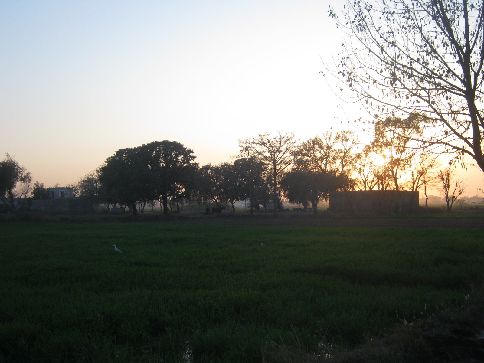
The streets are paved and sewerage channels are open but lined. The village is surrounded by fields that are used to harvest rice and wheat in respective seasons.
Transport
Amra Kalan has seventy Rickshaws providing convenient transport to neighbouring villages and to Dinga Town that is approximately 3 miles from the village. There are some tangas (single horse carriages) linking the village and the Adda but their number is on the decline. The Adda provides two taxi bases.
Religion
The village is home to sunni, Sufi and shia Muslims. There are eleven mosques, four holy shrines and one imam bargah. in Amra Kalan there is a shrine of Allama Maulana Molvi Allah Deen and his son Allama Muhammad Azeem ur Rehman.
References
- Tehsils & Unions in the District of Gujrat - Government of Pakistan Archived 14 February 2009 at the Wayback Machine
- Location of Amra Kalan - Falling Rain Genomics
| Wikimedia Commons has media related to Amra Kalan. |
Другой контент может иметь иную лицензию. Перед использованием материалов сайта WikiSort.org внимательно изучите правила лицензирования конкретных элементов наполнения сайта.
WikiSort.org - проект по пересортировке и дополнению контента Википедии