world.wikisort.org - New_Zealand
Waiotahe (for a time, Waiotahi) is a beach, settlement and rural community in the Ōpōtiki District and Bay of Plenty Region of New Zealand's North Island, near the mouth and lowermost stretch of the Waiotahe River.
Waiotahi | |
|---|---|
Town | |
 Te Ara Ki Te Rawhiti - The pathway to the sunrise | |
 | |
| Coordinates: | |
| Country | New Zealand |
| Region | Bay of Plenty |
| Territorial authority | Ōpōtiki District |
| Ward | Waioeka-Waiotahe |
| Population (2018) | |
| • Total | 1,518 |
| Postcode(s) | 3198 |
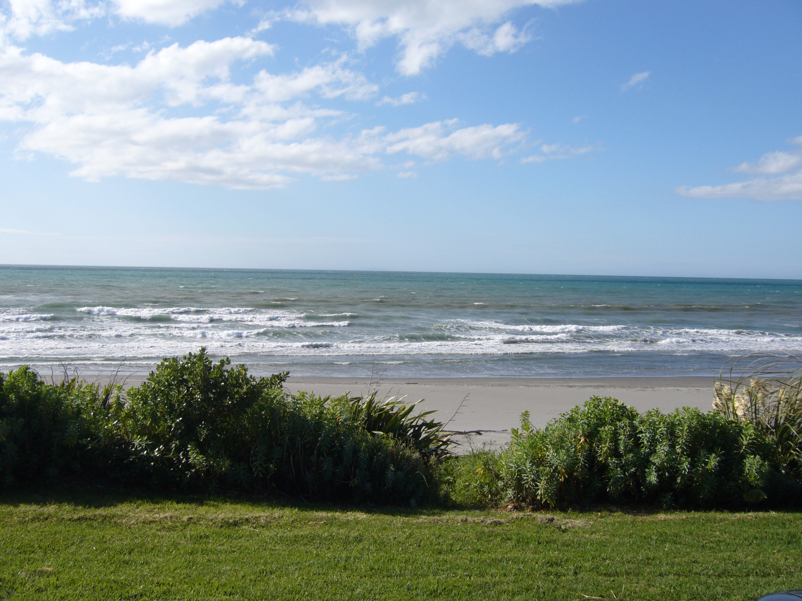
It includes a beach that attracts swimmers, surfers and anglers during the summer months, and river mouths that people fish from year-round. The beach is more dangerous during low tide due to stronger rips, but has natural hazards in all conditions.[1]
Ōpōtiki District Council has banned vehicles from the mudflats of the Waiotahe estuary and a section of Waiotahe Beach.[2] The council allows vehicles at other beaches, unlike most other New Zealand councils.[3]
The town's official name reverted from Waiotahi back to the original Māori name Waiotahe in August 2015, following a decision by Land Information Minister Louise Upston, upheld by the New Zealand Geographic Board.[4]
History
In July 2013, a couple in their 60s were attacked and held captive in their Waiotahe home by a former soldier who had spent the previous night sleeping rough near the town hall.[5] The perpetrator fled the scene in their ute and was shot dead by police in Auckland.[6] The couple were hospitalised for injuries to their hands and reported being traumatised by their ordeal.[7]
The first case of Mycoplasma bovis in Bay of Plenty was recorded in a farm in Waiotahe in January 2020.[8]
Demographics
| Year | Pop. | ±% p.a. |
|---|---|---|
| 2006 | 1,368 | — |
| 2013 | 1,368 | +0.00% |
| 2018 | 1,518 | +2.10% |
| Source: [9] | ||
The statistical area of Waiotahi, which covers 142 square kilometres, had a population of 1,518 at the 2018 New Zealand census, an increase of 150 people (11.0%) since the 2013 census, and an increase of 150 people (11.0%) since the 2006 census. There were 603 households. There were 759 males and 756 females, giving a sex ratio of 1.0 males per female. The median age was 48.9 years (compared with 37.4 years nationally), with 267 people (17.6%) aged under 15 years, 225 (14.8%) aged 15 to 29, 690 (45.5%) aged 30 to 64, and 333 (21.9%) aged 65 or older.
Ethnicities were 74.5% European/Pākehā, 40.3% Māori, 1.8% Pacific peoples, 3.0% Asian, and 1.2% other ethnicities (totals add to more than 100% since people could identify with multiple ethnicities).
The proportion of people born overseas was 9.9%, compared with 27.1% nationally.
Although some people objected to giving their religion, 53.2% had no religion, 27.7% were Christian, 0.4% were Hindu, 0.2% were Muslim, 0.6% were Buddhist and 9.5% had other religions.
Of those at least 15 years old, 204 (16.3%) people had a bachelor or higher degree, and 270 (21.6%) people had no formal qualifications. The median income was $28,900, compared with $31,800 nationally. The employment status of those at least 15 was that 576 (46.0%) people were employed full-time, 195 (15.6%) were part-time, and 69 (5.5%) were unemployed.[9]
Education
Waiotahe Valley School is a co-educational state primary school for Year 1 to 8 students,[10] with a roll of 106 as of March 2022.[11] The school opened in 1921.[12]
Notable people
Kayaker Lisa Carrington was raised in the valley and went to the local school, where both of her parents are teachers. She regularly visits the area.[13]
References
- "Waiotahi Beach". finabeach.co.nz. Surf Life Saving New Zealand.
- Staff reporter (26 December 2019). "Stick to the rules if driving on the beach". Sun Media. Sun Live.
- Hutt, Kendall (8 January 2020). "Explainer: Where can you drive your car on the beach?". stuff.co.nz.
- Gullier, Aimee (28 August 2015). "'Waiotahi' corrected to 'Waiotahe'". stuff.co.nz.
- Wall, Tony (14 July 2013). "Captive offered to help shootout victim". stuff.co.nz. Sunday Star Times.
- Kirk, Stacey (8 July 2013). "Police shoot ex-soldier dead after chase". stuff.co.nz.
- Kidd, Rob (9 July 2013). "Rampaging ex-soldier 'didn't kill himself'". stuff.co.nz. Nelson Mail.
- Staff reporter (24 January 2020). "First case of Mycoplasma bovis confirmed in the Bay of Plenty". New Zealand Media and Entertainment. Rotorua Daily Post.
- "Statistical area 1 dataset for 2018 Census". Statistics New Zealand. March 2020. Waiotahi (204100). 2018 Census place summary: Waiotahi
- "Waiotahe Valley School Ministry of Education School Profile". educationcounts.govt.nz. Ministry of Education.
- "Waiotahe Valley School Education Review Office Report". ero.govt.nz. Education Review Office.
- Shanks, Katee (31 December 2020). "Waiotahe Valley School Centenary approaching". News Whakatane.
- Staff reporter (28 November 2019). "Lisa Carrington cherishing time in hometown ahead of massive year on the water". Television New Zealand. 1 News.
Другой контент может иметь иную лицензию. Перед использованием материалов сайта WikiSort.org внимательно изучите правила лицензирования конкретных элементов наполнения сайта.
WikiSort.org - проект по пересортировке и дополнению контента Википедии