world.wikisort.org - New_Zealand
Rural Waiheke comprises the eastern and southern parts of Waiheke Island in the Hauraki Gulf near Auckland, in New Zealand. Apart from small settlements at Ōmiha and Orapiu, the area south and east of Onetangi is mostly private farmland.[3] Waiheke Island Aerodrome is approximately in the centre of the island.
Rural Waiheke | |
|---|---|
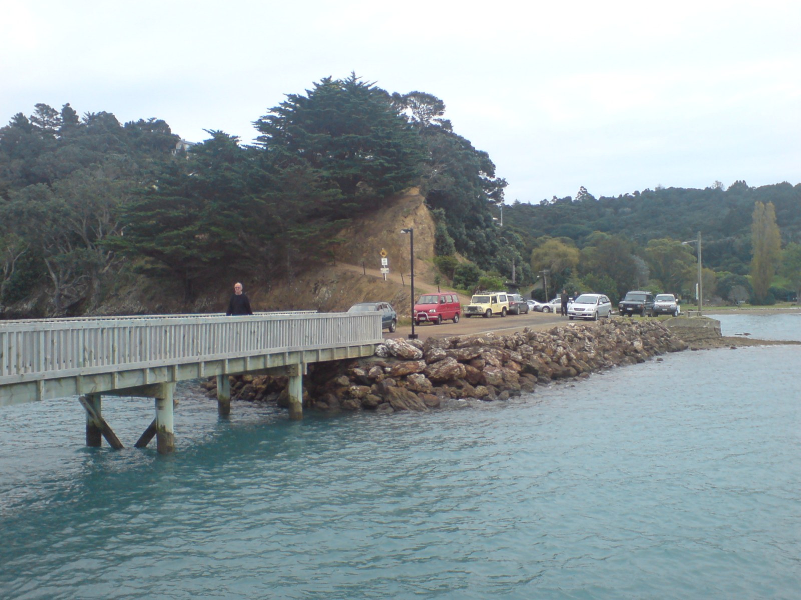 Orapiu Bay wharf | |
 | |
| Coordinates: 36.801°S 175.124°E | |
| Country | New Zealand |
| Region | Auckland Region |
| Ward | Waitematā and Gulf ward |
| Community board | Waiheke Local Board |
| Government | |
| • Territorial Authority | Auckland Council |
| Area | |
| • Total | 67.40 km2 (26.02 sq mi) |
| Population (June 2021)[2] | |
| • Total | 1,160 |
| • Density | 17/km2 (45/sq mi) |
Whakanewha Regional Park is a 250 ha reserve with a substantial forest of native trees, a wetland and a beach.[4][5]
Stony Batter is a 20 ha scenic reserve containing a former defence installation with an extensive system of tunnels.[6]
Demographics
The statistical area of Waiheke East covers the rural area of Waiheke and also the smaller islands of the Hauraki Gulf including Ponui Island, Pakihi Island and Rotoroa Island, none of which have a substantial population. The Waiheke part of the statistical area covers 67.40 km2 (26.02 sq mi)[1] and the whole area had an estimated population of 1,160 as of June 2021,[2] with a population density of 17 people per km2.
| Year | Pop. | ±% p.a. |
|---|---|---|
| 2006 | 822 | — |
| 2013 | 903 | +1.35% |
| 2018 | 1,071 | +3.47% |
| Source: [7] | ||
Waiheke East had a population of 1,071 at the 2018 New Zealand census, an increase of 168 people (18.6%) since the 2013 census, and an increase of 249 people (30.3%) since the 2006 census. There were 435 households, comprising 522 males and 552 females, giving a sex ratio of 0.95 males per female. The median age was 49.9 years (compared with 37.4 years nationally), with 171 people (16.0%) aged under 15 years, 126 (11.8%) aged 15 to 29, 555 (51.8%) aged 30 to 64, and 219 (20.4%) aged 65 or older.
Ethnicities were 89.6% European/Pākehā, 11.8% Māori, 5.6% Pacific peoples, 2.8% Asian, and 3.6% other ethnicities. People may identify with more than one ethnicity.
The percentage of people born overseas was 29.1, compared with 27.1% nationally.
Although some people chose not to answer the census's question about religious affiliation, 63.0% had no religion, 24.4% were Christian, 0.6% had Māori religious beliefs, 0.6% were Hindu, 0.3% were Muslim, 1.4% were Buddhist and 2.8% had other religions.
Of those at least 15 years old, 297 (33.0%) people had a bachelor's or higher degree, and 111 (12.3%) people had no formal qualifications. The median income was $32,500, compared with $31,800 nationally. 189 people (21.0%) earned over $70,000 compared to 17.2% nationally. The employment status of those at least 15 was that 405 (45.0%) people were employed full-time, 171 (19.0%) were part-time, and 12 (1.3%) were unemployed.[7]
Notes
- "ArcGIS Web Application". statsnz.maps.arcgis.com. Retrieved 30 July 2022.
- "Population estimate tables - NZ.Stat". Statistics New Zealand. Retrieved 22 October 2021.
- "Community". Tourism Auckland. Archived from the original on 17 January 2013.
- "Whakanewha Regional Park". Tourism Waiheke. Retrieved 25 August 2020.
- "Whakanewha Regional Park". Our Auckland. Auckland Council. 24 October 2014.
- "Stony Batter Historic Reserve". New Zealand Department of Conservation. Retrieved 25 August 2020.
- "Statistical area 1 dataset for 2018 Census". Statistics New Zealand. March 2020. Waiheke East (151700). 2018 Census place summary: Waiheke East
Другой контент может иметь иную лицензию. Перед использованием материалов сайта WikiSort.org внимательно изучите правила лицензирования конкретных элементов наполнения сайта.
WikiSort.org - проект по пересортировке и дополнению контента Википедии