world.wikisort.org - New_Zealand
Greta Valley is a town in North Canterbury, 83 km north of Christchurch, New Zealand. It was named after the River Greta in Yorkshire by local runholders Sir Charles Clifford and Sir Frederick Weld in the 1850s, but it is to the east of the Greta River and on the south bank of the Waikari River.[1]
Greta Valley | |
|---|---|
Settlement | |
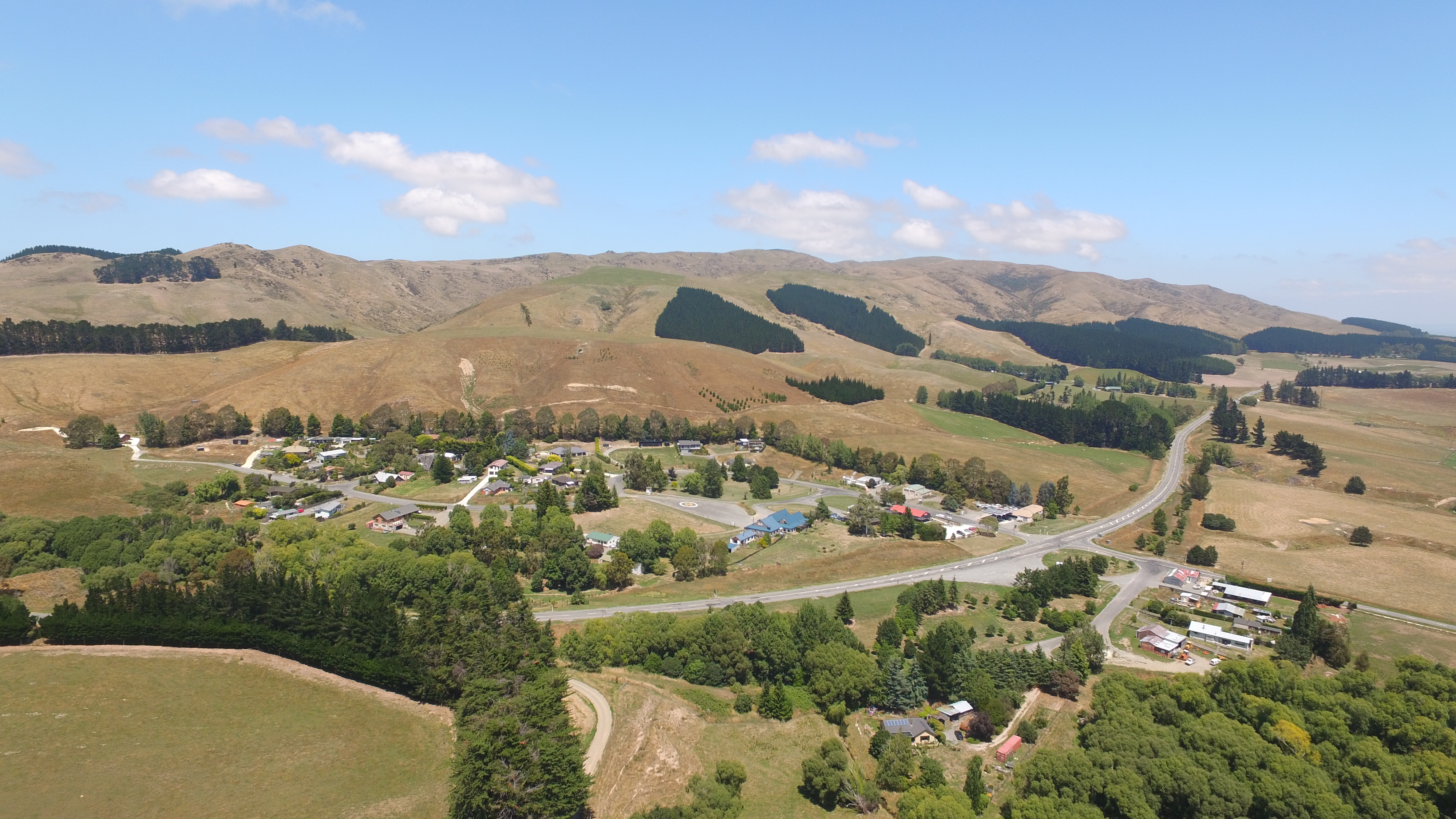 Greta Valley village looking in a south easterly direction | |
 | |
| Coordinates: 42°57′50″S 172°58′04″E | |
| Country | New Zealand |
| Region | Canterbury |
| Territorial authority | Hurunui District |
| Ward | East Ward |
| Time zone | UTC+12 (New Zealand Standard Time) |
| • Summer (DST) | UTC+13 (New Zealand Daylight Time) |


It is situated approximately halfway between Christchurch and Cheviot just off State Highway 1.
2016 earthquake
On 22 November 2016 at 1813 hours an earthquake of 5.7 magnitude struck the town of Scargill, 2 kilometres north-west of Greta Valley. The earthquake was described by locals as severe due to its shallow depth of 7 kilometres. As a result, there was significant damage to the local community hall, houses, and water tanks. The earthquake was considered an aftershock of the 2016 Kaikōura earthquake.[2]
Demographics
Greta Valley is part of the wider Omihi statistical area.[3]
Education
Greta Valley School is a co-educational state primary school for Year 1 to 8 students,[4] with a roll of 41 as of March 2022.[5] Facilities include a swimming pool, two playing fields, a tennis court and a library.[5]
References
| Wikimedia Commons has media related to Greta Valley. |
- Discover New Zealand:A Wises Guide (9th ed.). 1994. p. 380.
- "Scargill in pictures: the aftermath of a quake". Stuff. 24 November 2016.
- 2018 Census place summary: Omihi
- "Greta Valley School Ministry of Education School Profile". educationcounts.govt.nz. Ministry of Education.
- "Greta Valley School Education Review Office Report". ero.govt.nz. Education Review Office.
Другой контент может иметь иную лицензию. Перед использованием материалов сайта WikiSort.org внимательно изучите правила лицензирования конкретных элементов наполнения сайта.
WikiSort.org - проект по пересортировке и дополнению контента Википедии