world.wikisort.org - New_Zealand
Dargaville (Māori: Takiwira) is a town located in the North Island of New Zealand. It is situated on the bank of the Northern Wairoa River in the Kaipara District of the Northland region. The town is located 55 kilometres southwest of Whangārei. Dargaville is 174 kilometres north of Auckland.
Dargaville
Takiwira (Māori) | |
|---|---|
 Victoria Street in Dargaville (2015) | |
| Motto: Heart of the Kauri Coast | |
 | |
| Coordinates: 35°56′18″S 173°52′18″E | |
| Country | New Zealand |
| Region | Northland Region |
| District | Kaipara District |
| Ward | Dargaville Ward |
| Government | |
| • Territorial Authority | Kaipara District Council |
| • Regional council | Northland Regional Council |
| Area | |
| • Total | 12.56 km2 (4.85 sq mi) |
| Population (June 2021)[2] | |
| • Total | 4,950 |
| • Density | 390/km2 (1,000/sq mi) |
| Postcode(s) | 0310 |
It is noted for the high proportion of residents of Croatian descent.[3] The area around it is one of the chief regions in the country for cultivating kumara (sweet potato) and so Dargaville is known by many locals as the Kumara Capital of New Zealand.[4]
History and culture

The town was named after timber merchant and politician Joseph Dargaville (1837–1896).[5] Dargaville was founded in 1872,[6] during the 19th-century kauri gum and timber trade, it briefly[when?] had New Zealand's largest population.
Dargarville was made a borough in 1908.[4]
The area became known for a thriving industry that included gum digging and kauri logging, which was based mainly at Te Kōpuru, several kilometres south of Dargaville on the banks of the Northern Wairoa river. The river was used to transport the huge logs downstream to shipbuilders and as a primary means of transport to Auckland. Dalmatian migrants were particularly prominent in the kauri gum extraction.[7] After the gum and forestry industries started to decline after 1920, farming, especially dairy became a significant contributor to the economy.[4]
The Wairoa river was the main method of transport around Dargaville until the 1940s.[8]
The Bank of New Zealand closed its Dargaville branch in 2020.[9]
Demographics
Statistics New Zealand describes Dargaville as a small urban centre. It covers 12.56 km2 (4.85 sq mi)[1] and had an estimated population of 4,950 as of June 2021,[2] with a population density of 394 people per km2.
| Year | Pop. | ±% p.a. |
|---|---|---|
| 2006 | 4,455 | — |
| 2013 | 4,251 | −0.67% |
| 2018 | 4,794 | +2.43% |
| Source: [10] | ||
Dargaville had a population of 4,794 at the 2018 New Zealand census, an increase of 543 people (12.8%) since the 2013 census, and an increase of 339 people (7.6%) since the 2006 census. There were 1,812 households, comprising 2,325 males and 2,469 females, giving a sex ratio of 0.94 males per female. The median age was 44.1 years (compared with 37.4 years nationally), with 936 people (19.5%) aged under 15 years, 840 (17.5%) aged 15 to 29, 1,785 (37.2%) aged 30 to 64, and 1,233 (25.7%) aged 65 or older.
Ethnicities were 70.7% European/Pākehā, 35.7% Māori, 7.4% Pacific peoples, 4.4% Asian, and 1.4% other ethnicities. People may identify with more than one ethnicity.
The percentage of people born overseas was 13.3, compared with 27.1% nationally.
Although some people chose not to answer the census's question about religious affiliation, 41.1% had no religion, 43.9% were Christian, 3.9% had Māori religious beliefs, 0.9% were Hindu, 0.4% were Muslim, 0.1% were Buddhist and 1.1% had other religions.
Of those at least 15 years old, 282 (7.3%) people had a bachelor's or higher degree, and 1,161 (30.1%) people had no formal qualifications. The median income was $22,200, compared with $31,800 nationally. 267 people (6.9%) earned over $70,000 compared to 17.2% nationally. The employment status of those at least 15 was that 1,440 (37.3%) people were employed full-time, 549 (14.2%) were part-time, and 171 (4.4%) were unemployed.[10]
Geography

The nearby Ripiro Beach has the longest unbroken stretches of sand beach in New Zealand, and is largely drivable from one end to the other. This beach is home of the famous local shellfish delicacy called the toheroa. Overexploitation in the 1950s and 1960s caused the population of the shellfish to decline enough that public gathering of the shellfish is now prohibited.[11]
Dargaville is also the gateway to the Waipoua Forest, a protected national park and home of the biggest specimens of Kauri tree in New Zealand, Tāne Mahuta (Māori, meaning "Lord of the Forest") being chief amongst them.
Dargaville is situated by the Wairoa River, with boat moorings adjacent to the town centre. The river is tidal when it passes through Dargaville.
Climate
Köppen-Geiger climate classification system classifies its climate as oceanic (Cfb) with warm summers and mild winters.[12]
| Climate data for Dargaville | |||||||||||||
|---|---|---|---|---|---|---|---|---|---|---|---|---|---|
| Month | Jan | Feb | Mar | Apr | May | Jun | Jul | Aug | Sep | Oct | Nov | Dec | Year |
| Average high °C (°F) | 23.6 (74.5) |
24 (75) |
23 (73) |
20.5 (68.9) |
17.8 (64.0) |
15.8 (60.4) |
15 (59) |
15.4 (59.7) |
16.3 (61.3) |
17.8 (64.0) |
19.7 (67.5) |
21.9 (71.4) |
19.23 (66.61) |
| Daily mean °C (°F) | 18.8 (65.8) |
19.1 (66.4) |
18.3 (64.9) |
16 (61) |
13.5 (56.3) |
11.8 (53.2) |
10.9 (51.6) |
11.4 (52.5) |
12.5 (54.5) |
13.9 (57.0) |
15.5 (59.9) |
17.3 (63.1) |
14.92 (58.86) |
| Average low °C (°F) | 13.9 (57.0) |
14.3 (57.7) |
13.6 (56.5) |
11.5 (52.7) |
9.2 (48.6) |
7.8 (46.0) |
6.8 (44.2) |
7.4 (45.3) |
8.7 (47.7) |
10 (50) |
11.2 (52.2) |
12.7 (54.9) |
10.59 (51.06) |
| Average precipitation mm (inches) | 73 (2.9) |
74.6 (2.94) |
88.5 (3.48) |
89.3 (3.52) |
114.7 (4.52) |
145.2 (5.72) |
126.8 (4.99) |
128.7 (5.07) |
102.3 (4.03) |
91.2 (3.59) |
81.8 (3.22) |
72.3 (2.85) |
1,188.4 (46.83) |
| Source 1: Climate Charts (altitude: 15m)[13] | |||||||||||||
| Source 2: Climate-Data.org (altitude: 22m)[12] | |||||||||||||
Infrastructure

Hospital
Dargaville hospital is located at 77 Awakino Road. It provides a 12 bed general medical ward, a 4 bed post-natal maternity unit. It also provides emergency, radiology, laboratory, physiotherapy, occupational therapy, social work and district nursing services . An eight bed detoxification ward is also located on site. Doctors from Whangārei Hospital also run outpatient clinics at Dargaville hospital.[14][15]
Road
Dargaville is on the junction of State Highways 12 and 14.
Rail
North of the town, the Donnellys Crossing Section railway was established to provide access to other logging activities. The first portion of this line was opened in 1889, it reached its greatest extent in 1923, and after operating isolated from the national rail network for decades, it was connected with the North Auckland Line by the Dargaville Branch in 1940. The Donnelly's Crossing Section closed in 1959, but the Dargaville Branch remains in use by a tourist venture, having been closed by KiwiRail since October 2014.[16]
Air
The Dargaville aerodrome is located on the banks of the Northern Wairoa River just south of the town of Dargaville.
Farming
The area around Dargaville is now predominantly a farming region and supports extensive dairy, beef, and sheep farms, as well as a thriving plantation forest industry.
Attractions
Other attractions are the Kai Iwi lakes some 25 kilometres north of the town, and Pouto Peninsula. Baylys Beach is the local beach, just 13 kilometres from the township, and offers over 90 kilometres of rugged west coast surf.
Government
The Kaipara District Council provides local government services for Dargaville. They are located at 32 Hokianga road.[17] The Northland Regional Council provides regional government services for Dargaville. They also operate out of the same building at 32 Hokianga road which cost $9.2 million and opened in 2022.[18] Dargaville is part of the Northland electorate for the New Zealand parliament.[19]
Culture
Dargaville museum
The Dargaville Museum Te Whare Taonga o Tunatahi is located in Harding Park (32 Mt Wesley Coast Road, Dargaville). The museum focuses on local history including exhibitions of Maori history, early European pioneers, industrial and maritime history. Exhibits include a 16 meter long Māori Waka and a display hall showcasing the history of the Gum diggers The museum also has a research library and archives.[8]
The former Aratapu public library building is part of the Dargaville museum exhibition space. This building is listed as a category 2 historic place with Heritage New Zealand and was built in 1874. The building was relocated to Harding Park and restored by volunteers. It was built in a neo-classical style made from timber. It previously served as a school house, a library and a post office.[20]
Dargaville library
The Dargaville library is located at 71 Normanby street.[21]
Muddy Waters gallery

The Dargaville Arts Association repurposed the Dargaville Municipal Chambers as an art gallery called the Muddy Waters Gallery.[22]
Marae
Te Houhanga Marae and Rāhiri meeting house is a traditional meeting place for Te Roroa and the Ngāti Whātua hapū of Te Kuihi and Te Roroa.[23][24]
Education
Dargaville High School is a secondary (years 9–13) school with a roll of 409 students.[25] The school opened in 1921, but was destroyed by fire in 1937 and rebuilt the following year.[26] Dargaville Intermediate is an intermediate (years 7–8) school with a roll of 174 students.[27]
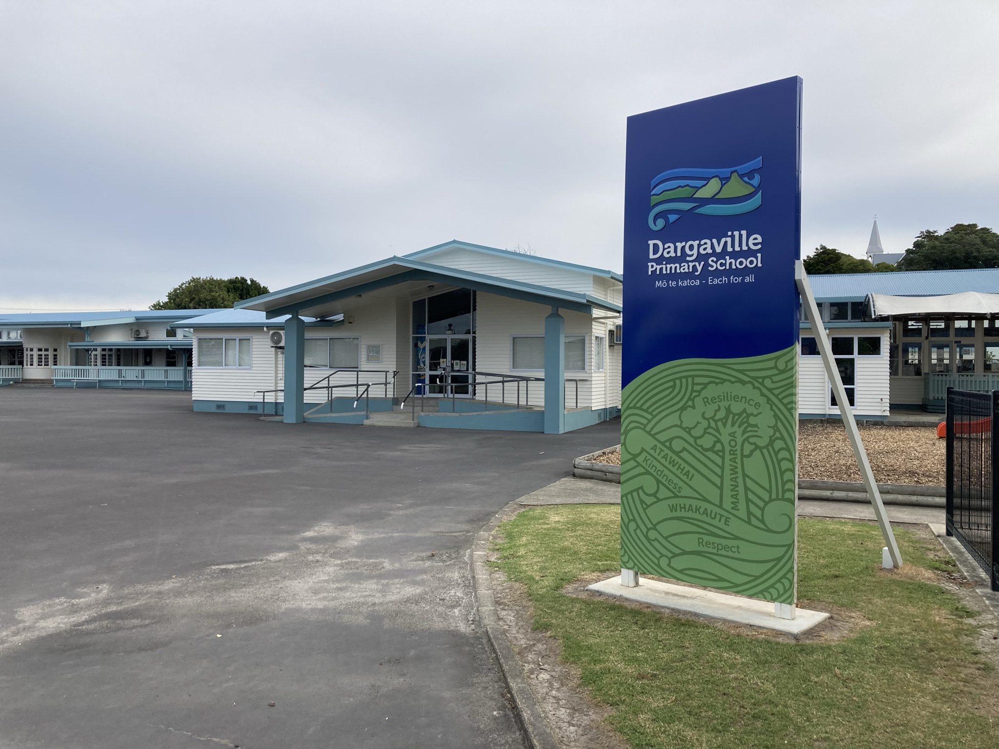
Dargaville Primary School and Selwyn Park School are contributing primary (years 1–6) schools with rolls of 377 students[28] and 109 students[29] respectively. Dargaville Primary was established by 1877. In 1879, it had a roll of 16, which grew to 155 in 1899.[30] Selwyn Park celebrated its 50th Jubilee in 2008.[31]
St Joseph's School is a full primary (years 1–8) school with a roll of 95 students.[32] It is a state integrated Catholic school.[33]
All these schools are coeducational. Rolls are as of July 2022.[34]
NorthTec polytechnic also has a campus in Dargaville.[35]
Notable people
- Amelia Batistich, writer, was born here in 1905[36]
- Joey Carbery, Irish international rugby union player
- Robert Hornblow (1861–1937), the town's mayor from 1919 to 1925[37]
- Dion Nash, New Zealand cricketer, attended Dargaville High School
- Mike Perjanik, musician, record producer and composer
- Winston Peters, New Zealand politician and leader of the New Zealand First party, attended Dargaville High School
- Lana Searle, New Zealand radio & television host, attended Dargaville High School[38]
- Mark Taylor, All Black
- Frank Watkins, World War II RNZAF pilot
- Mark Williams, singer and recording artist
- Brian Froggatt, New Zealand Paralympian athlete and powerlifter[39]
- Richard Hammond, musician, bass player.[40]
See also
- Croatian New Zealanders
Notes
- "ArcGIS Web Application". statsnz.maps.arcgis.com. Retrieved 6 May 2022.
- "Subnational population estimates (RC, SA2), by age and sex, at 30 June 1996-2021 (2021 boundaries)". Statistics New Zealand. Retrieved 22 October 2021. (regional councils); "Subnational population estimates (TA, SA2), by age and sex, at 30 June 1996-2021 (2021 boundaries)". Statistics New Zealand. Retrieved 22 October 2021. (territorial authorities); "Subnational population estimates (urban rural), by age and sex, at 30 June 1996-2021 (2021 boundaries)". Statistics New Zealand. Retrieved 22 October 2021. (urban areas)
- "Dargaville | NZHistory, New Zealand history online". nzhistory.govt.nz. Retrieved 16 September 2022.
- Taonga, New Zealand Ministry for Culture and Heritage Te Manatu. "Dargaville and the Northern Wairoa". teara.govt.nz. Retrieved 16 September 2022.
- Discover New Zealand:A Wises Guide (9th ed.). 1994. p. 15.
- Taonga, New Zealand Ministry for Culture and Heritage Te Manatu. "Dargaville, Joseph McMullen". teara.govt.nz. Retrieved 28 November 2021.
- "Dalmatians making their mark 150 years on". Stuff (Dargaville News). 31 January 2009. Retrieved 11 September 2019.
- "Dargaville Museum". NZ Museums. Retrieved 16 September 2022.
- "From glory days to gone - BNZ bails out of Dargaville". NZ Herald. Retrieved 16 September 2022.
- "Statistical area 1 dataset for 2018 Census". Statistics New Zealand. March 2020. Dargaville (109300). 2018 Census place summary: Dargaville
- Carbery, Sara. "Te Kaitiaki Toheroa". Retrieved 1 August 2018.
- "Climate: Dargaville – Climate graph, Temperature graph, Climate table". Climate-Data.org. Retrieved 23 January 2014.
- "Dargaville, New Zealand: Climate, Global Warming, and Daylight Charts and Data". Climate Charts. Archived from the original on 19 September 2013. Retrieved 23 January 2014.
- "Dargaville Hospital, 77 Awakino Road, Dargaville • Healthpoint". www.healthpoint.co.nz. Retrieved 16 September 2022.
- "Dargaville Hospital | Northland DHB". www.northlanddhb.org.nz. Retrieved 16 September 2022.
- Annette Lamby (2 November 2015). "Rail cart venture ready to roll in Dargaville". Stuff. Retrieved 21 March 2019.
- "Contact Us, Kaipara District Council". www.kaipara.govt.nz. Retrieved 16 September 2022.
- Council, Northland Regional. "New $9.2M Dargaville council base opens - Northland Regional Council". www.nrc.govt.nz. Retrieved 16 September 2022.
- "Northland - Electorate Profile - New Zealand Parliament". www.parliament.nz. Retrieved 16 September 2022.
- "Search the List | Aratapu Public Library (Former) | Heritage New Zealand". www.heritage.org.nz. Retrieved 16 September 2022.
- "KAIPARA". ent.kotui.org.nz. Retrieved 16 September 2022.
- "WELCOME". DARGAVILLE ARTS ASSOCIATION INC. Retrieved 16 September 2022.
- "Te Kāhui Māngai directory". tkm.govt.nz. Te Puni Kōkiri.
- "Māori Maps". maorimaps.com. Te Potiki National Trust.
- Education Counts: Dargaville High School
- Ryburn, Wayne (1999). Tall Spars, Steamers & Gum. Auckland, N.Z.: Kaipara Publications. p. 165. ISBN 0-473-06176-7.
- Education Counts: Dargaville Intermediate School
- Education Counts: Dargaville Primary School
- Education Counts: Selwyn Park School
- Ryburn, p 222
- "Selwyn Park pupils, past and present, celebrate 50 years". Northern Advocate. 1 May 2008.
- Education Counts: St Joseph's School
- "Principal's Message". St Joseph's School. Archived from the original on 14 October 2008.
- "New Zealand Schools Directory". New Zealand Ministry of Education. Retrieved 19 August 2022.
- "Dargaville". NorthTec. Archived from the original on 5 June 2009. Retrieved 4 March 2010.
- Obituary: Amelia Batistich, 2004, Life & Stylem NZ Herald News, Retrieved 30 April 2016
- "Mr R. E. Hornblow". The New Zealand Herald. Vol. LXXIV, no. 22866. 22 October 1937. p. 14. Retrieved 7 September 2016.
- "Greek theme a real ball". Dargaville News. 31 January 2009.
- "List of Paralympians". Archived from the original on 22 January 2016.
- "Home". www.richard-hammond.com.
External links
| Authority control |
|
|---|
На других языках
[de] Dargaville
Dargaville ist eine Stadt im Kaipara District der Region Northland auf der Nordinsel von Neuseeland. Der Kaipara District Council hat seinen Sitz in der Stadt.- [en] Dargaville
[ru] Даргавилл
Даргавилл — город на острове Северный в Новой Зеландии. Расположен на берегу реки Уаироа в регионе Нортленд в 55 км к юго-западу от Фангареи.Другой контент может иметь иную лицензию. Перед использованием материалов сайта WikiSort.org внимательно изучите правила лицензирования конкретных элементов наполнения сайта.
WikiSort.org - проект по пересортировке и дополнению контента Википедии