world.wikisort.org - Netherlands
Wahlwiller (Limburgish: Wilder [ˈwɪldəʀ]) is a village in the Dutch province of Limburg. It is located in the municipality of Gulpen-Wittem.[3] The village is located south of the Selzerbeek.
Wahlwiller | |
|---|---|
Village | |
 | |
 Wahlwiller Location in the Netherlands  Wahlwiller Location in the province of Limburg in the Netherlands | |
| Coordinates: 50°48′42″N 5°56′13″E | |
| Country | Netherlands |
| Province | Limburg |
| Municipality | Gulpen-Wittem |
| Area | |
| • Total | 0.41 km2 (0.16 sq mi) |
| Elevation | 93 m (305 ft) |
| Population (2021)[1] | |
| • Total | 390 |
| • Density | 950/km2 (2,500/sq mi) |
| Time zone | UTC+1 (CET) |
| • Summer (DST) | UTC+2 (CEST) |
| Postal code | 6286[1] |
| Dialing code | 043 |
The name of the village is derived from villare, what means "belonging to a villa". In the 14th century the village is mentioned under names as Waelwilre, Wailwilre and Walwilre. The prefix "wael" indicates that the inhabitants were speaking a Walloon language.[4]
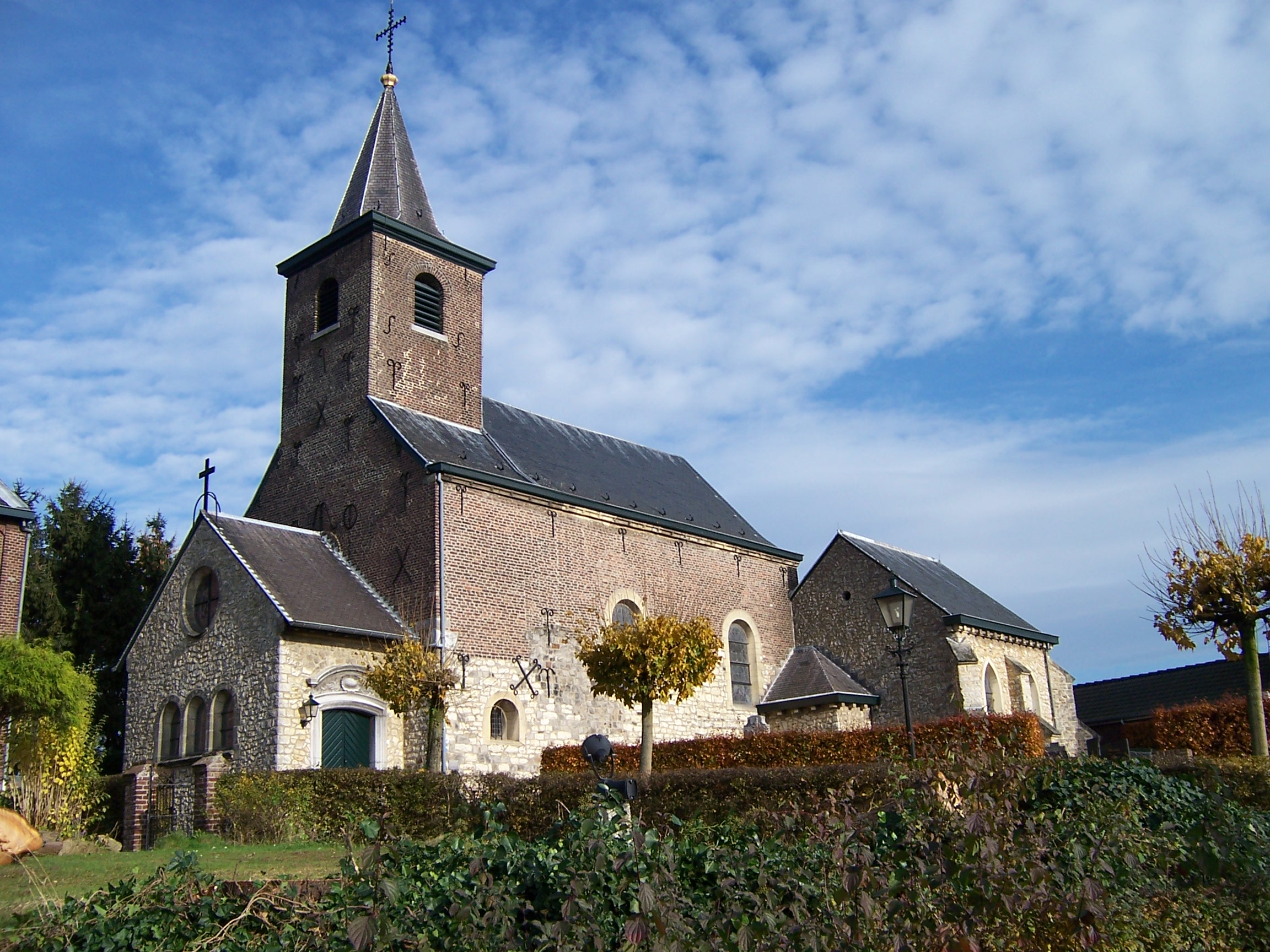
Wahlwiller is a road village which developed in the Middle Ages on the road from Maastricht to Aachen. It became an independent parish in 1835. The Catholic St Cunibertus Church is a single-aisled church with a small tower. The church up to the windows dates from the 12th century. It has been enlarged and renovated several times.[5]
On the northern side of the village lies the Kruisberg, of Amstel Gold Race fame.[3]
Gallery
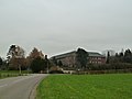 Arnold Janssen Monastery
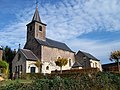 Cunibertus Church
 Road cross on the Botterweck street


References
- "Kerncijfers wijken en buurten 2021". Central Bureau of Statistics. Retrieved 24 April 2022.
- "Postcodetool for 6286AA". Actueel Hoogtebestand Nederland (in Dutch). Het Waterschapshuis. Retrieved 24 April 2022.
- ANWB Topografische Atlas Nederland, Topografische Dienst and ANWB, 2005.
- (in Dutch) Wahlwiller
- Sabine Broekhoven, & Ronald Stenvert (2003). Wahlwiller (in Dutch). Zwolle: Waanders. ISBN 90 400 9623 6. Retrieved 24 April 2022.
External links
- (in Dutch) Website Heemkunde Wahlwiller
This Dutch Limburg location article is a stub. You can help Wikipedia by expanding it. |
Другой контент может иметь иную лицензию. Перед использованием материалов сайта WikiSort.org внимательно изучите правила лицензирования конкретных элементов наполнения сайта.
WikiSort.org - проект по пересортировке и дополнению контента Википедии