world.wikisort.org - Netherlands
Stede Broec (Dutch: [ˌsteːdə ˈbruk] (![]() listen); West Frisian: Stee Broek) is a municipality in the Netherlands, in the province of North Holland and the region of West-Frisia. The name Stede Broec derives from stede (meaning city) and broec (meaning swamp).
listen); West Frisian: Stee Broek) is a municipality in the Netherlands, in the province of North Holland and the region of West-Frisia. The name Stede Broec derives from stede (meaning city) and broec (meaning swamp).
Stede Broec | |
|---|---|
Municipality | |
 Broekerhaven waterway | |
 Flag Coat of arms | |
 Location in North Holland | |
| Coordinates: 52°42′N 5°14′E | |
| Country | Netherlands |
| Province | North Holland |
| Established | 1 January 1979 |
| Government | |
| • Body | Municipal council |
| • Mayor | Ronald Wortelboer (VVD) |
| Area | |
| • Total | 16.37 km2 (6.32 sq mi) |
| • Land | 14.50 km2 (5.60 sq mi) |
| • Water | 1.87 km2 (0.72 sq mi) |
| Elevation | −1 m (−3 ft) |
| Population (January 2019)[4] | |
| • Total | 21,706 |
| • Density | 1,497/km2 (3,880/sq mi) |
| Time zone | UTC+1 (CET) |
| • Summer (DST) | UTC+2 (CEST) |
| Postcode | 1610–1614 |
| Area code | 0228 |
| Website | www |
Population centres
The municipality of Stede Broec consists of the following cities, towns, villages and/or districts:
- Bovenkarspel
- Grootebroek
- Lutjebroek.
Topography
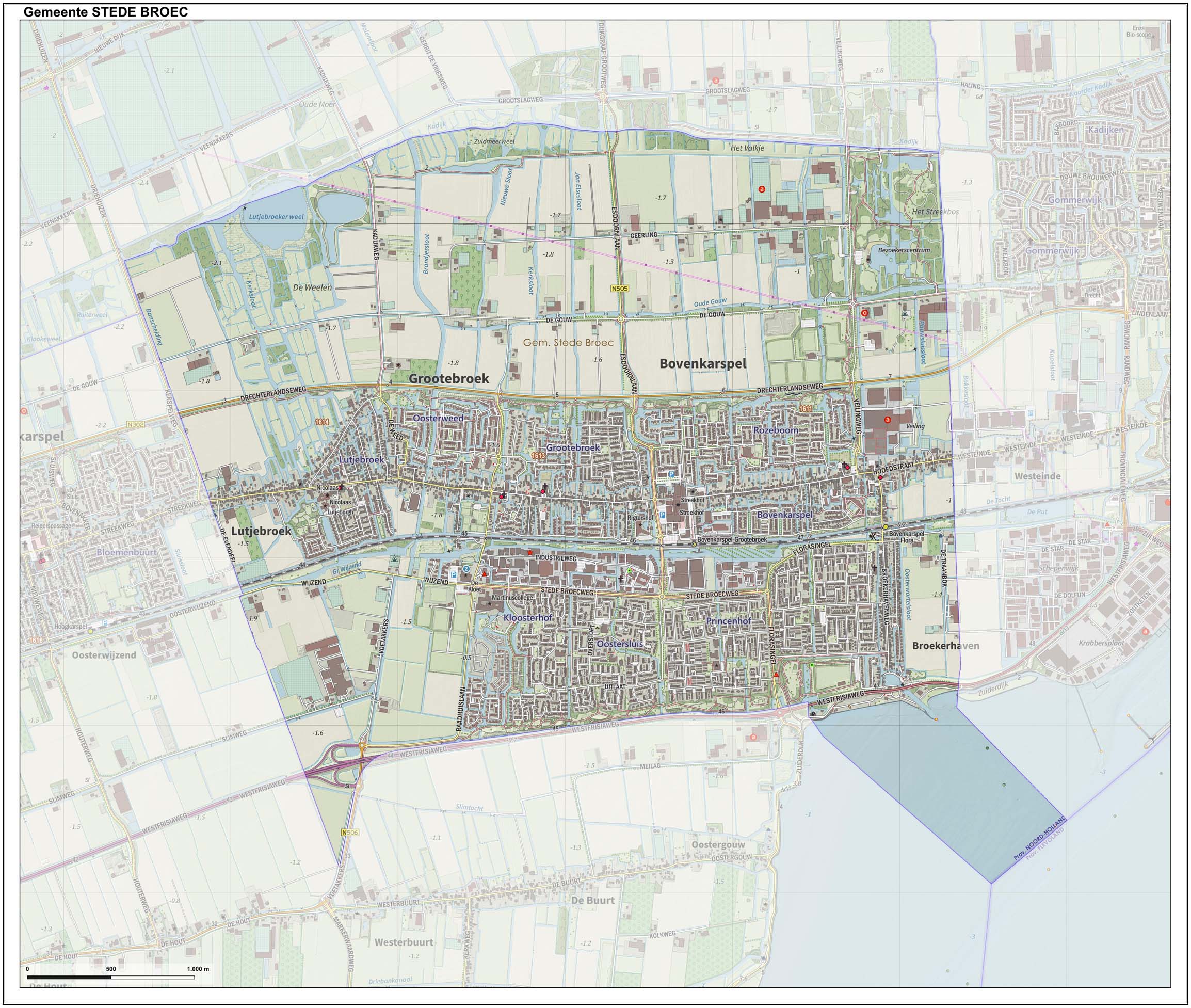
Dutch topographic map of the municipality of Stede Broec, June 2015
History
Grootebroek and Bovenkarspel together received city rights in 1364, under the name of Broek. In 1402 Lutjebroek shared in the city rights and Hoogkarspel joined in 1403. Andijk was the fifth to join in 1786. In 1825 the city was dissociated.
Stede Broec is located in the region of West Friesland consisting of all the land surrounded by the Westfriese Omringdijk, a dike which then protected the land against the dangers of the tides of the Zuider Zee.
Local government
The municipal council of Stede Broec consists of 19 seats, which are divided as follows (as of March 3, 2010):
- CDA - 5 seats
- Open en Duidelijk Stede Broec - 4 seats
- PvdA/GroenLinks - 3 seats
- Gemeentebelangen - 2 seats
- Onafhankelijke Partij - 2 seats
- VVD - 2 seats
Notable people
- Johannes Willebrands (1909 in Bovenkarspel – 2006) a Dutch Cardinal of the Roman Catholic Church
- Trudy van den Berg (born 1947 in Grootebroek) singer with Dutch vocal duo Saskia & Serge
- Ed Groot (born 1957 in Grootebroek) a Dutch politician and former journalist, columnist and civil servant
- Ria Brieffies (1957 in Lutjebroek - 2009) a Dutch singer with girl group Dolly Dots
- Nina Buysman (born 1997 in Bovenkarspel) a Dutch racing cyclist
Gallery
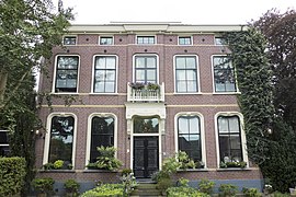 Zesstedenweg, te Grootebroek
 Bevrijdingsmonument, Grootebroek
 P.J. Jongstraat, Lutjebroek
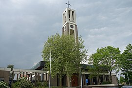 Sint Martinuskerk, Bovenkarspel


References
- "Portefeuilleverdeling College" [Tasks division of the board] (in Dutch). Gemeente Stede Broec. Archived from the original on 7 March 2014. Retrieved 7 March 2014.
- "Kerncijfers wijken en buurten 2020" [Key figures for neighbourhoods 2020]. StatLine (in Dutch). CBS. 24 July 2020. Retrieved 19 September 2020.
- "Postcodetool for 1611KW". Actueel Hoogtebestand Nederland (in Dutch). Het Waterschapshuis. Retrieved 7 March 2014.
- "Bevolkingsontwikkeling; regio per maand" [Population growth; regions per month]. CBS Statline (in Dutch). CBS. 1 January 2019. Retrieved 1 January 2019.
External links
 Media related to Stede Broec at Wikimedia Commons
- Official website
Places adjacent to Stede Broec | ||||||||||||||||
|---|---|---|---|---|---|---|---|---|---|---|---|---|---|---|---|---|
| ||||||||||||||||
Municipalities of North Holland | ||
|---|---|---|
|  | |
| ||
| Authority control |
|
|---|
На других языках
- [en] Stede Broec
[ru] Стеде-Брук
Стеде-Брук (нидерл. Stede Broec) — община в нидерландской провинции Северная Голландия. Расположена к северу от Амстердама. Площадь общины — 16,42 км², из них 14,77 км² составляет суша. Население по данным на 1 января 2007 года — 21 343 человека. Средняя плотность населения — 1299,8 чел/км². Название общины происходит от слов «stede» (город) и «broec» (болото).Другой контент может иметь иную лицензию. Перед использованием материалов сайта WikiSort.org внимательно изучите правила лицензирования конкретных элементов наполнения сайта.
WikiSort.org - проект по пересортировке и дополнению контента Википедии