world.wikisort.org - Netherlands
Sebaldeburen is a village in the Westerkwartier municipality in the Dutch province of Groningen. It had a population of around 590 in January 2017.[3]
Sebaldeburen | |
|---|---|
Village | |
 Sebaldeburen church | |
 Sebaldeburen Location of the village in the province of Groningen  Sebaldeburen Sebaldeburen (Netherlands) | |
| Coordinates: 53°13′N 6°17′E | |
| Country | Netherlands |
| Province | Groningen |
| Municipality | Westerkwartier |
| Area | |
| • Total | 5.82 km2 (2.25 sq mi) |
| Elevation | 0.3 m (1.0 ft) |
| Population (2021)[1] | |
| • Total | 565 |
| • Density | 97/km2 (250/sq mi) |
| Postal code | 9862[1] |
| Dialing code | 0594 |
History
The village was first mentioned in the 13th century as "in Sibaldebuere hove", and means "settlement of Sibald (person)".[4] Sebaldeburen is a road village which developed in the Middle Ages on a sandy ridge.[5]
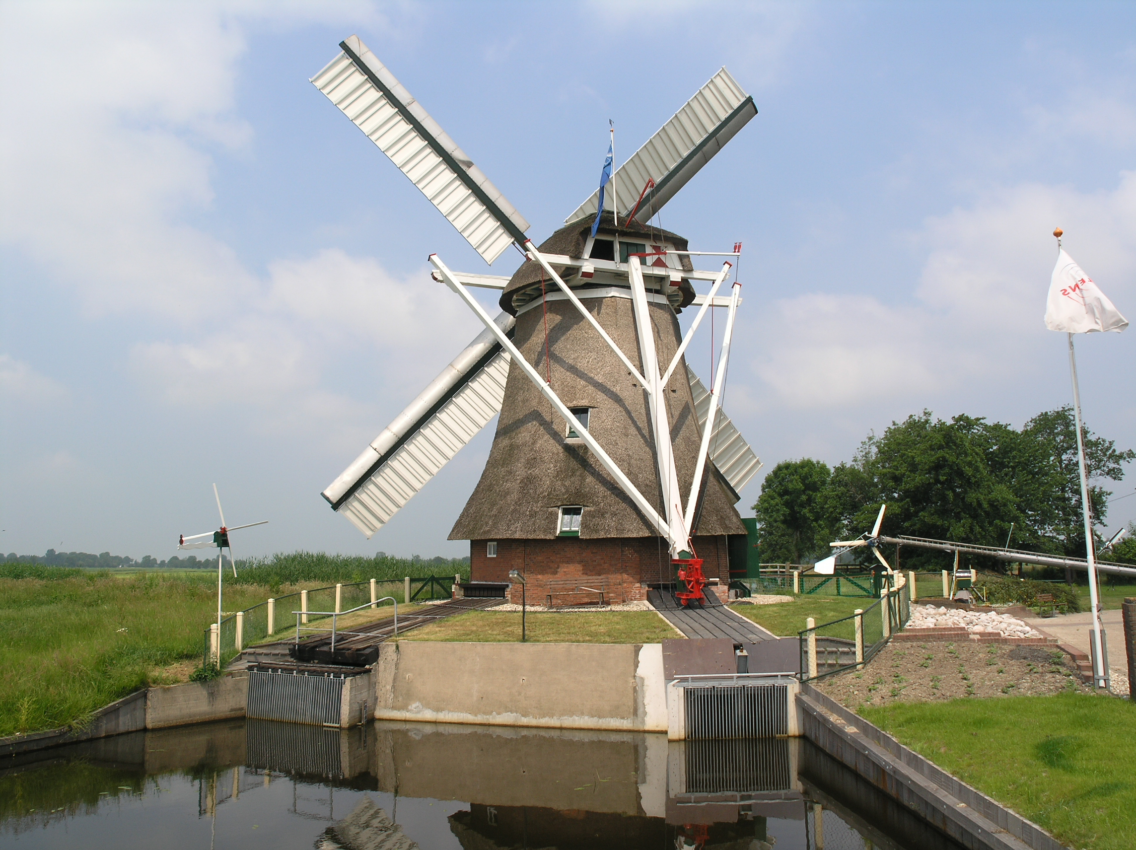
The Dutch Reformed church was built in 1807. The polder mill De Eendracht dates from 1887 as the replacement of a mill from 1801 which burnt down.[5]
Sebaldeburen used to be the capital of the Langewold region. In 1811 it became part of the municipality of Grootegast. It was home to 278 people in 1840.[6]
Gallery
 Former clergy house
 Windmill in Sebaldeburen

References
- "Kerncijfers wijken en buurten 2021". Central Bureau of Statistics. Retrieved 9 April 2022.
two entries
- "Postcodetool for 9862PA". Actueel Hoogtebestand Nederland (in Dutch). Het Waterschapshuis. Retrieved 8 April 2022.
- Kerncijfers wijken en buurten 2017 - CSB Statline
- "Sebaldeburen - (geografische naam)". Etymologiebank (in Dutch). Retrieved 9 April 2022.
- Ronald Stenvert & Redmer Alma (1998). "Sebaldeburen" (in Dutch). Zwolle: Waanders. ISBN 90 400 9258 3. Retrieved 9 April 2022.
- "Sebaldeburen". Plaatsengids (in Dutch). Retrieved 9 April 2022.
External links
 Media related to Sebaldeburen at Wikimedia Commons
This Groningen location article is a stub. You can help Wikipedia by expanding it. |
Текст в блоке "Читать" взят с сайта "Википедия" и доступен по лицензии Creative Commons Attribution-ShareAlike; в отдельных случаях могут действовать дополнительные условия.
Другой контент может иметь иную лицензию. Перед использованием материалов сайта WikiSort.org внимательно изучите правила лицензирования конкретных элементов наполнения сайта.
Другой контент может иметь иную лицензию. Перед использованием материалов сайта WikiSort.org внимательно изучите правила лицензирования конкретных элементов наполнения сайта.
2019-2026
WikiSort.org - проект по пересортировке и дополнению контента Википедии
WikiSort.org - проект по пересортировке и дополнению контента Википедии