world.wikisort.org - Netherlands
Rucphen (pronounced [ˈrʏkfə(n)] (![]() listen)) is a municipality and a town in the southern Netherlands between Roosendaal and Etten-Leur, south of the railway, but without a train-station.
listen)) is a municipality and a town in the southern Netherlands between Roosendaal and Etten-Leur, south of the railway, but without a train-station.
Rucphen | |
|---|---|
Municipality | |
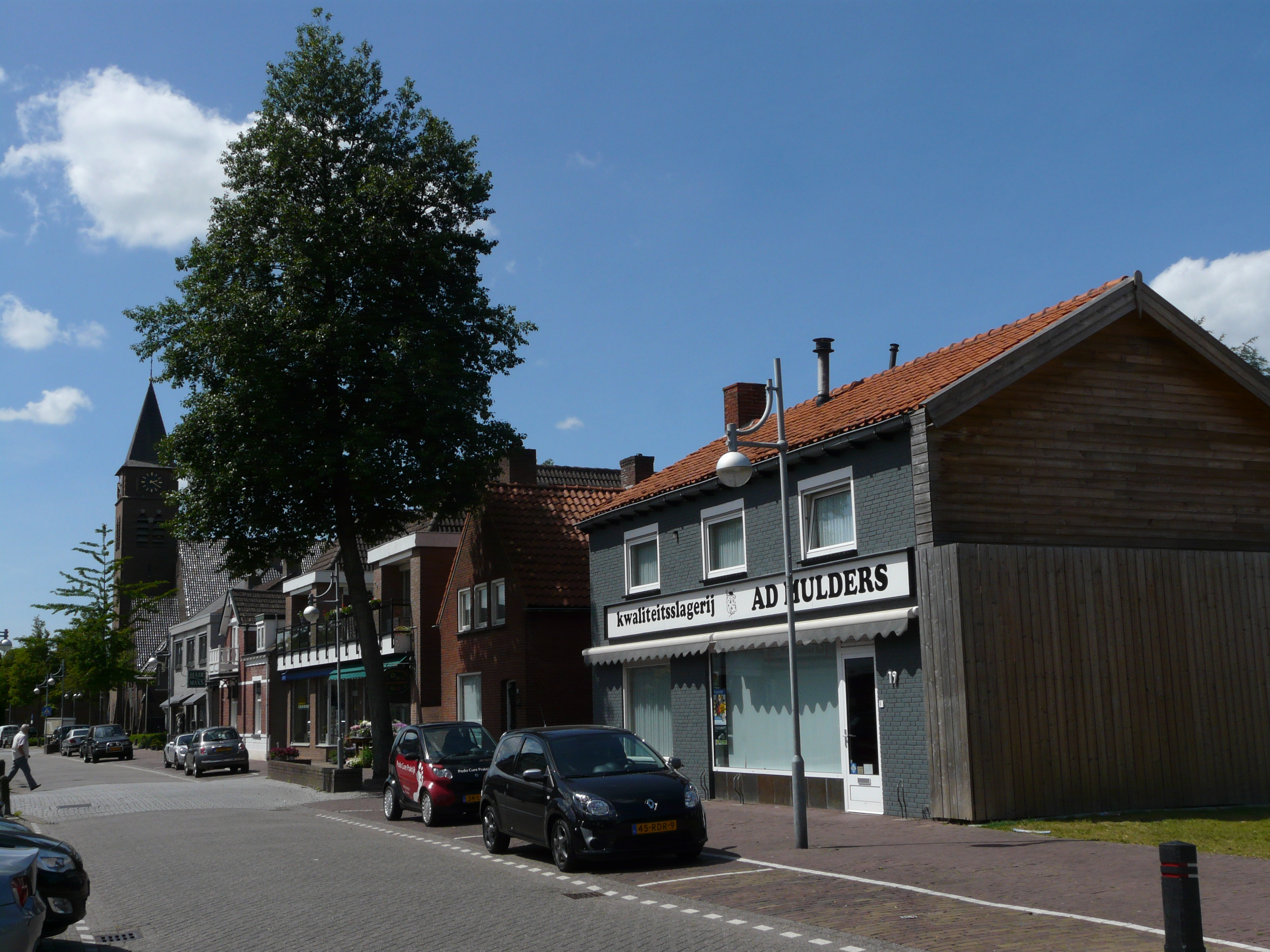 Street through Rucphen | |
 Flag  Coat of arms | |
 Location in North Brabant | |
| Coordinates: 51°32′N 4°35′E | |
| Country | Netherlands |
| Province | North Brabant |
| Government | |
| • Body | Municipal council |
| • Mayor | Marjolein van der Meer-Mohr (VVD) |
| Area | |
| • Total | 64.48 km2 (24.90 sq mi) |
| • Land | 64.41 km2 (24.87 sq mi) |
| • Water | 0.07 km2 (0.03 sq mi) |
| Elevation | 10 m (30 ft) |
| Population (January 2019)[4] | |
| • Total | 22,572 |
| • Density | 350/km2 (900/sq mi) |
| Demonym(s) | Rucphenaar |
| Time zone | UTC+1 (CET) |
| • Summer (DST) | UTC+2 (CEST) |
| Postcode | 4710–4722, 4735 |
| Area code | 0165 |
| Website | www |
Population centres
- Sint Willebrord ('t Heike) (pop.: 9,320)
- Sprundel (5,090)
- Rucphen (4,580)
- Zegge (2,210)
- Schijf (1,430)
Topography

Dutch Topographic map of the municipality of Rucphen, June 2015
Notable people
- Hendrik Detmers (1761 in Sprundel – 1825) a Dutch general in the Battle of Waterloo
- Dick Jaspers (born 1965 in Sint Willebrord) a Dutch professional carom billiards player
- John Kerstens (born 1965 in Zegge) a Dutch politician and former trade union leader
- Donny Gorter (born 1988) a Dutch professional footballer with over 200 club caps
- Tessa ter Sluis (born 1995 in Sint Willebrord) a Dutch professional squash player
Gallery
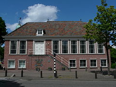 Oude Raadhuis van Rucphen
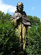 Heilig Hartbeeld aan de zijkant van de Martinuskerk in Rucphen
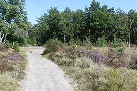 Rucphense Heide
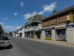 Dorpsstraat in Sint Willebrord


See also
- Heikant, Rucphen
References
- "mr. Marjolein van der Meer Mohr" (in Dutch). Gemeente Rucphen. Archived from the original on 6 June 2014. Retrieved 3 June 2014.
- "Kerncijfers wijken en buurten 2020" [Key figures for neighbourhoods 2020]. StatLine (in Dutch). CBS. 24 July 2020. Retrieved 19 September 2020.
- "Postcodetool for 4715RK". Actueel Hoogtebestand Nederland (in Dutch). Het Waterschapshuis. Retrieved 3 June 2014.
- "Bevolkingsontwikkeling; regio per maand" [Population growth; regions per month]. CBS Statline (in Dutch). CBS. 1 January 2019. Retrieved 1 January 2019.
External links
 Media related to Rucphen at Wikimedia Commons
- Official website
Places adjacent to Rucphen | ||||||||||||||||
|---|---|---|---|---|---|---|---|---|---|---|---|---|---|---|---|---|
| ||||||||||||||||
Municipalities of North Brabant | ||
|---|---|---|
|  | |
| ||
This North Brabant location article is a stub. You can help Wikipedia by expanding it. |
Текст в блоке "Читать" взят с сайта "Википедия" и доступен по лицензии Creative Commons Attribution-ShareAlike; в отдельных случаях могут действовать дополнительные условия.
Другой контент может иметь иную лицензию. Перед использованием материалов сайта WikiSort.org внимательно изучите правила лицензирования конкретных элементов наполнения сайта.
Другой контент может иметь иную лицензию. Перед использованием материалов сайта WikiSort.org внимательно изучите правила лицензирования конкретных элементов наполнения сайта.
2019-2026
WikiSort.org - проект по пересортировке и дополнению контента Википедии
WikiSort.org - проект по пересортировке и дополнению контента Википедии