world.wikisort.org - Netherlands
Molenwaard [4](Dutch pronunciation: [ˈmoːlə(ɱ)ˌʋaːrt]) is a former municipality in the western Netherlands, in the southeastern part of the province of South Holland, and the northwestern part of the region of Alblasserwaard. It was the result of a merger of the municipalities of Graafstroom, Liesveld, and Nieuw-Lekkerland on 1 January 2013. On 1 January 2019 it merged with Giessenlanden, together they form the new municipality of Molenlanden.[5] Molenwaard had about 29,000 inhabitants and an area of about 126 km2 (49 sq mi). The largest settlements are Bleskensgraaf, Groot-Ammers, and Nieuw-Lekkerland.
Molenwaard | |
|---|---|
Former municipality | |
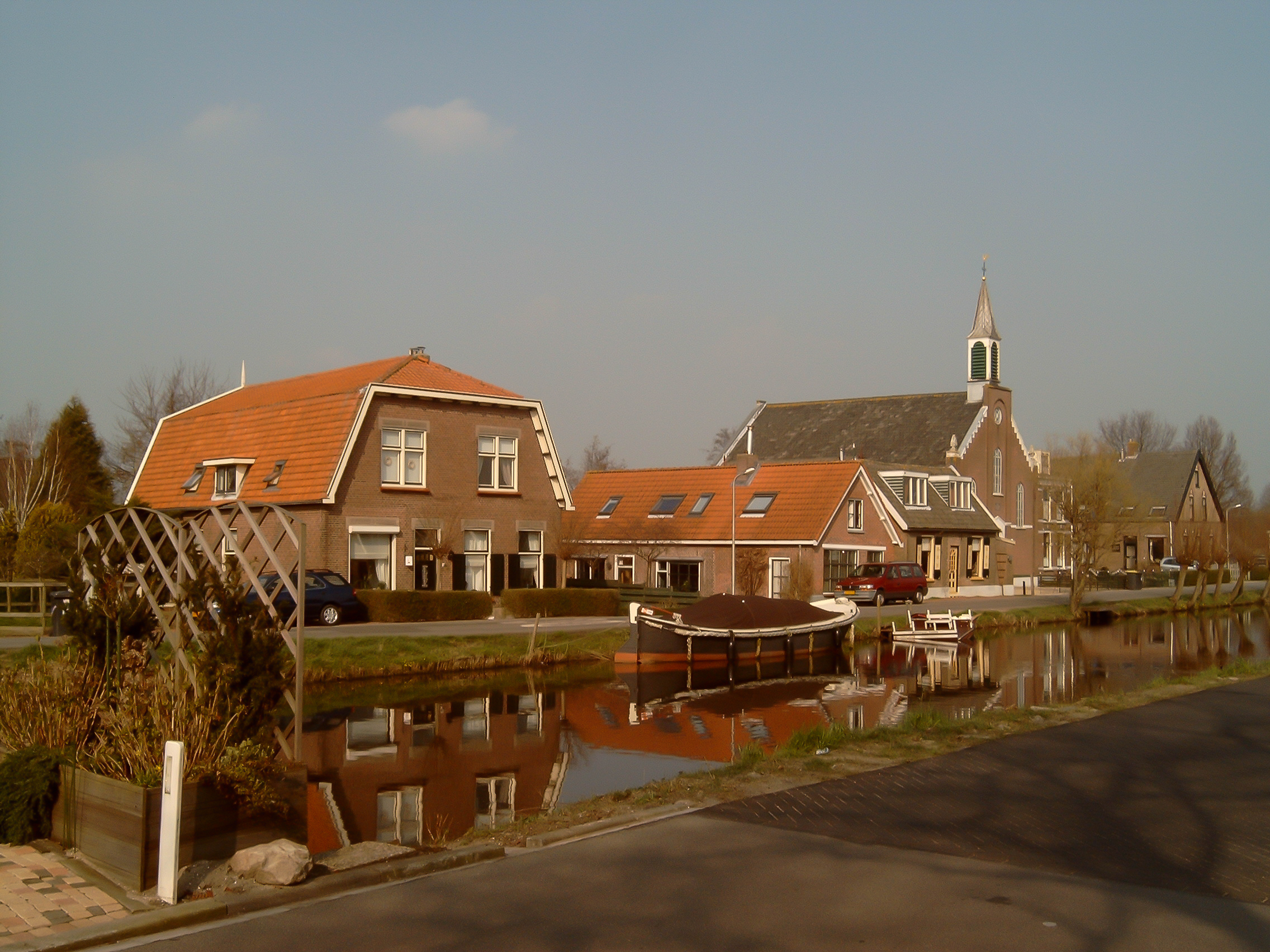
 A view of Kinderdijk at sunrise | |
 Flag Coat of arms | |
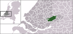 Location in South Holland | |
| Coordinates: 51°52′N 4°47′E | |
| Country | Netherlands |
| Province | South Holland |
| Municipality | Molenlanden |
| Established | 1 January 2013[1] |
| Merged | 2019 |
| Area | |
| • Total | 126.47 km2 (48.83 sq mi) |
| • Land | 118.29 km2 (45.67 sq mi) |
| • Water | 8.18 km2 (3.16 sq mi) |
| Elevation | −1 m (−3 ft) |
| Time zone | UTC+1 (CET) |
| • Summer (DST) | UTC+2 (CEST) |
| Postcode | 2957–2977 |
| Area code | 0184 |
| Website | www |


Molenwaard can be characterized as a landscape of polders existing of vast pastures traversed by ditches and canals, like the Groote- of Achterwaterschap, and the Ammersche Boezem. In the outermost northwest one can find the famous windmills of Kinderdijk. About 1.5 m below sea level, the municipality is bordered by the Lek river in the north and briefly the Noord river in the west. On its area flows the Graafstroom or the Alblas.
Religiously, the municipality is part of the Bible Belt, resulting in the dominance of the Christian parties in politics.
Localities
Molenwaard consists of the following settlements:
Topography

Dutch Topographic map of the municipality of Molenwaard, June 2015
Politics
The municipal council of Molenwaard consists of 21 seats, which are divided as follows:
| Municipal council seats | |||||||||||||||
|---|---|---|---|---|---|---|---|---|---|---|---|---|---|---|---|
| Party | 2013 | ||||||||||||||
| Reformed Political Party (SGP) | 5 | ||||||||||||||
| Christian Democratic Appeal (CDA) | 5 | ||||||||||||||
| ChristianUnion (CU) | 4 | ||||||||||||||
| Labour Party (PvdA) | 3 | ||||||||||||||
| Gemeentebelangen Molenwaard | 2 | ||||||||||||||
| People's Party for Freedom and Democracy (VVD) | 2 | ||||||||||||||
| Total | 21 | ||||||||||||||
Notable people


- Johannes Gysius (ca. 1583 – 1652 in Streefkerk) a Dutch historian and minister
- Fop Smit (1777 in Alblasserdam – 1866) a Dutch naval architect, shipbuilder, and shipowner
- Aart den Boer (1852 in Nieuw-Lekkerland – 1941) a Dutch architect and contractor
- Simon Bon (1904 in Nieuwpoort – 1987) a Dutch rower, competed at the 1924 and 1928 Summer Olympics
- Herbertus Bikker (1915 in Wijngaarden – 2008) a Dutch war criminal and member of the Waffen-SS
- Els Veder-Smit (born 1921 in Kinderdijk) a retired Dutch politician
- Willem Aantjes (1923 in Bleskensgraaf – 2015) a Dutch politician and jurist
- Ad Dekkers (1938 in Nieuwpoort - 1974) a Dutch artist of reliefs
- Gert Schutte (born 1939 in Nieuwpoort) a retired Dutch politician and teacher
- Dirk van der Borg (born 1955 in Thesinge) a Dutch politician, Mayor of Molenwaard since 2013
- Corien Wortmann-Kool (born 1959 in Oud-Alblas) a Dutch politician and Member of the European Parliament
- Maarten Demmink (born in 1967 in Goudriaan) known as Demiak, is a Dutch painter, photographer and sculptor
- Merijn Korevaar (born 1994) and Jeanne Korevaar (born 1996) Dutch racing cyclists born in Groot-Ammers
References
- "Gemeentelijke indeling op 1 januari 2013" [Municipal divisions on 1 January 2013]. cbs.nl (in Dutch). CBS. Retrieved 14 August 2013.
- "Kerncijfers wijken en buurten 2020" [Key figures for neighbourhoods 2020]. StatLine (in Dutch). CBS. 24 July 2020. Retrieved 19 September 2020.
- "Postcodetool for 2971VR". Actueel Hoogtebestand Nederland (in Dutch). Het Waterschapshuis. Retrieved 14 August 2013.
- Molenwaard is derived from 'molen' (mill) and 'waard' (flat riverland). The flat municipality of Molenwaard consists of a lot of windmills.
- "Herindeling Molenwaard-Giessenlanden". Retrieved 3 January 2019.
External links
- (in Dutch) Official website
Places adjacent to Molenwaard | ||||||||||||||||
|---|---|---|---|---|---|---|---|---|---|---|---|---|---|---|---|---|
| ||||||||||||||||
| Authority control |
|
|---|
На других языках
[de] Molenwaard
Vorlage:Infobox Ort in den Niederlanden/Wartung/Typ falsch gesetzt- [en] Molenwaard
[ru] Моленвард
Моленвард (нидерл. Molenwaard) — община в западной части Нидерландов, в юго-восточной части провинции Южная Голландия. Появилась 1 января 2013 года в результате слияния общин Графстром, Лисвелд и Ньив-Леккерланд.Другой контент может иметь иную лицензию. Перед использованием материалов сайта WikiSort.org внимательно изучите правила лицензирования конкретных элементов наполнения сайта.
WikiSort.org - проект по пересортировке и дополнению контента Википедии