world.wikisort.org - Netherlands
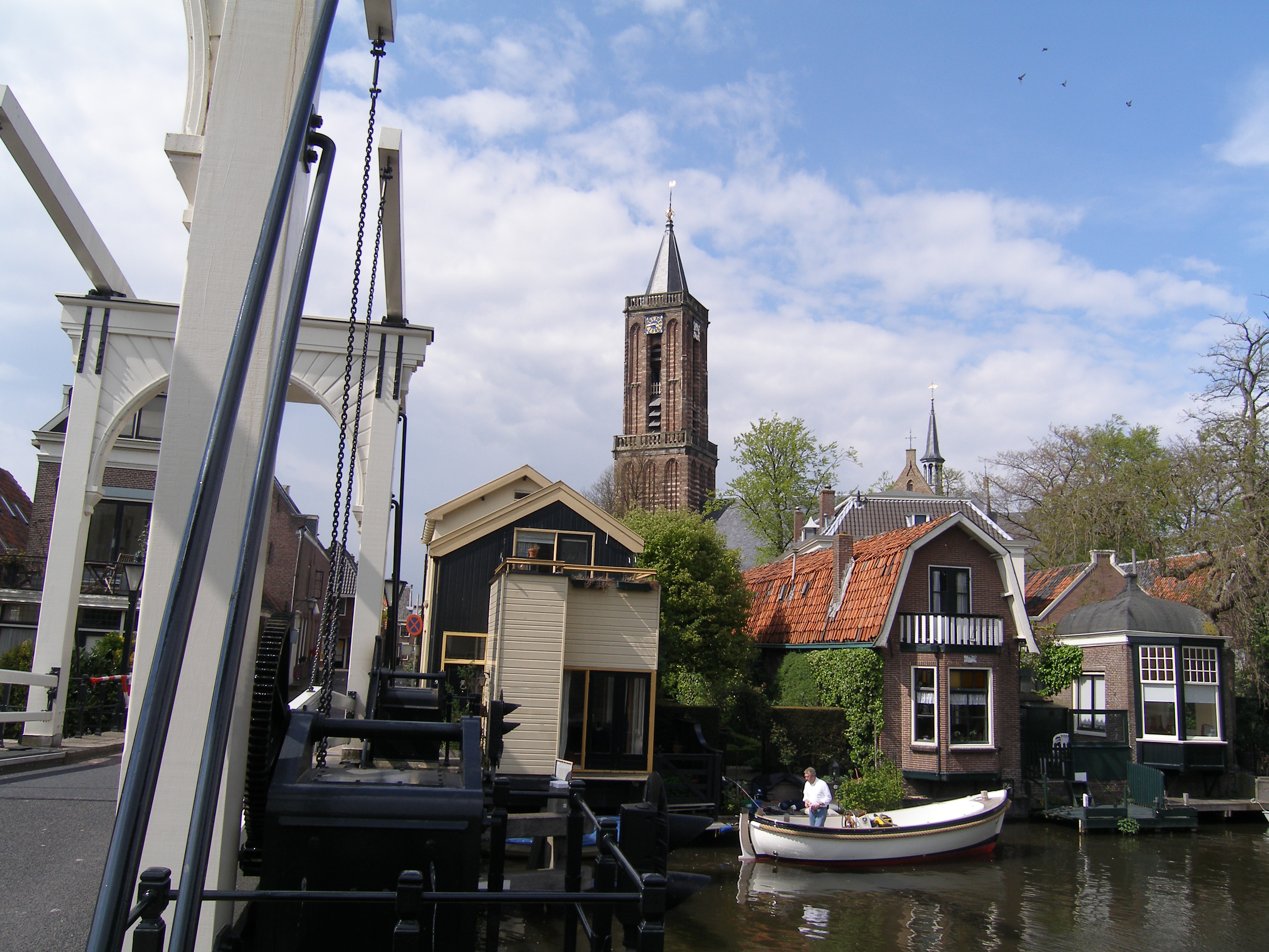
Loenen (Dutch pronunciation: [ˈlunə(n)] (![]() listen)) is a former municipality in the Netherlands, in the province of Utrecht. It was in the Vechtstreek area. On January 1, 2011, Loenen merged with Breukelen and Maarssen to form Stichtse Vecht.[1]
listen)) is a former municipality in the Netherlands, in the province of Utrecht. It was in the Vechtstreek area. On January 1, 2011, Loenen merged with Breukelen and Maarssen to form Stichtse Vecht.[1]
Loenen | |
|---|---|
Former municipality | |
 | |
 Flag Coat of arms | |
 | |
| Coordinates: 52°13′N 5°1′E | |
| Country | Netherlands |
| Province | Utrecht |
| Municipality | Stichtse Vecht |
| Area (2006) | |
| • Total | 27.32 km2 (10.55 sq mi) |
| • Land | 25.00 km2 (9.65 sq mi) |
| • Water | 2.32 km2 (0.90 sq mi) |
| Population (1 January 2007) | |
| • Total | 8,222 |
| • Density | 329/km2 (850/sq mi) |
| Source: CBS, Statline. | |
| Time zone | UTC+1 (CET) |
| • Summer (DST) | UTC+2 (CEST) |
| Website | www.loenen.nl |
Population centres
The former municipality of Loenen consisted of the following cities, towns, villages and districts:
- Loenen (aan de Vecht) (main town)
- Loenersloot
- Mijnden
- Nieuwerhoek
- Nieuwersluis
- Nigtevecht
- Vreeland
History
The earliest traceable mention of the game of golf refers to a game played in Loenen aan de Vecht. In his book Early Golf, Steven van Hengel describes how the game of "Colf" or "Kolf" was played in 1297 near the castle of Kronenburg. The players had to hit the castle door in as few strikes as possible from the Court House by hitting a ball with a stick.
References
- "Historische Kring Loenen". Utrecht Altijd (in Dutch). Retrieved 22 June 2020.
External links
- Official website (Dead link)
- A map of the former municipality (Dead link)
Authority control | |
|---|---|
| General |
|
| National libraries | |
This Utrecht location article is a stub. You can help Wikipedia by expanding it. |
Другой контент может иметь иную лицензию. Перед использованием материалов сайта WikiSort.org внимательно изучите правила лицензирования конкретных элементов наполнения сайта.
WikiSort.org - проект по пересортировке и дополнению контента Википедии