world.wikisort.org - Netherlands
Herten is a village in the southeastern Netherlands. It is located in the municipality of Roermond, Limburg.
Herten | |
|---|---|
Village | |
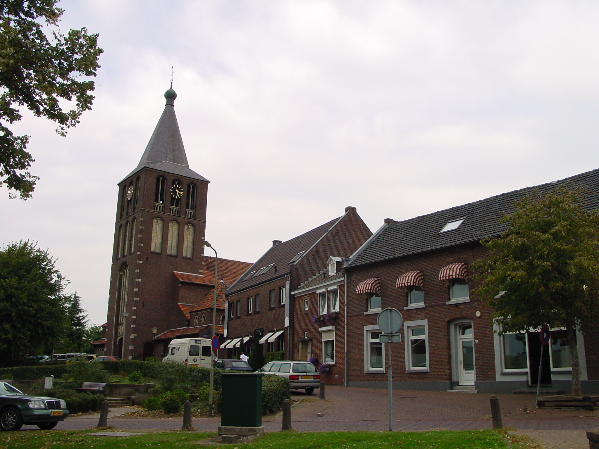 The centre of Herten, with the church of St. Michaël | |
 Herten Location in the Netherlands  Herten Location in the province of Limburg in the Netherlands | |
| Coordinates: 51°11′N 5°58′E | |
| Country | Netherlands |
| Province | Limburg |
| Municipality | Roermond |
| Area | |
| • Total | 1.11 km2 (0.43 sq mi) |
| Elevation | 22 m (72 ft) |
| Population (2021)[1] | |
| • Total | 3,350 |
| • Density | 3,000/km2 (7,800/sq mi) |
| Time zone | UTC+1 (CET) |
| • Summer (DST) | UTC+2 (CEST) |
| Postal code | 6049[1] |
| Dialing code | 0475 |
History
The village was first mentioned in the middle of the 11th century as Hercena. The etymology is unknown.[3] Herten developed in the Middle Ages along the Maas. In 1716, it became part of the Austrian Upper Guelders.[4]
The Catholic St Michael Church was originally from the 13th century. In 1881, the tower collapsed and a new church was built in Gothic Revival style. The church was completely destroyed in 1945, and a new church was built between 1953 and 1954 and was designed by Hendrik Willem Valk.[4]
Herten was home to 153 people in 1840.[5] It was severely damaged during World War II. After the war, it became a commuter's village for Roermond.[4] Herten was a separate municipality until 1991, when it was merged with Roermond.[6] The municipality also covered the smaller villages of Merum and Ool. Even though Roermond and Herten have formed a single urban area, Herten is a separate village.[5]
Gallery
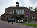 Former town hall

References
- "Kerncijfers wijken en buurten 2021". Central Bureau of Statistics. Retrieved 25 April 2022.
- "Postcodetool for 6049AA". Actueel Hoogtebestand Nederland (in Dutch). Het Waterschapshuis. Retrieved 25 April 2022.
- "Herten - (geografische naam)". Etymologiebank (in Dutch). Retrieved 25 April 2022.
- Sabine Broekhoven, & Ronald Stenvert (2003). Herten (in Dutch). Zwolle: Waanders. ISBN 90-400-9623-6. Retrieved 25 April 2022.
- "Herten". Plaatsengids (in Dutch). Retrieved 25 April 2022.
- Ad van der Meer and Onno Boonstra, "Repertorium van Nederlandse gemeenten", KNAW, 2006. "KNAW > Publicaties > Detailpagina". Archived from the original on 2007-02-20. Retrieved 2009-12-03.
This Dutch Limburg location article is a stub. You can help Wikipedia by expanding it. |
Другой контент может иметь иную лицензию. Перед использованием материалов сайта WikiSort.org внимательно изучите правила лицензирования конкретных элементов наполнения сайта.
WikiSort.org - проект по пересортировке и дополнению контента Википедии