world.wikisort.org - Netherlands
Heinenoord is a village in the Dutch province of South Holland on the island Hoekse Waard. It is located about 10 km south of Rotterdam, in the municipality of Hoeksche Waard.[3]
Heinenoord | |
|---|---|
Village and former municipality | |
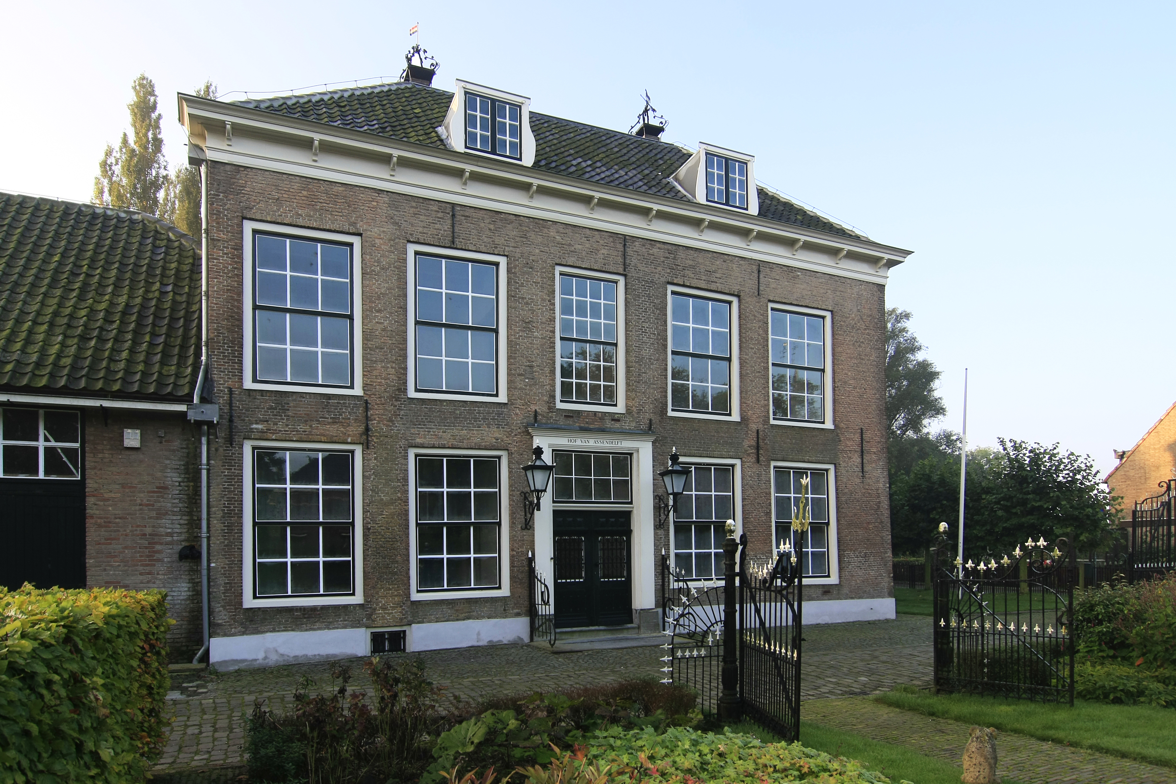 Local museum | |
 Coat of arms | |
 Heinenoord Location in the province of South Holland in the Netherlands  Heinenoord Location in the Netherlands | |
| Coordinates: 51°50′N 4°29′E | |
| Country | Netherlands |
| Province | South Holland |
| Municipality | Hoeksche Waard |
| Area | |
| • Total | 16.19 km2 (6.25 sq mi) |
| Elevation | 0.0 m (0.0 ft) |
| Population (2021)[1] | |
| • Total | 3,615 |
| • Density | 220/km2 (580/sq mi) |
| Time zone | UTC+1 (CET) |
| • Summer (DST) | UTC+2 (CEST) |
| Postal code | 3274[1] |
| Dialing code | 0186 |
Heinenoord was a separate municipality until 1984, when it became part of Binnenmaas. Since 1 January 2019, it is part of the new municipality Hoeksche Waard.[3] After 1855, the municipality also covered the village of Goidschalxoord.[4]
The Heinenoordtunnel is a road tunnel located near Heinenoord and is named after it.
There is also a bus station near Heinenoord called the Busstation Heinenoord which serves as a public transport hub in the Hoekse Waard.
Situation
Heinenoord is a village located on the island Hoeksche Waard in the province of South Holland. It is a Linear settlement, built on a dike. The neighbouring village Goidschalxoord, which is also a linear settlement, is a township of Heinenoord. Kuipersveer and Blaaksedijk are also townships of Heinenoord.
Since 14 November 1968, the Hoeksche Waard is connected with Barendrecht on the island of IJsselmonde through the Heinenoordtunnel.
History
The village was first mentioned in 1312 as "tot Heynekens orde", and means "land (near water) belonging to Heineken (person - diminutive of Hein)".[5]
In the Middle Ages, Heinenoord and its surroundings were known as "het Land van Wale". After the St. Elizabeth's flood (1421), Heinenoord was engulfed by the water. It recovered around 1437, when the land was reclaimed. Around that time the village of Heynkensort was founded. Together with Goidschalxoord and the townships Kuipersveer and Blaaksedijk it formed one municipality from 1855 until 1984.
On 17 February 1945, an angry mob shot the NSB-mayor M.A. Simonis from Nieuw-Beijerland on Heinenoord territory. The next day ten Dutchmen were executed by a German firing squad as reprisal, who were imprisoned in Scheveningen. On the same place in 1950, the monument moeder, Dutch for "mother", was unveiled.
Gallery
 Dutch Reformed church
 Sheep and a goat near Heinenoord
 Old harbour
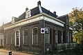 House in Heinenoord


References
- "Kerncijfers wijken en buurten 2021". Central Bureau of Statistics. Retrieved 3 May 2022.
- "Postcodetool for 3274AA". Actueel Hoogtebestand Nederland (in Dutch). Het Waterschapshuis. Retrieved 3 May 2022.
- Wet samenvoeging gemeenten Binnenmaas, Cromstrijen, Korendijk, Oud-Beijerland en Strijen, 11 July 2018, accessed at overheid.nl
- Ad van der Meer and Onno Boonstra, Repertorium van Nederlandse gemeenten, KNAW, 2011.
- "Heinenoord - (geografische naam)". Etymologiebank (in Dutch). Retrieved 3 May 2022.
На других языках
[de] Heinenoord
Heinenoord ist ein Ortsteil der Gemeinde Hoeksche Waard auf der gleichnamigen Insel in der niederländischen Provinz Südholland. Es ist zwischen Goidschalxoord und dem Blaaksedijk gelegen. Heineoord ist ein Deichdorf neben einem schmalen Deich. Bis zur Eingemeindung 1984 war der Ort selbständig. Am 1. Januar 2020 lebten hier 3.580 Einwohner.[1]- [en] Heinenoord
Другой контент может иметь иную лицензию. Перед использованием материалов сайта WikiSort.org внимательно изучите правила лицензирования конкретных элементов наполнения сайта.
WikiSort.org - проект по пересортировке и дополнению контента Википедии