world.wikisort.org - Netherlands
Foxwolde is a hamlet in the Netherlands and it is part of the Noordenveld municipality in Drenthe.
Foxwolde | |
|---|---|
Hamlet | |
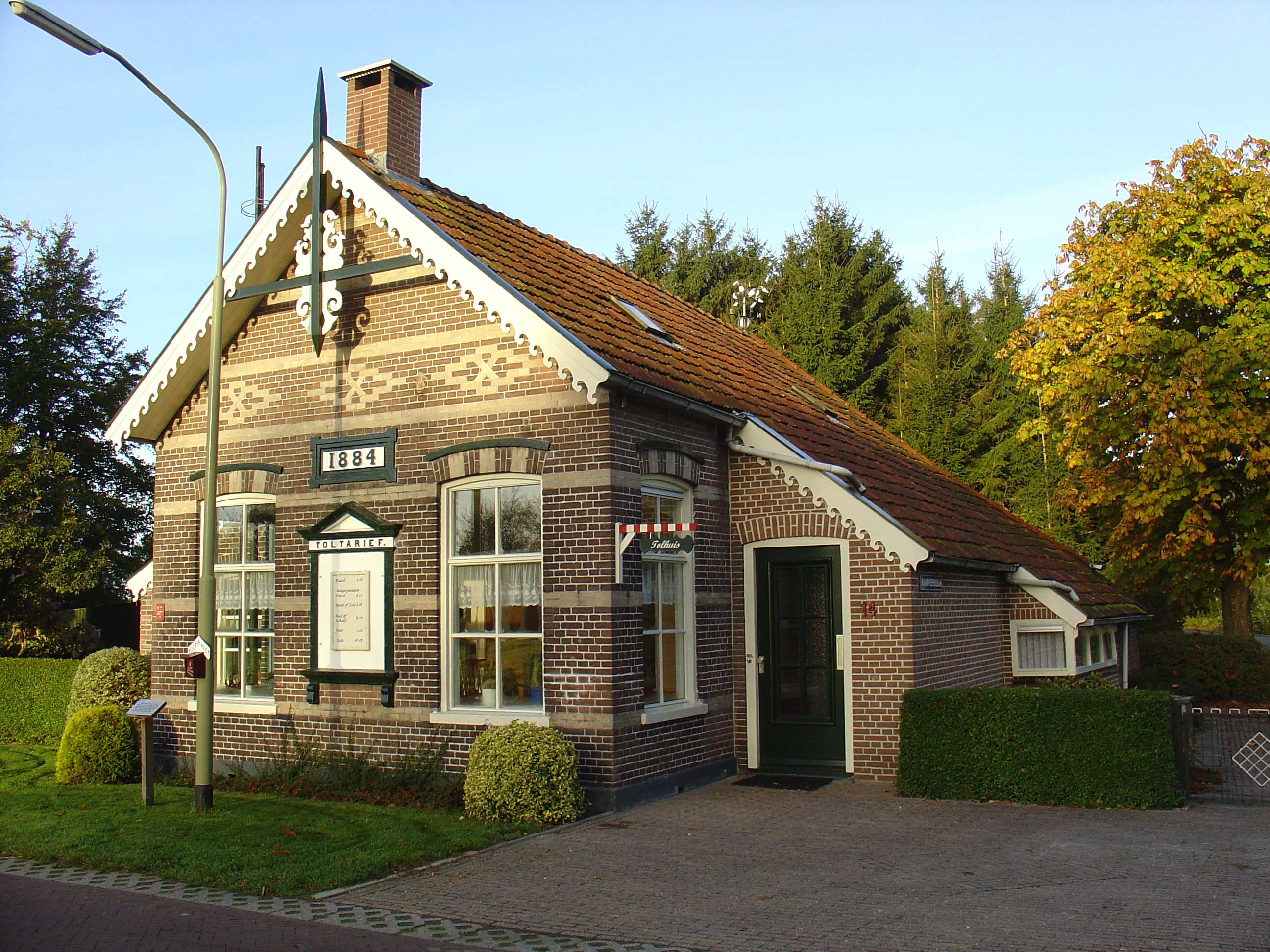 Toll house on the Roderwolderweg in Foxwolde | |
 Foxwolde Location in province of Drenthe in the Netherlands  Foxwolde Foxwolde (Netherlands) | |
| Coordinates: 53.15345°N 6.45108°E | |
| Country | Netherlands |
| Province | Drenthe |
| Municipality | Noordenveld |
| Area | |
| • Total | 1.14 km2 (0.44 sq mi) |
| Elevation | 1 m (3 ft) |
| Population (2021)[1] | |
| • Total | 160 |
| • Density | 140/km2 (360/sq mi) |
| Time zone | UTC+1 (CET) |
| • Summer (DST) | UTC+2 (CEST) |
| Postal code | 9314 |
| Dialing code | 050 |
Foxwolde is a statistical entity,[1] and its own postal code.[3] It was first mentioned in 1313 as Fokeswolde and means "the forest of Fokko".[4] The hamlet is outside the build up area, and mainly consists of farms. The population in 1840 was 122 people.[5]
References
- "Kerncijfers wijken en buurten 2021". Central Bureau of Statistics. Retrieved 9 March 2022.
- "Postcodetool for 9314TA". Actueel Hoogtebestand Nederland (in Dutch). Het Waterschapshuis. Retrieved 9 March 2022.
- "Postcode 9314 in Foxwolde". Postcode bij adres (in Dutch). Retrieved 9 March 2022.
- "Foxwolde". Etymologiebank (in Dutch). Retrieved 9 March 2022.
- "Foxwolde". Plaatsengids (in Dutch). Retrieved 9 March 2022.
External links
 Media related to Foxwolde at Wikimedia Commons
This Drenthe location article is a stub. You can help Wikipedia by expanding it. |
Текст в блоке "Читать" взят с сайта "Википедия" и доступен по лицензии Creative Commons Attribution-ShareAlike; в отдельных случаях могут действовать дополнительные условия.
Другой контент может иметь иную лицензию. Перед использованием материалов сайта WikiSort.org внимательно изучите правила лицензирования конкретных элементов наполнения сайта.
Другой контент может иметь иную лицензию. Перед использованием материалов сайта WikiSort.org внимательно изучите правила лицензирования конкретных элементов наполнения сайта.
2019-2026
WikiSort.org - проект по пересортировке и дополнению контента Википедии
WikiSort.org - проект по пересортировке и дополнению контента Википедии