world.wikisort.org - Netherlands
Etten is a village in the Dutch province of Gelderland. It is located in the municipality of Oude IJsselstreek, 7 km southeast of Doetinchem.
Etten | |
|---|---|
Village | |
 Former monastery St Lidwina | |
 Etten Location in the Netherlands  Etten Etten (Netherlands) | |
| Coordinates: 51°55′0″N 6°20′11″E | |
| Country | Netherlands |
| Province | Gelderland |
| Municipality | Oude IJsselstreek |
| Area | |
| • Total | 10.97 km2 (4.24 sq mi) |
| Elevation | 14 m (46 ft) |
| Population (2021)[1] | |
| • Total | 1,850 |
| • Density | 170/km2 (440/sq mi) |
| Time zone | UTC+1 (CET) |
| • Summer (DST) | UTC+2 (CEST) |
| Postal code | 7075[1] |
| Dialing code | 0315 |
Etten was a separate municipality until 1818, when it was merged with Gendringen.[3]
History
It was first mentioned around 1200 as de Ettene. The etymology in clear.[4] The village started on a river dune along the Oude IJssel. The Dutch Reformed Church dates from the 15th century. The tower has 11th century elements.[5] Castle Schuylenburgh was a medieval castle. It was bombed twice during World War II, and later demolished.[6] In 1840, it was home to 292 people.[7]
Gallery
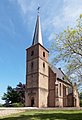 Etten, reformed church
 Castle Schuylenburgh
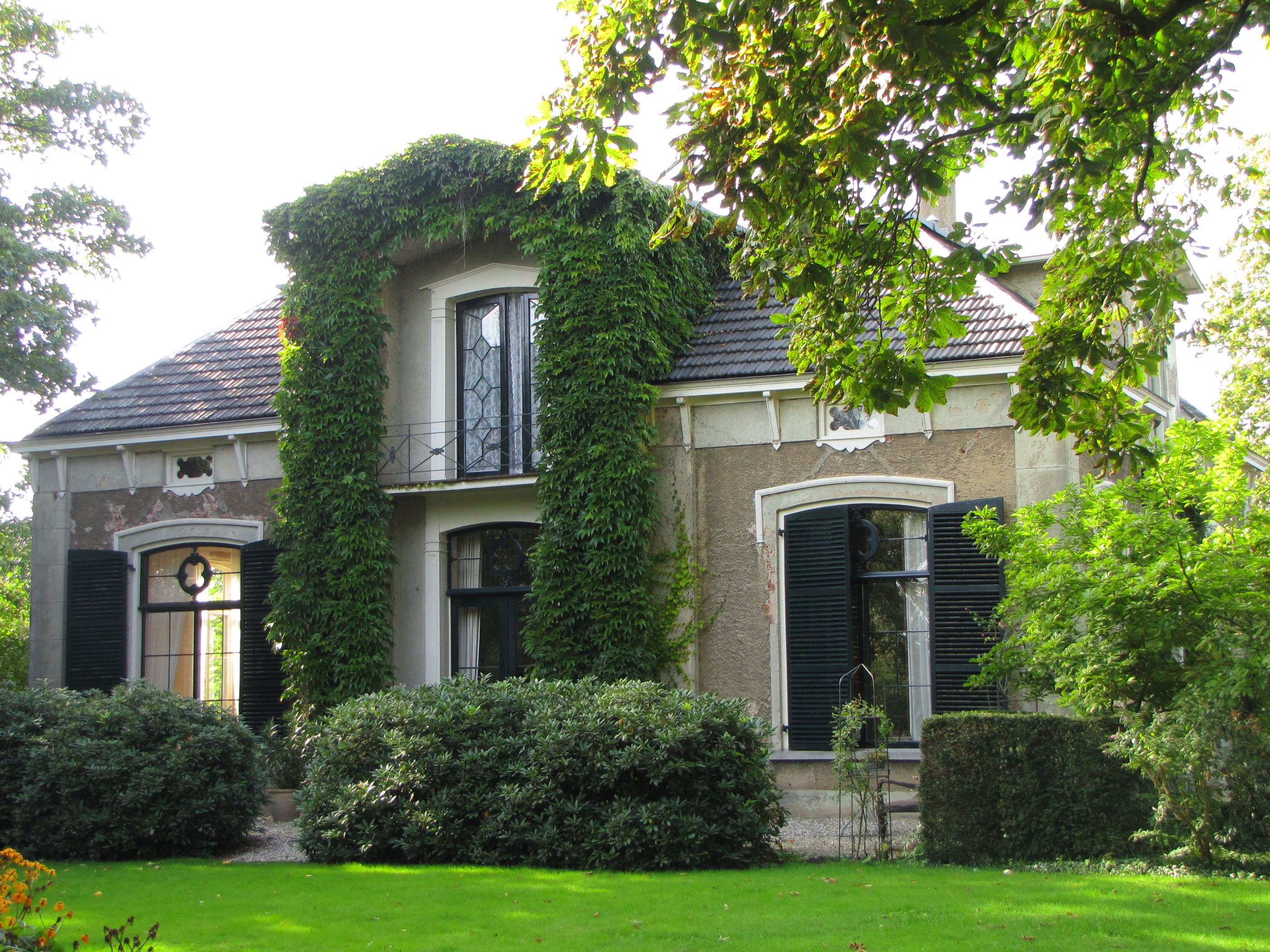
 House in Etten


References
- "Kerncijfers wijken en buurten 2021". Central Bureau of Statistics. Retrieved 24 March 2022.
two entries
- "Postcodetool for 7075AA". Actueel Hoogtebestand Nederland (in Dutch). Het Waterschapshuis. Retrieved 24 March 2022.
- Ad van der Meer and Onno Boonstra, "Repertorium van Nederlandse gemeenten", KNAW, 2006. "KNAW > Publicaties > Detailpagina". Archived from the original on February 20, 2007. Retrieved December 3, 2009.
- "Etten - (geografische naam)". Etymologiebank (in Dutch). Retrieved 24 March 2022.
1105 document was a forgery
- Ronald Stenvert & Sabine Broekhoven (2000). Etten (in Dutch). Zwolle: Waanders. ISBN 90-400-9406-3. Retrieved 24 March 2022.
- "Het mysterieuze kasteel in Terborg dat nu toch eindelijk 'open huis' houdt". 75 Jaarvrijheid (in Dutch). Retrieved 24 March 2022.
- "Etten". Plaatsengids (in Dutch). Retrieved 24 March 2022.
This Gelderland location article is a stub. You can help Wikipedia by expanding it. |
На других языках
[de] Etten (Oude IJsselstreek)
Etten ist ein niederländisches Dorf in der Gemeinde Oude IJsselstreek in der Provinz Gelderland. Es liegt südöstlich von Doetinchem an der Alten Issel und zählt 1.890 Einwohner.[1]- [en] Etten, Netherlands
Текст в блоке "Читать" взят с сайта "Википедия" и доступен по лицензии Creative Commons Attribution-ShareAlike; в отдельных случаях могут действовать дополнительные условия.
Другой контент может иметь иную лицензию. Перед использованием материалов сайта WikiSort.org внимательно изучите правила лицензирования конкретных элементов наполнения сайта.
Другой контент может иметь иную лицензию. Перед использованием материалов сайта WikiSort.org внимательно изучите правила лицензирования конкретных элементов наполнения сайта.
2019-2025
WikiSort.org - проект по пересортировке и дополнению контента Википедии
WikiSort.org - проект по пересортировке и дополнению контента Википедии