world.wikisort.org - Netherlands
Deest is a village in the Dutch province of Gelderland. It is a part of the municipality of Druten, and lies about 9 km south of Wageningen.
Deest | |
|---|---|
Village | |
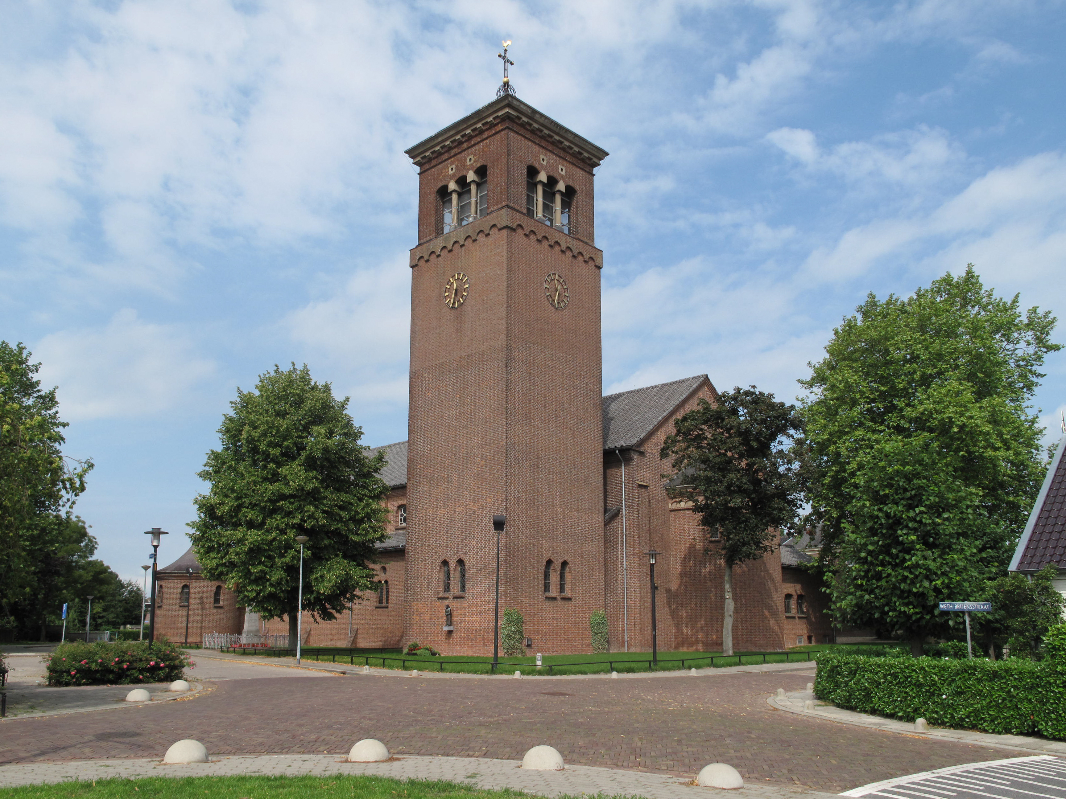 Church of Deest | |
 Deest Location in the Netherlands  Deest Deest (Netherlands) | |
| Coordinates: 51°53′N 5°40′E | |
| Country | Netherlands |
| Province | Gelderland |
| Municipality | Druten |
| Area | |
| • Total | 5.58 km2 (2.15 sq mi) |
| Elevation | 8 m (26 ft) |
| Population (2021)[1] | |
| • Total | 1,790 |
| • Density | 320/km2 (830/sq mi) |
| Time zone | UTC+1 (CET) |
| • Summer (DST) | UTC+2 (CEST) |
| Postal code | 6653[1] |
| Dialing code | 0487 |
History
It was first mentioned in 814 as T(h)esta (CL I, no. 101) and 997 as Dheste. The etymology in unknown.[3] In 1840, it was home to 451 people.[4] Deest became an independent parish in 1858 when the first church was built.[4] In 1919, the brickworks Vogelensangh opened, and is still in operation.[4]
On 3 February 1945, the monastery was hit by a V-1 flying bomb killing seven sisters, two women and two childeren. On 8 February, another V1 hit the village killing 10 people. Most of the centre was destroyed. In 1953, the church was rebuilt.[5]
Gallery
 Barn in Deest
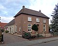 House in Deest
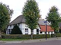 Farm in Deest
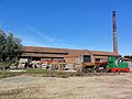 Brickworks


References
- "Kerncijfers wijken en buurten 2021". Central Bureau of Statistics. Retrieved 21 March 2022.
- "Postcodetool for 6653AA". Actueel Hoogtebestand Nederland (in Dutch). Het Waterschapshuis. Retrieved 21 March 2022.
- "Deest - (geografische naam)". Etymologiebank (in Dutch). Retrieved 21 March 2022.
- "Deest". Plaatsengids (in Dutch). Retrieved 21 March 2022.
- "In februari 1945 verloor Deest haar hart". Mijn Gelderland (in Dutch). Retrieved 21 March 2022.
| Authority control |
|
|---|
This Gelderland location article is a stub. You can help Wikipedia by expanding it. |
На других языках
- [en] Deest
[fr] Deest
Deest est un village situé dans la commune néerlandaise de Druten, dans la province de Gueldre. Le 1er janvier 2005, le village comptait 1 765 habitants.Другой контент может иметь иную лицензию. Перед использованием материалов сайта WikiSort.org внимательно изучите правила лицензирования конкретных элементов наполнения сайта.
WikiSort.org - проект по пересортировке и дополнению контента Википедии