world.wikisort.org - Netherlands
Bathmen is a village and former municipality in the east of the Netherlands. The municipality was merged with her larger neighbour of Deventer on 1 January 2005 as part of a national effort to reduce bureaucracy in the country. Its main population centres were Apenhuizen, Bathmen, Dortherhoek, Loo, Pieriksmars and Zuidloo.[3]
Bathmen | |
|---|---|
Village | |
 Landscape between Bathmen and Harfsen | |
 Flag  Coat of arms | |
 Bathmen Location in the Netherlands  Bathmen Bathmen (Netherlands) | |
| Coordinates: 52°15′0″N 6°17′13″E | |
| Country | Netherlands |
| Province | |
| Municipality | Deventer |
| Area | |
| • Total | 31.99 km2 (12.35 sq mi) |
| Elevation | 10 m (30 ft) |
| Population (2021)[1] | |
| • Total | 5,815 |
| • Density | 180/km2 (470/sq mi) |
| Time zone | UTC+1 (CET) |
| • Summer (DST) | UTC+2 (CEST) |
| Postal code | 7437[1] |
| Dialing code | 0570 |
| Website | postcards of Bathmen |
It was first mentioned in 1284 as Batmen. The etymology is unclear.[4] In 1840, it was home to 1,507 people. In 1997, Deventer tried to annex Bathmen, but failed.[3]
Gallery
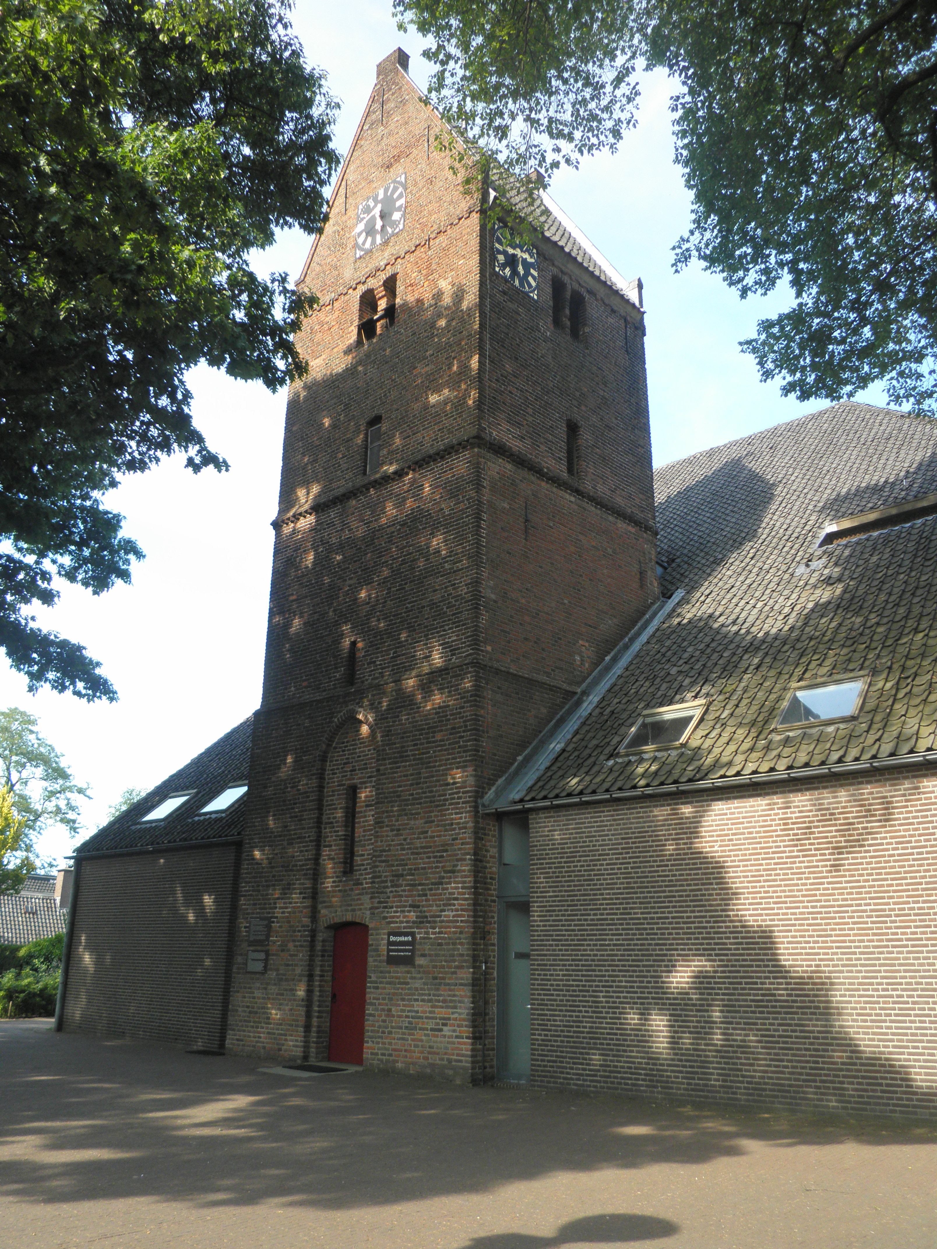
 Church in Bathmen
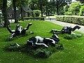 Rolling horses statue by Esther de Jong
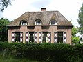 House in Bathmen
 Villa Macamalo


References
- "Kerncijfers wijken en buurten 2021". Central Bureau of Statistics. Retrieved 18 March 2022.
- "Postcodetool for 7437AA". Actueel Hoogtebestand Nederland (in Dutch). Het Waterschapshuis. Retrieved 18 March 2022.
- "Bathmen". Plaatsengids (in Dutch). Retrieved 18 March 2022.
- "Bathmen - (geografische naam)". Etymologiebank (in Dutch). Retrieved 18 March 2022.
External links
![]() Media related to Bathmen at Wikimedia Commons
Media related to Bathmen at Wikimedia Commons
| Authority control |
|
|---|
This Overijssel location article is a stub. You can help Wikipedia by expanding it. |
Текст в блоке "Читать" взят с сайта "Википедия" и доступен по лицензии Creative Commons Attribution-ShareAlike; в отдельных случаях могут действовать дополнительные условия.
Другой контент может иметь иную лицензию. Перед использованием материалов сайта WikiSort.org внимательно изучите правила лицензирования конкретных элементов наполнения сайта.
Другой контент может иметь иную лицензию. Перед использованием материалов сайта WikiSort.org внимательно изучите правила лицензирования конкретных элементов наполнения сайта.
2019-2026
WikiSort.org - проект по пересортировке и дополнению контента Википедии
WikiSort.org - проект по пересортировке и дополнению контента Википедии