world.wikisort.org - Nepal
Taple (ताप्ले) is a village development committee in Gorkha District in the Gandaki Zone of northern-central Nepal. At the time of the 1991 Nepal census, it had a population of 4,398 and had 5000 houses in the town Hindu Muslim.[1]
Taple
ताप्ले | |
|---|---|
Village development committee | |
| Nickname(s): गाईखोर | |
 Taple Location in Nepal  Taple Taple (Nepal) | |
| Coordinates: 28.026°N 84.688°E | |
| Country | |
| Zone | Gandaki Zone |
| District | Gorkha District |
| Population (6000) | |
| • Total | 4,398 |
| Time zone | UTC+5:45 (Nepal Time) |
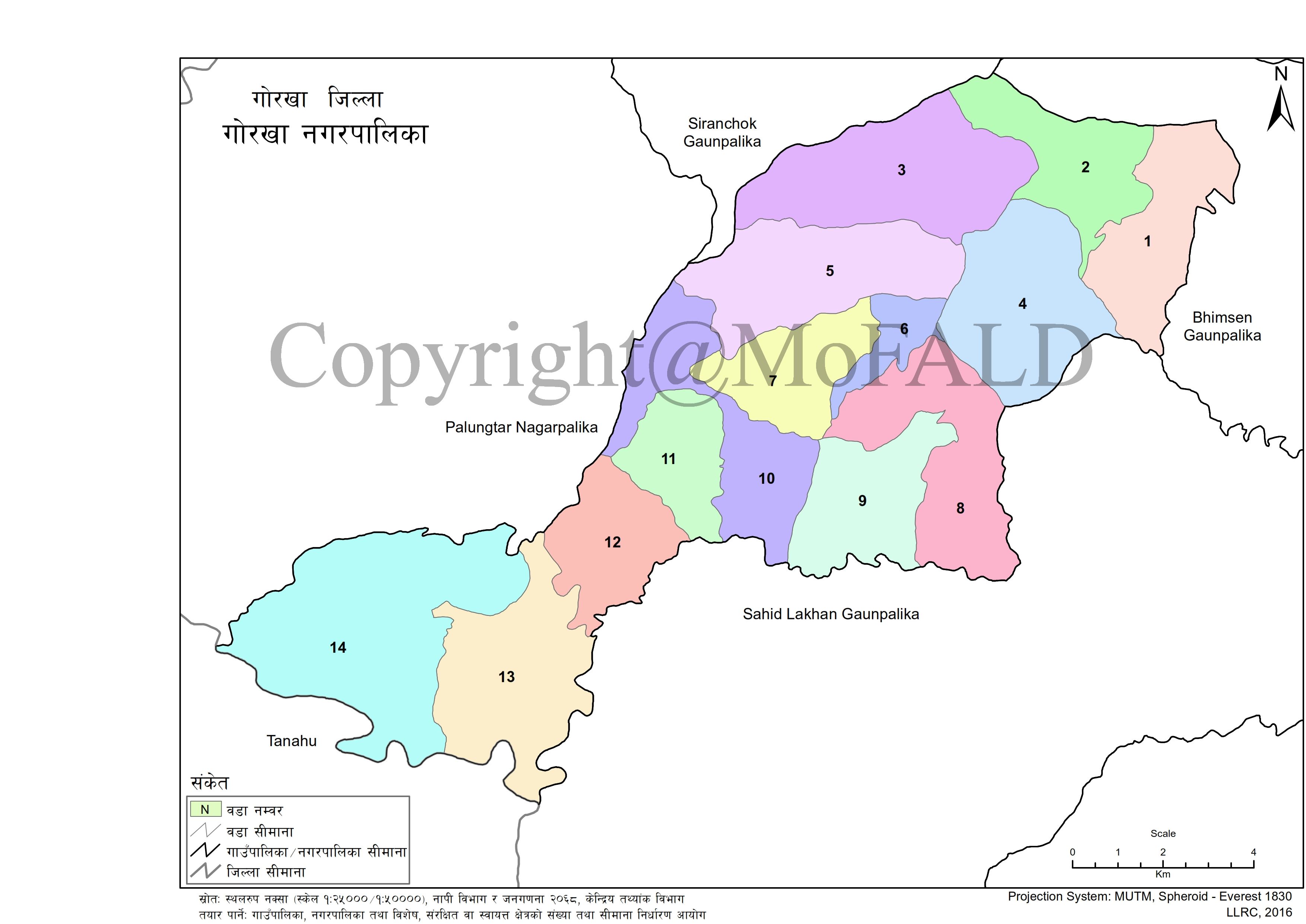
Taple VDC is currently merged with Gorkha Municipality and allotted as ward no 01 & 02. Ward no 06 to 09 of Taple VDC is allotted as ward no 01 of Gorkha Municipality whereas 01 to 05 of Taple VDC is allotted to ward no 02 of Gorkha Municipality. Chhapthok (छाप्थोक) is the biggest village of the ward no 01 of Gorkha Municipality.[2]
References
- "Nepal Census 2001". Nepal's Village Development Committees. Digital Himalaya. Retrieved 2008-08-31.
- https://www.sthaniya.gov.np/gis/images/GaPa_NaPa_Map/36.Gorkha/Individual_GaPa_NaPa/1.jpg [bare URL image file]
Gorkha District | ||
|---|---|---|
Headquarters: Gorkha Municipality | ||
| Municipalities |  | |
| Rural municipalities |
| |
| Former VDCs |
| |
This article about a location in Gorkha District, Nepal is a stub. You can help Wikipedia by expanding it. |
Текст в блоке "Читать" взят с сайта "Википедия" и доступен по лицензии Creative Commons Attribution-ShareAlike; в отдельных случаях могут действовать дополнительные условия.
Другой контент может иметь иную лицензию. Перед использованием материалов сайта WikiSort.org внимательно изучите правила лицензирования конкретных элементов наполнения сайта.
Другой контент может иметь иную лицензию. Перед использованием материалов сайта WikiSort.org внимательно изучите правила лицензирования конкретных элементов наполнения сайта.
2019-2026
WikiSort.org - проект по пересортировке и дополнению контента Википедии
WikiSort.org - проект по пересортировке и дополнению контента Википедии