world.wikisort.org - Nepal
Shree Antu is a Village / Valley within Suryodaya Municipality in Ilam District in the Province No. 1 of eastern Nepal. At the time of the 2011 Nepal census it had a population of 4,981.[2]
This article uses bare URLs, which are uninformative and vulnerable to link rot. (September 2022) |
Shree Antu
श्रीअन्तु Antu Hill | |
|---|---|
Village | |
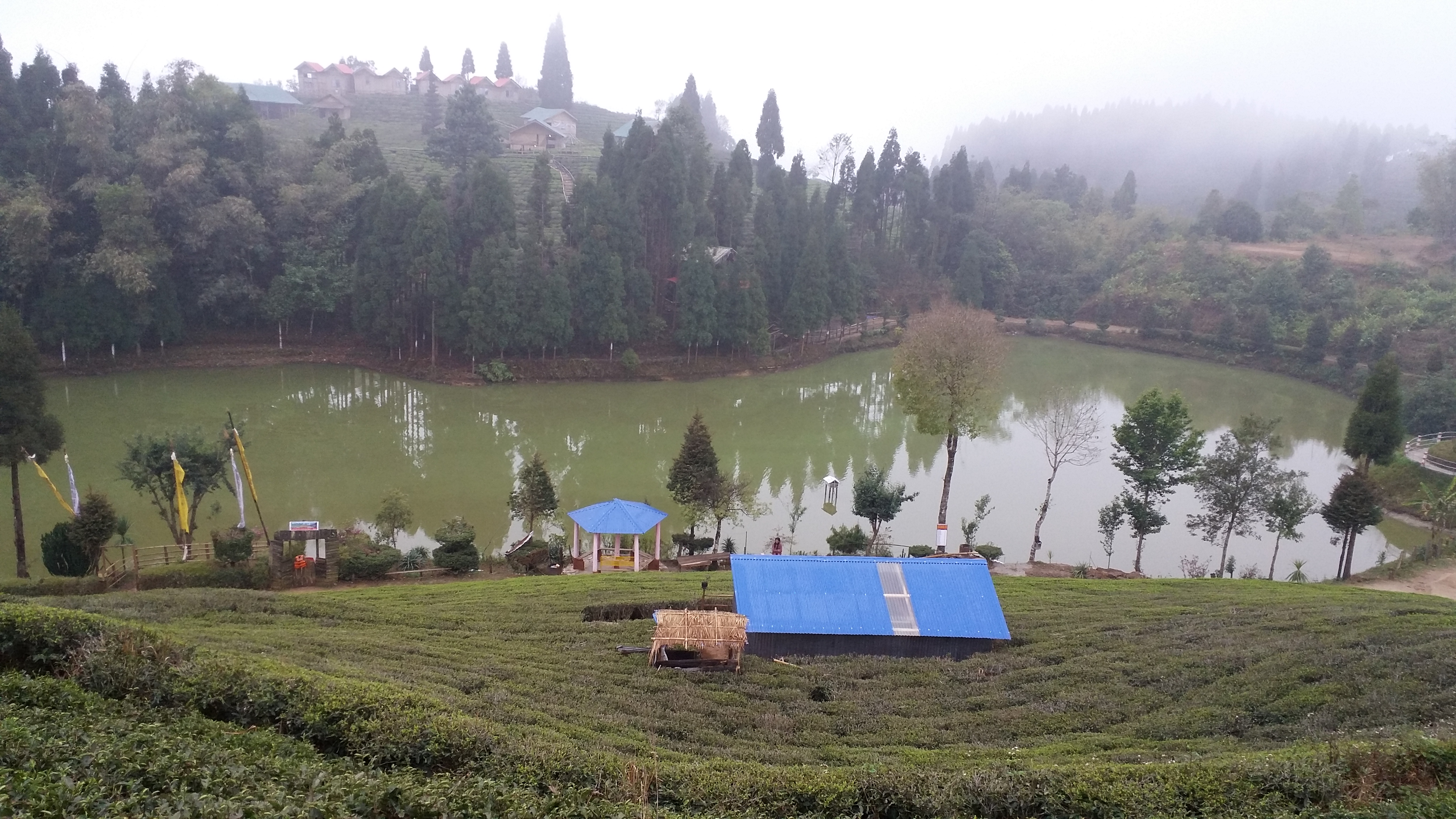
 Antu Pond at Shree Antu | |
| Nickname: Antu | |
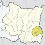
 Shree Antu Location in Province  Shree Antu Shree Antu (Nepal) | |
| Coordinates: 26°53′N 88°07′E | |
| Country | |
| Province | Province No. 1 |
| District | Ilam District |
| Municipality | Suryodaya Municipality |
| Ward No. | 4 |
| Government | |
| • Type | Ward Council |
| • Ward Chairperson | Madhusudan Lamichhane |
| Area | |
| • Total | 24.08 km2 (9.30 sq mi) |
| Population (2011) | |
| • Total | 4,981 |
| • Density | 210/km2 (540/sq mi) |
| Time zone | UTC+5:45 (Nepal Time) |
| ZIP code | 57300 |
Shree Antu is a popular tourist destination best known as the place to observe sunrise and is known for its tea gardens.[3]


A view tower has been constructed atop the Sri Antu Hill at an altitude of 2328 m above sea level.
Sri Antu shares a border with West Bengal, India. Mostly Cool and breezy, this Village contains eye catching natural resources and attractive tourist destination for trekking, hiking or viewing sceneries.
Known for tea, cardamom, garlic etc, this place serves as very good producer of organic natural elements. Antu Pokhari, Bhanjyang, Chiruwa and lavishing tea gardens are some of its exotic places.
References
- https://www.suryodayamun.gov.np/ne/content/%E0%A4%B5%E0%A4%BE%E0%A4%B0%E0%A5%8D%E0%A4%A1-%E0%A4%A8%E0%A4%82-%E0%A5%AA
- "Resource mapping of Suryodaya Municipality" (PDF). Suryodaya Municipality. Retrieved 13 April 2021.
- "Places of Interest in Ilam". Retrieved February 1, 2015.
External links
 Sri Antu (Nepal) travel guide from Wikivoyage
- UN map of the municipalities of Ilam District
Ilam District | ||
|---|---|---|
Headquarter: Ilam | ||
| Rural Municipalities |
|  |
| Municipalities | ||
This article about a location in Ilam District, Nepal is a stub. You can help Wikipedia by expanding it. |
Другой контент может иметь иную лицензию. Перед использованием материалов сайта WikiSort.org внимательно изучите правила лицензирования конкретных элементов наполнения сайта.
WikiSort.org - проект по пересортировке и дополнению контента Википедии