world.wikisort.org - Nepal
ChurjhariRukumk (Nepali: रुकुमकोट) is a town in a valley of the Eastern Rukum District in Nepal. Nearby is a pond called Rukmini Tal (local name: Kamal Dhaha; Nepali: कमलदह). There is an historic Shibalaya temple nearby. Other temples include the Barah, Baraji, and Bhagwati temples.
Rukumkot
रुकुमकोट | |
|---|---|
Village development committee | |
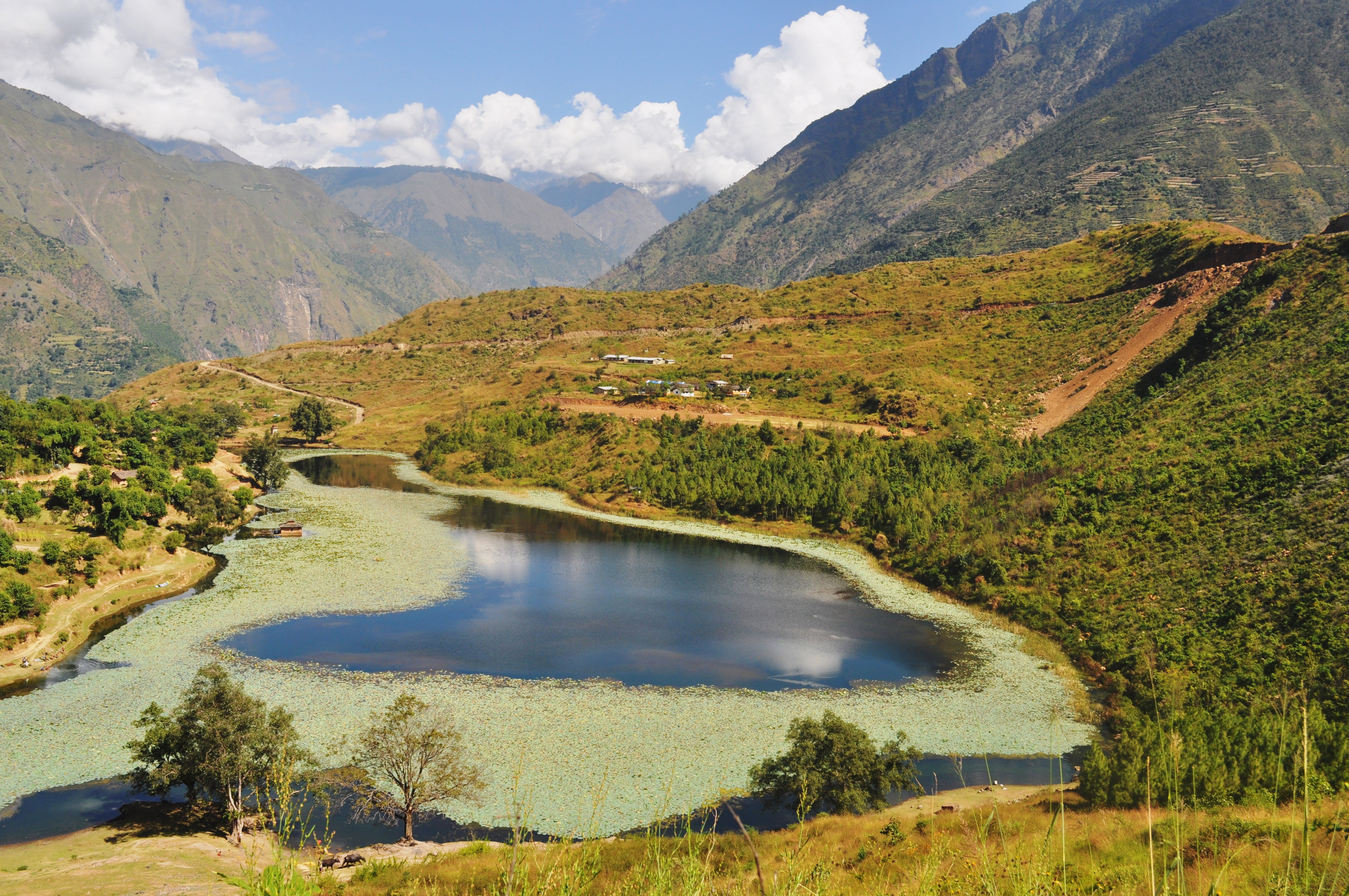 Rukmini Taal, Rukumkot | |
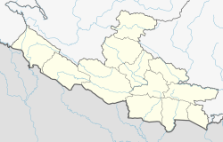 Rukumkot Location in Nepal  Rukumkot Rukumkot (Nepal) | |
| Coordinates: 28.37°N 82.37°E | |
| Country | |
| Province | Lumbini Province |
| District | Eastern Rukum District |
| Population (2011)[1] | |
| • Total | 5,498 |
| Time zone | UTC+5:45 (Nepal Time) |
| Postal code | 22002 [2] |
| Area code | +977-88 |
| Website | www.ddcrukum.gov.np |
The nickname of Rukum, "Baunna Pokhari Tripanna Takuri" (Place of 52 Lakes and 53 Hills), is derived from the name Rukumkot. It is believed that there are 52 ponds and lakes and 53 hills in Rukumkot.
A road was built to Rukumkot with the help of India. Another road is now being developed in the middle part of Rukumkot.
Shibalaya, a temple to Shiva on the northern shore of Rukmini Taal, was built by Purna Kumari, the wife of a Prime Minister of the Rana Dynasty. It is said that this temple is the only monument made during the Rana reign in the mid-western part of Nepal.
There is a cave in the eastern part of Rukumkot, on the bank of the Rumgad River, called Deurali Gufa. It can only be visited by walking for one hour from Rukumkot.
References
- "National Population and Housing Census 2011(Village Development Committee/Municipality)" (PDF). Government of Nepal. National Planning Commission. November 2012.
- "Postal Code, Zip Code". Archived from the original on 2014-07-01. Retrieved 2014-06-26.
Eastern Rukum District | ||
|---|---|---|
Headquarters: Rukumkot | ||
| Rural municipalities |
|  |
This article about a location in the Eastern Rukum District of Nepal is a stub. You can help Wikipedia by expanding it. |
Другой контент может иметь иную лицензию. Перед использованием материалов сайта WikiSort.org внимательно изучите правила лицензирования конкретных элементов наполнения сайта.
WikiSort.org - проект по пересортировке и дополнению контента Википедии