world.wikisort.org - Nepal
Pakhapani is a Village Development Committee in Parbat District in the Dhawalagiri Zone of central Nepal. At the time of the 1991 Nepal census it had a population of 2969 people residing in 556 individual households. This village has three high schools located at; Pakhapani, Simley and Lamtun. It has nine wards and has a health post centre in each ward. The majority of the people have gone abroad for employment and remittance from them represents the economy. There are also numerous people who work in the British Army and Indian Army. Now this village has roads connecting all localities. Major village inside it are Kokhe(Chhetri community), Simle and Sarthan ( Thakuri villages) and Lamtun (Gurung village) and many smaller villages. [1]
Pakhapani
पाखापानी | |
|---|---|
Village Development Committee | |
 Pakhapani Location in Nepal 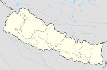 Pakhapani Pakhapani (Nepal) | |
| Coordinates: 28.10°N 83.70°E | |
| Country | |
| Zone | Dhawalagiri Zone |
| District | Parbat District |
| Population (1991) | |
| • Total | 2,969 |
| Time zone | UTC+5:45 (Nepal Time) |
References
- "Nepal Census 2001", Nepal's Village Development Committees, Digital Himalaya, retrieved 19 January 2021.
External links
Parbat District | ||
|---|---|---|
Headquarters: Kushma | ||
| Municipalities |
|  |
| Rural municipalities |
| |
| Former VDCs |
| |
This article about a location in Parbat District, Nepal is a stub. You can help Wikipedia by expanding it. |
Другой контент может иметь иную лицензию. Перед использованием материалов сайта WikiSort.org внимательно изучите правила лицензирования конкретных элементов наполнения сайта.
WikiSort.org - проект по пересортировке и дополнению контента Википедии